Estimated Value: $197,000 - $320,000
4
Beds
1
Bath
1,746
Sq Ft
$145/Sq Ft
Est. Value
About This Home
This home is located at 14364 Watson Rd, Pekin, IL 61554 and is currently estimated at $253,041, approximately $144 per square foot. 14364 Watson Rd is a home located in Tazewell County with nearby schools including Tremont Elementary School, Tremont Middle School, and Tremont High School.
Ownership History
Date
Name
Owned For
Owner Type
Purchase Details
Closed on
Apr 19, 2019
Sold by
Howlett Darren L and Howlett Melissa D
Bought by
Howlett Darren L and Howlett Melissa D
Current Estimated Value
Purchase Details
Closed on
Nov 9, 2012
Sold by
Hellemann Ruth A and Hellemann Franklin Mclean
Bought by
Howlett Darren L and Howlett Melissa D
Purchase Details
Closed on
Aug 10, 2005
Sold by
Lee Keith I
Bought by
Hellemann Franklin M and Hellemann Ruth A
Home Financials for this Owner
Home Financials are based on the most recent Mortgage that was taken out on this home.
Original Mortgage
$80,000
Interest Rate
5.69%
Mortgage Type
New Conventional
Create a Home Valuation Report for This Property
The Home Valuation Report is an in-depth analysis detailing your home's value as well as a comparison with similar homes in the area
Home Values in the Area
Average Home Value in this Area
Purchase History
| Date | Buyer | Sale Price | Title Company |
|---|---|---|---|
| Howlett Darren L | -- | None Available | |
| Howlett Darren L | -- | None Available | |
| Hellemann Franklin M | $130,000 | -- |
Source: Public Records
Mortgage History
| Date | Status | Borrower | Loan Amount |
|---|---|---|---|
| Previous Owner | Hellemann Franklin M | $80,000 |
Source: Public Records
Tax History Compared to Growth
Tax History
| Year | Tax Paid | Tax Assessment Tax Assessment Total Assessment is a certain percentage of the fair market value that is determined by local assessors to be the total taxable value of land and additions on the property. | Land | Improvement |
|---|---|---|---|---|
| 2024 | $3,447 | $53,140 | $9,280 | $43,860 |
| 2023 | $3,447 | $48,940 | $8,530 | $40,410 |
| 2022 | $3,358 | $45,680 | $7,940 | $37,740 |
| 2021 | $3,270 | $43,980 | $7,630 | $36,350 |
| 2020 | $2,785 | $43,140 | $7,470 | $35,670 |
| 2019 | $2,786 | $43,130 | $7,460 | $35,670 |
| 2018 | $2,738 | $43,120 | $7,450 | $35,670 |
| 2017 | $2,691 | $42,130 | $7,130 | $35,000 |
| 2016 | $2,651 | $42,130 | $7,130 | $35,000 |
| 2015 | $2,579 | $0 | $0 | $0 |
| 2013 | $2,544 | $42,130 | $7,130 | $35,000 |
Source: Public Records
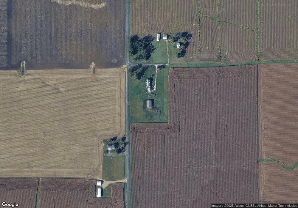
Map
Nearby Homes
- 1920-1922 Mayflower Dr
- 1960-1962 Mayflower Dr
- 105 Royal Point Ct
- 116 Lost Creek Ct
- 107 Lost Creek Ct
- 313 W South St
- 16810 Springfield Rd
- 316 N Locust St
- 3858 Sunset Dr
- 0 Illinois 9
- 5859 Broadway Rd
- 5559 Broadway Rd
- 17902 Red Shale Hill Rd
- 13694 Egg Ranch Rd
- 227 Indian Creek Dr
- 1922 Highwood Ave
- 305 Conaghan Dr
- 9 Cypress Point
- 3747 Grandview Ct
- 16 Point Ct E
- 14364 Watson Rd
- 14157 Watson Rd
- 20237 State Route 9
- 14646 Watson Rd
- 14646 County Road 2050 E
- 14646 County Road 2050 E
- 20231 State Route 9
- 14600 Springfield Rd
- 14664 Springfield Rd
- 14558 Springfield Rd
- 13989 Watson Rd
- 14240 Springfield Rd
- 19871 State Route 9
- 115 Cape Ann Ct
- 114 Cape Ann Ct
- 117 Cape Ann Ct
- 116 Cape Ann Ct
- 119 Cape Ann Ct
- 118 Cape Ann Ct
- 6100 Hartford Dr