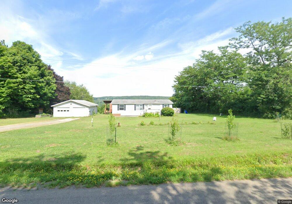
144 Hyde St Whitney Point, NY 13862
Estimated Value: $115,000 - $141,244
3
Beds
2
Baths
1,232
Sq Ft
$104/Sq Ft
Est. Value
About This Home
This home is located at 144 Hyde St, Whitney Point, NY 13862 and is currently estimated at $127,811, approximately $103 per square foot. 144 Hyde St is a home with nearby schools including Caryl E. Adams Primary School, Tioughnioga Riverside Academy, and Whitney Point Senior High School.
Ownership History
Date
Name
Owned For
Owner Type
Purchase Details
Closed on
Nov 3, 2017
Sold by
Gerdus Leona and Gerdus David
Bought by
Decoursey Cody
Current Estimated Value
Home Financials for this Owner
Home Financials are based on the most recent Mortgage that was taken out on this home.
Original Mortgage
$63,000
Outstanding Balance
$52,791
Interest Rate
3.85%
Mortgage Type
New Conventional
Estimated Equity
$75,020
Purchase Details
Closed on
Oct 3, 2006
Sold by
Canniiff David
Bought by
Gerdus Leona
Home Financials for this Owner
Home Financials are based on the most recent Mortgage that was taken out on this home.
Original Mortgage
$69,350
Interest Rate
6.49%
Mortgage Type
New Conventional
Purchase Details
Closed on
Oct 8, 1997
Sold by
Talarico David
Bought by
Canniff David W and Canniff Linda L
Purchase Details
Closed on
Jan 4, 1993
Sold by
Kelly & Estate
Bought by
Talarico David and Talarico Juli
Create a Home Valuation Report for This Property
The Home Valuation Report is an in-depth analysis detailing your home's value as well as a comparison with similar homes in the area
Home Values in the Area
Average Home Value in this Area
Purchase History
| Date | Buyer | Sale Price | Title Company |
|---|---|---|---|
| Decoursey Cody | $72,500 | -- | |
| Gerdus Leona | $73,000 | David Guy | |
| Canniff David W | $7,000 | -- | |
| Talarico David | $5,250 | -- |
Source: Public Records
Mortgage History
| Date | Status | Borrower | Loan Amount |
|---|---|---|---|
| Open | Decoursey Cody | $63,000 | |
| Previous Owner | Gerdus Leona | $69,350 |
Source: Public Records
Tax History Compared to Growth
Tax History
| Year | Tax Paid | Tax Assessment Tax Assessment Total Assessment is a certain percentage of the fair market value that is determined by local assessors to be the total taxable value of land and additions on the property. | Land | Improvement |
|---|---|---|---|---|
| 2024 | $2,156 | $72,100 | $19,200 | $52,900 |
| 2023 | $2,138 | $72,100 | $19,200 | $52,900 |
| 2022 | $2,147 | $72,100 | $19,200 | $52,900 |
| 2021 | $2,077 | $72,100 | $19,200 | $52,900 |
| 2020 | $2,124 | $72,100 | $19,200 | $52,900 |
| 2019 | -- | $72,100 | $19,200 | $52,900 |
| 2018 | $2,118 | $72,100 | $19,200 | $52,900 |
| 2017 | $1,734 | $78,700 | $19,200 | $59,500 |
| 2016 | $1,722 | $78,700 | $19,200 | $59,500 |
| 2015 | -- | $78,700 | $19,200 | $59,500 |
| 2014 | -- | $78,700 | $19,200 | $59,500 |
Source: Public Records
Map
Nearby Homes
- 6 Dedrick Hill Rd
- 452 Perry Rd
- 219 Swift Rd
- 603 Brotzman Rd
- 226 Knapp Hill Rd
- 494 Brotzman Rd
- 309 Parsons Rd
- 134 Kolb Rd
- 198 Conklin Hill Rd
- 197 Port Rd
- 400 Upper Stella Ireland Rd
- 6667 State Route 79
- 6633 State Route 79
- 57 Edelweiss Ln
- 13 Parsons Rd
- 437 Castle Creek Rd
- 136 W Chenango Rd
- 446 Conklin Hill Rd
- 87 Pamela Dr
- 7674 State Route 79