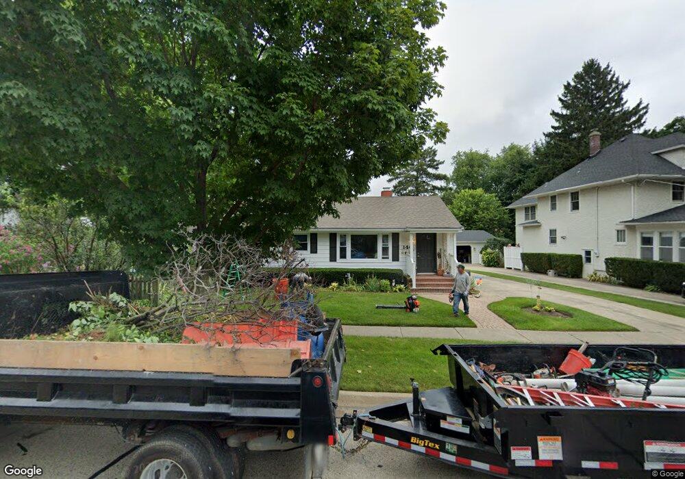
144 Mckinley Ave Libertyville, IL 60048
South Libertyville NeighborhoodEstimated Value: $394,601 - $468,000
--
Bed
2
Baths
1,024
Sq Ft
$421/Sq Ft
Est. Value
About This Home
This home is located at 144 Mckinley Ave, Libertyville, IL 60048 and is currently estimated at $431,400, approximately $421 per square foot. 144 Mckinley Ave is a home located in Lake County with nearby schools including Rockland Elementary School, Highland Middle School, and Libertyville High School.
Ownership History
Date
Name
Owned For
Owner Type
Purchase Details
Closed on
Aug 8, 2000
Sold by
Branding David W and Branding Karen L
Bought by
Kibble Catherine A
Current Estimated Value
Home Financials for this Owner
Home Financials are based on the most recent Mortgage that was taken out on this home.
Original Mortgage
$183,200
Outstanding Balance
$66,145
Interest Rate
8.16%
Estimated Equity
$365,255
Create a Home Valuation Report for This Property
The Home Valuation Report is an in-depth analysis detailing your home's value as well as a comparison with similar homes in the area
Home Values in the Area
Average Home Value in this Area
Purchase History
| Date | Buyer | Sale Price | Title Company |
|---|---|---|---|
| Kibble Catherine A | $229,000 | -- |
Source: Public Records
Mortgage History
| Date | Status | Borrower | Loan Amount |
|---|---|---|---|
| Open | Kibble Catherine A | $183,200 | |
| Closed | Kibble Catherine A | $22,900 |
Source: Public Records
Tax History Compared to Growth
Tax History
| Year | Tax Paid | Tax Assessment Tax Assessment Total Assessment is a certain percentage of the fair market value that is determined by local assessors to be the total taxable value of land and additions on the property. | Land | Improvement |
|---|---|---|---|---|
| 2024 | $7,307 | $107,047 | $72,705 | $34,342 |
| 2023 | $7,107 | $98,734 | $67,059 | $31,675 |
| 2022 | $7,107 | $94,866 | $64,454 | $30,412 |
| 2021 | $6,838 | $92,824 | $63,067 | $29,757 |
| 2020 | $7,027 | $97,089 | $65,965 | $31,124 |
| 2019 | $6,853 | $96,166 | $65,338 | $30,828 |
| 2018 | $6,679 | $96,966 | $64,797 | $32,169 |
| 2017 | $6,583 | $93,904 | $62,751 | $31,153 |
| 2016 | $6,355 | $89,034 | $59,497 | $29,537 |
| 2015 | $6,283 | $83,217 | $55,610 | $27,607 |
| 2014 | $5,942 | $76,729 | $51,274 | $25,455 |
| 2012 | $5,748 | $78,178 | $52,242 | $25,936 |
Source: Public Records
Map
Nearby Homes
- 1754 Glenmore Rd
- 426 S Milwaukee Ave
- 308 Mckinley Ave
- 423 Ames St
- 401 S 4th Ave
- 112 3rd St
- 0 Ames St
- 212 Elm Ct
- 217 E Church St
- 121 4th St
- 551 W Park Ave Unit E
- 700 E Sunnyside Ave
- 601 Broadway St
- 505 Lange Ct
- 420 W Cook Ave
- 747 Garfield Ave Unit C
- 785 Meadow Ln
- 777 Garfield Ave Unit A
- 533 Drake St
- 224 Newberry Ave
- 140 Mckinley Ave
- 148 Mckinley Ave
- 136 Mckinley Ave
- 145 Mckinley Ave
- 130 Mckinley Ave
- 216 S Stewart Ave
- 154 Mckinley Ave
- 222 S Stewart Ave
- 139 Sunnyside Place
- 141 Sunnyside Place
- 152 Mckinley Ave
- 212 S Stewart Ave
- 128 Mckinley Ave
- 304 S Stewart Ave
- 304 S Stewart Ave Unit A
- 141 Mckinley Ave
- 147 Sunnyside Place
- 310 S Stewart Ave
- 129 Sunnyside Place
- 147 Sunnyside Place