14435 State Highway 181 Fairhope, AL 36532
Estimated Value: $425,000 - $913,000
3
Beds
2
Baths
1,431
Sq Ft
$499/Sq Ft
Est. Value
About This Home
This home is located at 14435 State Highway 181, Fairhope, AL 36532 and is currently estimated at $714,406, approximately $499 per square foot. 14435 State Highway 181 is a home located in Baldwin County with nearby schools including J. Larry Newton School, Fairhope Middle School, and Fairhope High School.
Ownership History
Date
Name
Owned For
Owner Type
Purchase Details
Closed on
Sep 28, 2021
Sold by
Norrell Erik Marshall and Norrell Jessica
Bought by
Patterson Randi
Current Estimated Value
Home Financials for this Owner
Home Financials are based on the most recent Mortgage that was taken out on this home.
Original Mortgage
$525,999
Outstanding Balance
$479,662
Interest Rate
2.8%
Mortgage Type
New Conventional
Estimated Equity
$234,744
Purchase Details
Closed on
Jul 19, 2019
Sold by
Mcquillen Amanda M and Mcquillen William M
Bought by
Norrell Erik Marshall
Home Financials for this Owner
Home Financials are based on the most recent Mortgage that was taken out on this home.
Original Mortgage
$500,333
Interest Rate
3.82%
Mortgage Type
VA
Create a Home Valuation Report for This Property
The Home Valuation Report is an in-depth analysis detailing your home's value as well as a comparison with similar homes in the area
Home Values in the Area
Average Home Value in this Area
Purchase History
| Date | Buyer | Sale Price | Title Company |
|---|---|---|---|
| Patterson Randi | $657,499 | None Available | |
| Norrell Erik Marshall | $490,000 | None Available |
Source: Public Records
Mortgage History
| Date | Status | Borrower | Loan Amount |
|---|---|---|---|
| Open | Patterson Randi | $525,999 | |
| Previous Owner | Norrell Erik Marshall | $500,333 |
Source: Public Records
Tax History Compared to Growth
Tax History
| Year | Tax Paid | Tax Assessment Tax Assessment Total Assessment is a certain percentage of the fair market value that is determined by local assessors to be the total taxable value of land and additions on the property. | Land | Improvement |
|---|---|---|---|---|
| 2024 | $1,859 | $59,640 | $22,740 | $36,900 |
| 2023 | $3,327 | $107,320 | $38,260 | $69,060 |
| 2022 | $2,810 | $90,660 | $0 | $0 |
| 2021 | $1,188 | $33,520 | $0 | $0 |
| 2020 | $1,205 | $38,880 | $0 | $0 |
| 2019 | $666 | $25,380 | $0 | $0 |
| 2018 | $639 | $24,440 | $0 | $0 |
| 2017 | $746 | $28,260 | $0 | $0 |
| 2016 | $761 | $28,800 | $0 | $0 |
| 2015 | $740 | $28,020 | $0 | $0 |
| 2014 | $712 | $27,040 | $0 | $0 |
| 2013 | -- | $19,960 | $0 | $0 |
Source: Public Records
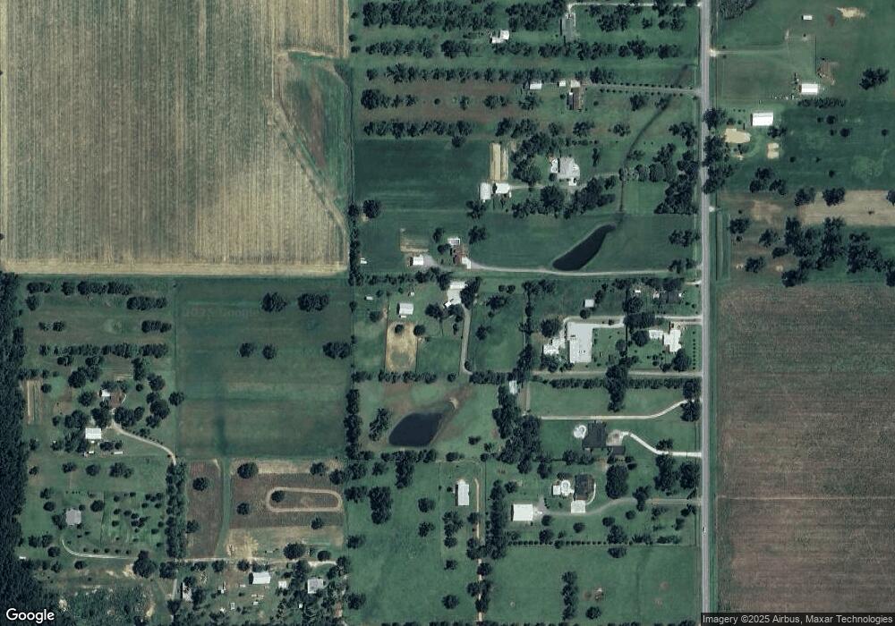
Map
Nearby Homes
- 14905 Frego Ln
- 9501 County Road 24
- 14606 County Road 13
- 837 Apricot Ln
- 8728 Zippers Trail
- 10773 County Road 24
- 14163 Sherwood Highland Rd
- 10125 US Highway 98
- CALI Plan at Laurelbrooke
- The Ryder Plan at Laurelbrooke
- KELLY Plan at Laurelbrooke
- LAKESIDE Plan at Laurelbrooke
- 15965 Laurelbrooke Loop
- 16277 Laurelbrooke Loop
- 16022 Laurelbrooke Loop
- 16039 Laurelbrooke Loop
- 0 Sparrow Ave Unit 2
- 16030 Laurelbrooke Loop
- 16051 Laurelbrooke Loop
- 16042 Laurelbrooke Loop
- 14435 State Highway 181
- 14495 State Highway 181
- 14495 Alabama 181
- 14425 State Highway 181
- 14545 State Highway 181
- 14411 Alabama 181
- 14411 State Highway 181
- 14499 State Highway 181
- 14467 State Highway 181
- 14351 State Highway 181
- 14585 State Highway 181
- 14673 State Highway 181
- 14624 State Highway 181
- 14624 State Highway 181
- 14737 State Highway 181
- 14255 State Highway 181
- 14561 State Highway 181
- 14263 State Highway 181
- 14263 State Highway 181
- 14263 State Highway 181