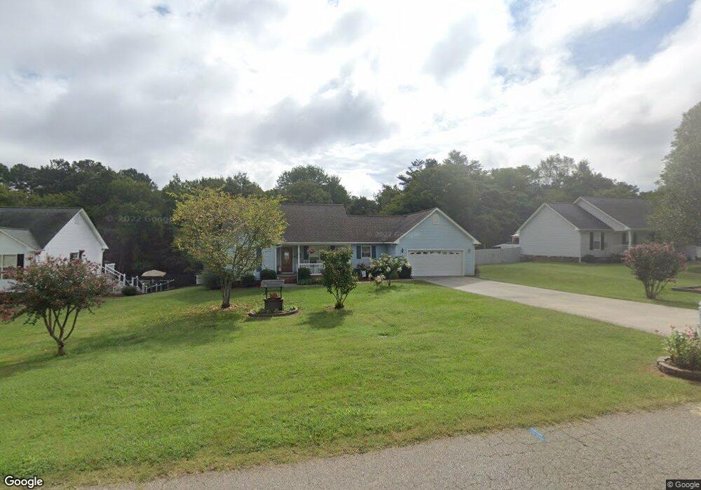
145 Charleston Ridge Dr Mocksville, NC 27028
Estimated Value: $256,000 - $318,259
3
Beds
2
Baths
1,134
Sq Ft
$242/Sq Ft
Est. Value
About This Home
This home is located at 145 Charleston Ridge Dr, Mocksville, NC 27028 and is currently estimated at $274,315, approximately $241 per square foot. 145 Charleston Ridge Dr is a home located in Davie County with nearby schools including Mocksville Elementary School, South Davie Middle, and Davie County High School.
Ownership History
Date
Name
Owned For
Owner Type
Purchase Details
Closed on
Jun 28, 2007
Sold by
Love Elizabeth Hall and Love Benjamin
Bought by
Shores Richard I and Shores Judy W
Current Estimated Value
Home Financials for this Owner
Home Financials are based on the most recent Mortgage that was taken out on this home.
Original Mortgage
$90,000
Outstanding Balance
$55,246
Interest Rate
6.16%
Mortgage Type
New Conventional
Estimated Equity
$219,069
Purchase Details
Closed on
Jul 1, 2004
Purchase Details
Closed on
Oct 1, 1998
Create a Home Valuation Report for This Property
The Home Valuation Report is an in-depth analysis detailing your home's value as well as a comparison with similar homes in the area
Home Values in the Area
Average Home Value in this Area
Purchase History
| Date | Buyer | Sale Price | Title Company |
|---|---|---|---|
| Shores Richard I | $128,500 | -- | |
| -- | $125,000 | -- | |
| -- | $102,000 | -- |
Source: Public Records
Mortgage History
| Date | Status | Borrower | Loan Amount |
|---|---|---|---|
| Open | Shores Richard I | $90,000 |
Source: Public Records
Tax History Compared to Growth
Tax History
| Year | Tax Paid | Tax Assessment Tax Assessment Total Assessment is a certain percentage of the fair market value that is determined by local assessors to be the total taxable value of land and additions on the property. | Land | Improvement |
|---|---|---|---|---|
| 2025 | $2,179 | $222,630 | $52,000 | $170,630 |
| 2024 | $1,566 | $147,300 | $17,330 | $129,970 |
| 2023 | $1,566 | $147,300 | $17,330 | $129,970 |
| 2022 | $1,566 | $147,300 | $17,330 | $129,970 |
| 2021 | $1,566 | $147,300 | $17,330 | $129,970 |
| 2020 | $1,303 | $121,960 | $17,330 | $104,630 |
| 2019 | $1,303 | $121,960 | $17,330 | $104,630 |
| 2018 | $1,303 | $121,960 | $17,330 | $104,630 |
| 2017 | $1,290 | $121,960 | $0 | $0 |
| 2016 | $1,338 | $126,450 | $0 | $0 |
| 2015 | $1,338 | $126,450 | $0 | $0 |
| 2014 | $1,201 | $126,450 | $0 | $0 |
| 2013 | -- | $126,450 | $0 | $0 |
Source: Public Records
Map
Nearby Homes
- 135 Winding Creek Rd
- 701 E Lexington Rd
- 186 Crestview Dr
- 408 E Lake Dr
- 412 S Main St
- 792 S Main St
- 1 lot E Depot St
- 147 Ariel Ct
- 147 Charleston Meadow Loop
- 408 Pine St
- 351 Honeysuckle St
- 172 Flannel Ln
- 110 W Church St
- 214 Park Ave
- 210 Birchwood Ln
- 181 New Hampshire Ct
- 151 Birchwood Ln
- 115 New Hampshire Ct
- 115 New Hampshire Ct Unit 35
- 241 W Church St
- 145 Cloister Dr
- 139 Cloister Dr
- 139 Cloister Dr Unit 35
- 153 Cloister Dr
- 164 Winding Creek Rd
- 172 Winding Creek Rd
- 133 Cloister Dr
- 159 Cloister Dr
- 156 Winding Creek Rd
- 174 Winding Creek Rd
- 148 Cloister Dr
- 142 Cloister Dr
- 148 Winding Creek Rd
- 156 Cloister Dr
- 127 Cloister Dr
- 136 Cloister Dr
- 165 Cloister Dr
- 162 Cloister Dr
- 142 Winding Creek Rd
- 130 Cloister Dr