14515 Industry Dr Hagerstown, MD 21742
Estimated Value: $1,025,965
--
Bed
--
Bath
11,920
Sq Ft
$86/Sq Ft
Est. Value
About This Home
This home is located at 14515 Industry Dr, Hagerstown, MD 21742 and is currently estimated at $1,025,965, approximately $86 per square foot. 14515 Industry Dr is a home located in Washington County with nearby schools including Maugansville Elementary School, Otsego West Campus High School, and Northern Middle School.
Ownership History
Date
Name
Owned For
Owner Type
Purchase Details
Closed on
Sep 27, 2018
Sold by
2012 Old National Pike Llc
Bought by
2018 Indsutry Drive Llc
Current Estimated Value
Purchase Details
Closed on
Jun 29, 2018
Sold by
Ward Properties Llc
Bought by
2012 Old National Pike Llc
Purchase Details
Closed on
Jul 6, 2001
Sold by
Stine J W Inc
Bought by
Ward Properties Llc
Purchase Details
Closed on
Aug 8, 1995
Sold by
Layman R M
Bought by
Dickinson Breese M
Create a Home Valuation Report for This Property
The Home Valuation Report is an in-depth analysis detailing your home's value as well as a comparison with similar homes in the area
Home Values in the Area
Average Home Value in this Area
Purchase History
| Date | Buyer | Sale Price | Title Company |
|---|---|---|---|
| 2018 Indsutry Drive Llc | -- | None Available | |
| 2012 Old National Pike Llc | $620,000 | Lincoln Title & Settlement S | |
| Ward Properties Llc | $425,000 | -- | |
| Stine J W Inc | $27,946 | -- | |
| Dickinson Breese M | $150,000 | -- |
Source: Public Records
Tax History Compared to Growth
Tax History
| Year | Tax Paid | Tax Assessment Tax Assessment Total Assessment is a certain percentage of the fair market value that is determined by local assessors to be the total taxable value of land and additions on the property. | Land | Improvement |
|---|---|---|---|---|
| 2025 | $6,392 | $617,400 | $420,300 | $197,100 |
| 2024 | $6,392 | $617,400 | $420,300 | $197,100 |
| 2023 | $6,392 | $617,400 | $420,300 | $197,100 |
| 2022 | $6,392 | $617,400 | $420,300 | $197,100 |
| 2021 | $6,515 | $617,400 | $420,300 | $197,100 |
| 2020 | $6,515 | $617,400 | $420,300 | $197,100 |
| 2019 | $6,544 | $617,400 | $420,300 | $197,100 |
| 2018 | $11,601 | $990,200 | $420,300 | $569,900 |
| 2017 | $9,796 | $957,167 | $0 | $0 |
| 2016 | -- | $924,133 | $0 | $0 |
| 2015 | -- | $891,100 | $0 | $0 |
| 2014 | $10,543 | $891,100 | $0 | $0 |
Source: Public Records
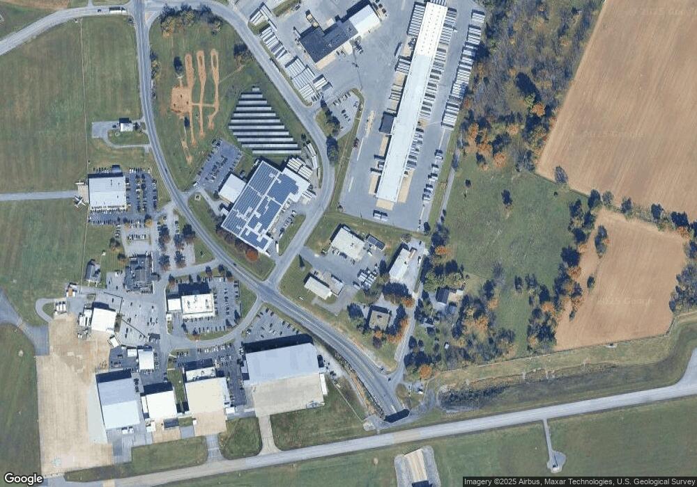
Map
Nearby Homes
- 171 East Ave
- 14108 William Talcott Ln
- 18757 Mesa Terrace
- 15444 Pennsylvania Ave
- 15621 Oak Rd
- 1171 1173 Ridgeview Dr
- 128 Hykes Rd E
- 110 Hykes Rd E
- 15480 Wedgewood Dr
- 19127 Grainary Dr
- Lot C3-2 Cedarbrook Dr
- Lot C3-1 Cedarbrook Dr
- 0 Paradise Church Rd Unit MDWA2027834
- 13818 Pulaski Dr
- 13802 Delight Dr
- 18619 Donald St
- 14016 Weaver Ave
- 13810 Pulaski Dr Unit 72
- 14732 Cedarbrook Dr
- 684 Dresden Cir
- 14505 Industry Dr
- 14515 Pennsylvania Ave
- 14511 Byers Rd
- 14554 Pennsylvania Ave
- 14548 Pennsylvania Ave
- 14516 Pennsylvania Ave
- 14556 Pennsylvania Ave
- 14568 Pennsylvania Ave
- 14563 Industry Dr
- 14606 Pennsylvania Ave
- 14559 Industry Dr
- 14612 Pennsylvania Ave
- 14616 Pennsylvania Ave
- 14615 Pennsylvania Ave
- 14621 Pennsylvania Ave
- 18606 Henson Blvd
- 14620 Pennsylvania Ave
- 14646 Byers Rd
- 14625 Pennsylvania Ave
- 14629 Pennsylvania Ave