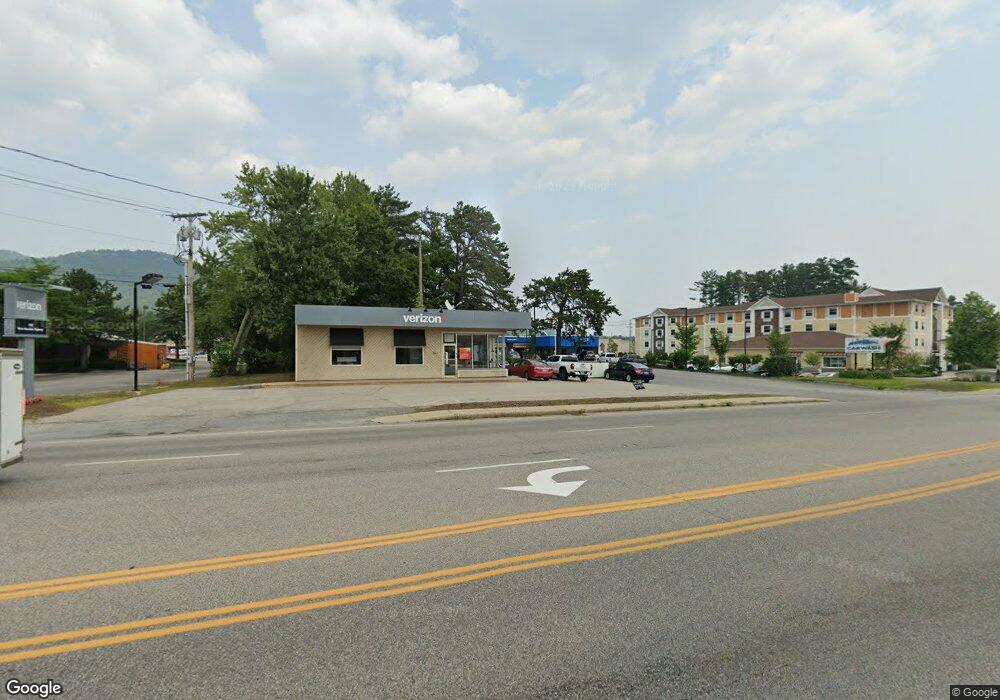
1455 White Mountain Hwy Conway, NH 03860
Estimated Value: $2,086,921
--
Bed
--
Bath
--
Sq Ft
1.1
Acres
About This Home
This home is located at 1455 White Mountain Hwy, Conway, NH 03860 and is currently estimated at $2,086,921. 1455 White Mountain Hwy is a home located in Carroll County with nearby schools including A. Crosby Kennett Middle School, Kennett High School, and Robert Frost Charter School.
Ownership History
Date
Name
Owned For
Owner Type
Purchase Details
Closed on
Oct 10, 2024
Sold by
Hydrokinetic Efx Ltd
Bought by
Clean Bubbles Llc
Current Estimated Value
Home Financials for this Owner
Home Financials are based on the most recent Mortgage that was taken out on this home.
Original Mortgage
$872,000
Outstanding Balance
$862,833
Interest Rate
6.35%
Mortgage Type
Purchase Money Mortgage
Estimated Equity
$1,224,088
Purchase Details
Closed on
Jan 12, 1993
Bought by
Hydrokinetic Efx Ltd
Create a Home Valuation Report for This Property
The Home Valuation Report is an in-depth analysis detailing your home's value as well as a comparison with similar homes in the area
Home Values in the Area
Average Home Value in this Area
Purchase History
| Date | Buyer | Sale Price | Title Company |
|---|---|---|---|
| Clean Bubbles Llc | $2,020,000 | None Available | |
| Hydrokinetic Efx Ltd | $425,000 | -- |
Source: Public Records
Mortgage History
| Date | Status | Borrower | Loan Amount |
|---|---|---|---|
| Open | Clean Bubbles Llc | $872,000 |
Source: Public Records
Tax History Compared to Growth
Tax History
| Year | Tax Paid | Tax Assessment Tax Assessment Total Assessment is a certain percentage of the fair market value that is determined by local assessors to be the total taxable value of land and additions on the property. | Land | Improvement |
|---|---|---|---|---|
| 2024 | $9,852 | $781,900 | $554,000 | $227,900 |
| 2023 | $8,961 | $781,900 | $554,000 | $227,900 |
| 2022 | $13,589 | $708,500 | $504,000 | $204,500 |
| 2021 | $11,469 | $701,900 | $504,000 | $197,900 |
| 2020 | $13,104 | $701,900 | $504,000 | $197,900 |
| 2019 | $12,157 | $701,900 | $504,000 | $197,900 |
| 2018 | $13,057 | $590,000 | $392,000 | $198,000 |
| 2017 | $11,700 | $585,600 | $392,000 | $193,600 |
| 2016 | $11,308 | $585,600 | $392,000 | $193,600 |
| 2015 | $11,179 | $585,600 | $392,000 | $193,600 |
| 2014 | $11,044 | $585,600 | $392,000 | $193,600 |
| 2013 | $10,196 | $570,900 | $377,000 | $193,900 |
Source: Public Records
Map
Nearby Homes
- 42 Wylie Ct Unit 9
- 42 Wylie Ct Unit 6
- 112 Wylie Ct
- 109 Wylie Ct
- 48 O'Keefe's Cir
- 928 Eastman Rd
- 0 Bonita's Way Unit 5
- 0 Bonita's Way Unit 20
- 301 Redstone St
- 78 B St
- 115 Amethyst Hill Rd
- 85 Amethyst Hill Rd
- 21 Brookview Rd
- 84 Northbrook Cir Unit H61
- 2058 W Side Rd
- 65 Westwind Dr
- 177 Holly Ridge Ln
- 00 White Mountain Hwy
- 319 Grandview Rd
- 28 Locust Ln
- 1465 White Mountain Hwy
- 1511 Us Rt 302
- 1205 Eastman Rd
- 1529 White Mountain Hwy
- 1529 White Mountain Hwy Unit 2
- 1529 White Mountain Hwy Unit B
- 1205 Eastman Rd
- 42 Wylie Ct Unit 8
- 70 Wylie Ct Unit 27
- 42 Wylie Ct Unit 11
- 42 Wylie Ct Unit 3
- 42 Wylie Ct Unit 1
- 42 Wylie Ct Unit 2
- 6 Wylie Ct Unit 6
- 70 Wylie Ct Unit 15
- 70 Wylie Ct Unit 18
- 42 Wylie Ct Unit 5
- 70 Wylie Ct Unit 26
- 70 Wylie Ct Unit 21
- 42 Wylie Ct Unit 13