1456 Woodrow Station Rd Frankewing, TN 38459
Estimated Value: $296,000 - $388,000
3
Beds
1
Bath
1,025
Sq Ft
$332/Sq Ft
Est. Value
About This Home
This home is located at 1456 Woodrow Station Rd, Frankewing, TN 38459 and is currently estimated at $340,456, approximately $332 per square foot. 1456 Woodrow Station Rd is a home located in Giles County with nearby schools including Unity School, Lincoln Central Academy, and Lincoln County High School.
Ownership History
Date
Name
Owned For
Owner Type
Purchase Details
Closed on
Dec 18, 2018
Sold by
Sumners Beverly and Sumners Tracy
Bought by
Summers Tracy and Summers Beverly
Current Estimated Value
Purchase Details
Closed on
Sep 8, 2017
Sold by
Clark Robert D
Bought by
Harwell Eugene and Harwell Shannon
Purchase Details
Closed on
Jun 2, 2017
Sold by
Clark Robert D
Bought by
Csx Transportation Inc
Purchase Details
Closed on
May 12, 2016
Sold by
Melton James Kenneth
Bought by
Clark Robert D
Purchase Details
Closed on
Aug 15, 2015
Sold by
Williams Charles L
Bought by
Melton James Kenneth
Purchase Details
Closed on
Jan 1, 1946
Bought by
Melton Robert
Create a Home Valuation Report for This Property
The Home Valuation Report is an in-depth analysis detailing your home's value as well as a comparison with similar homes in the area
Home Values in the Area
Average Home Value in this Area
Purchase History
| Date | Buyer | Sale Price | Title Company |
|---|---|---|---|
| Summers Tracy | -- | None Available | |
| Harwell Eugene | $152,500 | Title And Escrow | |
| Csx Transportation Inc | $3,000 | None Available | |
| Clark Robert D | $105,900 | -- | |
| Melton James Kenneth | -- | -- | |
| Melton Robert | -- | -- |
Source: Public Records
Tax History Compared to Growth
Tax History
| Year | Tax Paid | Tax Assessment Tax Assessment Total Assessment is a certain percentage of the fair market value that is determined by local assessors to be the total taxable value of land and additions on the property. | Land | Improvement |
|---|---|---|---|---|
| 2025 | $729 | $36,725 | $0 | $0 |
| 2024 | $729 | $36,725 | $13,975 | $22,750 |
| 2023 | $729 | $32,000 | $13,975 | $18,025 |
| 2022 | $636 | $32,000 | $13,975 | $18,025 |
| 2021 | $504 | $17,825 | $8,525 | $9,300 |
| 2020 | $504 | $17,825 | $8,525 | $9,300 |
| 2019 | $794 | $17,825 | $8,525 | $9,300 |
| 2018 | $794 | $17,825 | $8,525 | $9,300 |
| 2017 | $506 | $17,825 | $8,525 | $9,300 |
| 2016 | $478 | $16,100 | $6,375 | $9,725 |
| 2015 | $514 | $18,550 | $8,825 | $9,725 |
| 2014 | -- | $22,871 | $0 | $0 |
Source: Public Records
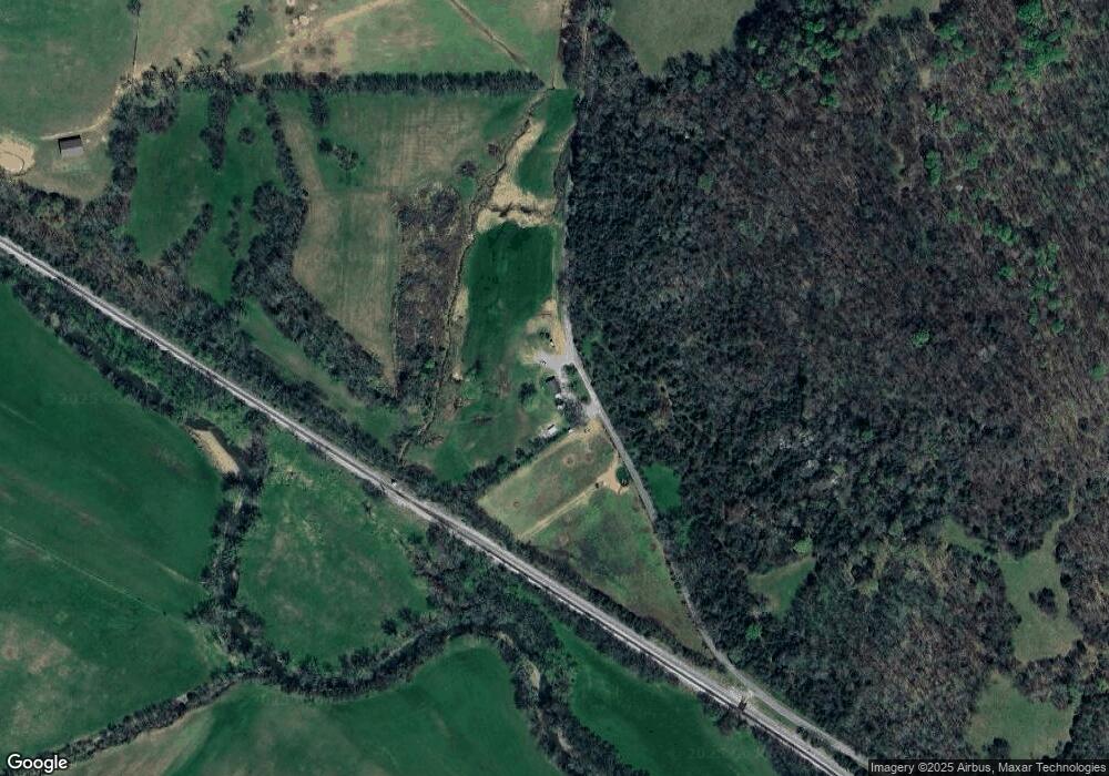
Map
Nearby Homes
- 0 U S Highway 64
- 305 Ingram Rd
- 3165 Pulaski Hwy
- 0 Cathcart Rd
- 0 Robinson Rd
- 0 McBurg Dellrose Rd Unit LotWP001 24895992
- 0 McBurg Dellrose Rd Unit LotWP001 24895993
- 0 McBurg Dellrose Rd Unit LotWP001
- 0 Interstate 65 Access Rd Unit RTC2803426
- 0 Interstate 65 Access Rd Unit RTC2803424
- 0 McBurg Dellrose Rd Tract 1
- 0 McBurg Dellrose Rd Tract 2
- 0 McBurg Dellrose Rd Tract 3
- 5A Young Rd
- 6A Young Rd
- 2979 Indian Creek Rd
- 6 Young Rd
- 1811 Indian Creek Rd
- 2994 Pulaski Hwy
- 6 Short Creek Rd