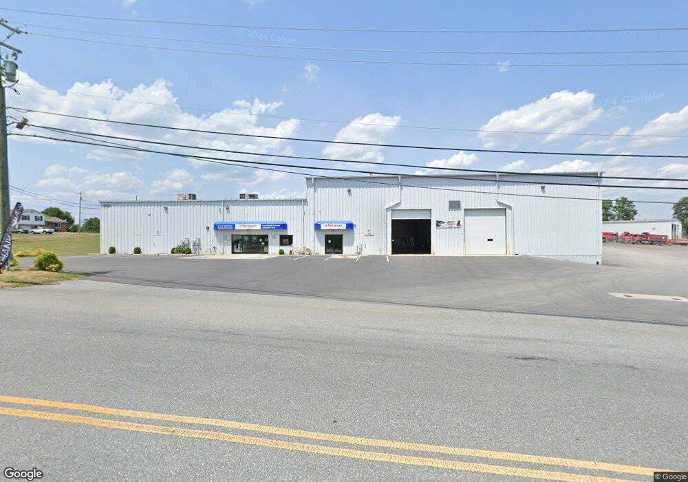
14563 Industry Dr Hagerstown, MD 21742
Estimated Value: $1,151,488
--
Bed
--
Bath
17,640
Sq Ft
$65/Sq Ft
Est. Value
About This Home
This home is located at 14563 Industry Dr, Hagerstown, MD 21742 and is currently estimated at $1,151,488, approximately $65 per square foot. 14563 Industry Dr is a home located in Washington County with nearby schools including Maugansville Elementary School, Owendale-Gagetown Junior/Senior High School, and Western Heights Middle School.
Ownership History
Date
Name
Owned For
Owner Type
Purchase Details
Closed on
Apr 29, 2013
Sold by
Indigo Real Estate Llc
Bought by
2013 Industry Drive Llc
Current Estimated Value
Purchase Details
Closed on
Sep 3, 2008
Sold by
Dim A Game Llc
Bought by
Indigo Real Estate Llc
Purchase Details
Closed on
Aug 27, 2008
Sold by
Dim A Game Llc
Bought by
Indigo Real Estate Llc
Purchase Details
Closed on
Aug 20, 2002
Sold by
Dim' A A and Dim' Game
Bought by
Dim' A & Game Llc
Create a Home Valuation Report for This Property
The Home Valuation Report is an in-depth analysis detailing your home's value as well as a comparison with similar homes in the area
Home Values in the Area
Average Home Value in this Area
Purchase History
| Date | Buyer | Sale Price | Title Company |
|---|---|---|---|
| 2013 Industry Drive Llc | $540,000 | Lincoln Title & Settlement S | |
| Indigo Real Estate Llc | $637,500 | -- | |
| Indigo Real Estate Llc | $637,500 | -- | |
| Dim' A & Game Llc | -- | -- |
Source: Public Records
Tax History Compared to Growth
Tax History
| Year | Tax Paid | Tax Assessment Tax Assessment Total Assessment is a certain percentage of the fair market value that is determined by local assessors to be the total taxable value of land and additions on the property. | Land | Improvement |
|---|---|---|---|---|
| 2025 | $7,307 | $706,200 | $0 | $0 |
| 2024 | $7,307 | $705,700 | $221,800 | $483,900 |
| 2023 | $6,848 | $705,700 | $221,800 | $483,900 |
| 2022 | $6,695 | $705,700 | $221,800 | $483,900 |
| 2021 | $6,509 | $705,700 | $221,800 | $483,900 |
| 2020 | $6,509 | $705,700 | $221,800 | $483,900 |
| 2019 | $6,381 | $705,700 | $221,800 | $483,900 |
| 2018 | $6,224 | $705,700 | $221,800 | $483,900 |
| 2017 | $6,224 | $705,700 | $0 | $0 |
| 2016 | -- | $705,700 | $0 | $0 |
| 2015 | -- | $705,700 | $0 | $0 |
| 2014 | $6,590 | $705,700 | $0 | $0 |
Source: Public Records
Map
Nearby Homes
- 171 East Ave
- 15444 Pennsylvania Ave
- 14108 William Talcott Ln
- 1171 1173 Ridgeview Dr
- 15621 Oak Rd
- 110 Hykes Rd E
- 128 Hykes Rd E
- 15480 Wedgewood Dr
- 18757 Mesa Terrace
- Lot C3-2 Cedarbrook Dr
- Lot C3-1 Cedarbrook Dr
- 684 Dresden Cir
- 14732 Cedarbrook Dr
- 14799 Cedarbrook Dr
- 14016 Weaver Ave
- 14501 Molly Pitcher Hwy
- 19127 Grainary Dr
- 0 Paradise Church Rd Unit MDWA2027834
- 18023 Alpine Dr
- 18619 Donald St
- 14559 Industry Dr
- 14612 Pennsylvania Ave
- 14615 Pennsylvania Ave
- 14606 Pennsylvania Ave
- 14616 Pennsylvania Ave
- 14621 Pennsylvania Ave
- 14620 Pennsylvania Ave
- 14625 Pennsylvania Ave
- 14626 Pennsylvania Ave
- 14629 Pennsylvania Ave
- 14556 Pennsylvania Ave
- 14568 Pennsylvania Ave
- 18606 Henson Blvd
- 14554 Pennsylvania Ave
- 14701 Pennsylvania Ave
- 809811 Pennsylvania Ave
- 132041321 Pennsylvania Ave
- 14707 Pennsylvania Ave
- 14516 Pennsylvania Ave
- 14702 Pennsylvania Ave