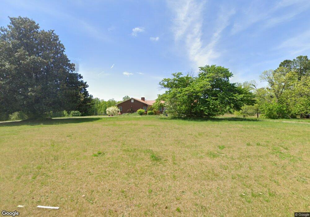
1460 Poors Ford Rd Rutherfordton, NC 28139
Estimated Value: $306,000 - $356,000
3
Beds
2
Baths
1,867
Sq Ft
$175/Sq Ft
Est. Value
About This Home
This home is located at 1460 Poors Ford Rd, Rutherfordton, NC 28139 and is currently estimated at $326,125, approximately $174 per square foot. 1460 Poors Ford Rd is a home located in Rutherford County with nearby schools including Harris Elementary School, Chase Middle School, and Chase High School.
Ownership History
Date
Name
Owned For
Owner Type
Purchase Details
Closed on
Jun 19, 2014
Sold by
Mccraw Steve and Mccraw Cynthia
Bought by
Justus Rodney M and Justus Angela L
Current Estimated Value
Home Financials for this Owner
Home Financials are based on the most recent Mortgage that was taken out on this home.
Original Mortgage
$3,446
Outstanding Balance
$2,618
Interest Rate
4.17%
Mortgage Type
Purchase Money Mortgage
Estimated Equity
$323,507
Create a Home Valuation Report for This Property
The Home Valuation Report is an in-depth analysis detailing your home's value as well as a comparison with similar homes in the area
Home Values in the Area
Average Home Value in this Area
Purchase History
| Date | Buyer | Sale Price | Title Company |
|---|---|---|---|
| Justus Rodney M | $117,000 | None Available |
Source: Public Records
Mortgage History
| Date | Status | Borrower | Loan Amount |
|---|---|---|---|
| Open | Justus Rodney M | $3,446 |
Source: Public Records
Tax History Compared to Growth
Tax History
| Year | Tax Paid | Tax Assessment Tax Assessment Total Assessment is a certain percentage of the fair market value that is determined by local assessors to be the total taxable value of land and additions on the property. | Land | Improvement |
|---|---|---|---|---|
| 2025 | $1,410 | $220,100 | $25,400 | $194,700 |
| 2024 | $1,342 | $220,100 | $25,400 | $194,700 |
| 2023 | $1,093 | $220,100 | $25,400 | $194,700 |
| 2022 | $1,093 | $138,600 | $25,400 | $113,200 |
| 2021 | $1,039 | $133,300 | $25,400 | $107,900 |
| 2020 | $1,026 | $133,300 | $25,400 | $107,900 |
| 2019 | $1,018 | $133,300 | $25,400 | $107,900 |
| 2018 | $838 | $106,000 | $25,500 | $80,500 |
| 2016 | $726 | $106,000 | $25,500 | $80,500 |
| 2013 | -- | $95,700 | $25,700 | $70,000 |
Source: Public Records
Map
Nearby Homes
- 1349 Us 221 Hwy S
- 1260 US 221 Hwy S
- 732 Crowe Dairy Rd
- 847 Crowe Dairy Rd
- 2311 Poors Ford Rd
- Lot #69 Cleghorn Mill Rd
- Lot 2 Cleghorn Mill Rd
- Lot 7 Cleghorn Mill Rd
- Lot 3 Cleghorn Mill Rd
- Lot 1 Cleghorn Mill Rd
- Lot #6 Cleghorn Mill Rd
- 0 Holly Forest Dr
- 139 Holly Forest Dr
- 617 Us 221 Hwy S
- 188 Debby Ln
- 000 Moss Dr
- 0 Moss Dr Unit CAR4221345
- Lot #38 Moss Dr
- Lot #49 Moss Dr
- 0 Moss Dr Unit 39 CAR3724319
- 802 Long Branch Rd
- 1491 Poors Ford Rd
- 142 Sunset Dr
- 1380 Poors Ford Rd
- 154 Sunset Dr
- 769 Long Branch Rd
- 164 Sunset Dr
- 1527 Poors Ford Rd
- 757 Long Branch Rd
- 1378 Poors Ford Rd
- 127 Sunset Dr
- 141 Sunset Dr
- 180 Sunset Dr
- 745 Long Branch Rd
- 161 Sunset Dr
- 1545 Poors Ford Rd
- 171 Sunset Dr
- 200 Allen Loop Rd
- 111 Baber Rd
- 240 Allen Loop Rd