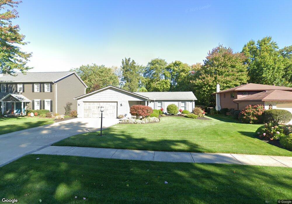
14612 Trenton Ave Strongsville, OH 44136
Estimated Value: $389,214 - $440,000
4
Beds
3
Baths
2,391
Sq Ft
$173/Sq Ft
Est. Value
About This Home
This home is located at 14612 Trenton Ave, Strongsville, OH 44136 and is currently estimated at $413,804, approximately $173 per square foot. 14612 Trenton Ave is a home located in Cuyahoga County with nearby schools including Strongsville High School, Saint Ambrose Catholic School, and Royal Redeemer Lutheran School.
Ownership History
Date
Name
Owned For
Owner Type
Purchase Details
Closed on
Dec 31, 2008
Sold by
Mihalko Kathryn L
Bought by
Mihalko Kathryn L
Current Estimated Value
Purchase Details
Closed on
Mar 17, 2001
Sold by
Mihalko Betty L and Mihalko Betty Eleanor
Bought by
Mihalko Betty Louise and The Mihalko Family Trust
Purchase Details
Closed on
Feb 28, 1994
Sold by
Mihalko Andrew S
Bought by
Mihalko Betty L
Purchase Details
Closed on
Aug 5, 1980
Bought by
Mihalko Andrew S
Purchase Details
Closed on
Nov 8, 1978
Sold by
Pate William B
Bought by
Robert Avery Co
Purchase Details
Closed on
Jan 1, 1977
Bought by
Past Dev Co
Create a Home Valuation Report for This Property
The Home Valuation Report is an in-depth analysis detailing your home's value as well as a comparison with similar homes in the area
Home Values in the Area
Average Home Value in this Area
Purchase History
| Date | Buyer | Sale Price | Title Company |
|---|---|---|---|
| Mihalko Kathryn L | -- | None Available | |
| Mihalko Betty Louise | -- | -- | |
| Mihalko Betty L | -- | -- | |
| Mihalko Andrew S | $21,000 | -- | |
| Robert Avery Co | -- | -- | |
| Pate William B | -- | -- | |
| Past Dev Co | -- | -- |
Source: Public Records
Tax History Compared to Growth
Tax History
| Year | Tax Paid | Tax Assessment Tax Assessment Total Assessment is a certain percentage of the fair market value that is determined by local assessors to be the total taxable value of land and additions on the property. | Land | Improvement |
|---|---|---|---|---|
| 2024 | $5,756 | $119,735 | $21,105 | $98,630 |
| 2023 | $5,844 | $91,360 | $20,760 | $70,600 |
| 2022 | $5,803 | $91,350 | $20,760 | $70,600 |
| 2021 | $5,762 | $91,350 | $20,760 | $70,600 |
| 2020 | $5,337 | $74,870 | $17,010 | $57,860 |
| 2019 | $5,184 | $213,900 | $48,600 | $165,300 |
| 2018 | $4,716 | $74,870 | $17,010 | $57,860 |
| 2017 | $4,754 | $69,870 | $12,290 | $57,580 |
| 2016 | $4,716 | $69,870 | $12,290 | $57,580 |
| 2015 | $4,784 | $69,870 | $12,290 | $57,580 |
| 2014 | $4,784 | $69,870 | $12,290 | $57,580 |
Source: Public Records
Map
Nearby Homes
- 14985 Camden Cir
- 18987 Laurell Cir
- 19813 Cross Trail S
- 15188 Trails Landing
- 19694 Benbow Rd
- 19740 Benbow Rd
- 3137 Blackburn Ln
- 19252 Hidden Woods Ln
- 15604-REAR Boston Rd
- 106 Briarleigh Dr
- 15772 Boston Rd
- 14132 Walking Stick Way
- 13448 Compass Point Dr
- 13335 Tradewinds Dr
- 18229 Howe Rd
- 14558 Drake Rd
- 3550 Boston Rd
- 266 Bettie Ln
- 97 Weathervane Ln
- 17130 Golden Star Dr
- 14580 Trenton Ave
- 14644 Trenton Ave
- 14548 Trenton Ave
- 14603 Trenton Ave
- 19260 Dorchester Cir
- 14635 Trenton Ave
- 14516 Trenton Ave
- 14571 Trenton Ave
- 19311 Julie Cir
- 19353 Julie Cir
- 14667 Trenton Ave
- 19238 Dorchester Cir
- 19257 Dorchester Cir
- 14539 Trenton Ave
- 19269 Julie Cir
- 14699 Trenton Ave
- 14484 Trenton Ave
- 19206 Dorchester Cir
- 14731 Trenton Ave
- 14548 Hartford Trail