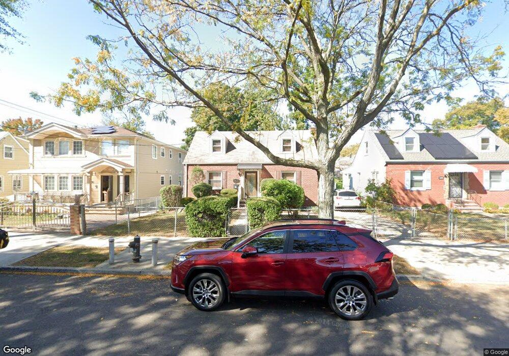
14614 243rd St Rosedale, NY 11422
Rosedale NeighborhoodEstimated Value: $726,409 - $859,000
--
Bed
--
Bath
1,062
Sq Ft
$764/Sq Ft
Est. Value
About This Home
This home is located at 14614 243rd St, Rosedale, NY 11422 and is currently estimated at $811,602, approximately $764 per square foot. 14614 243rd St is a home located in Queens County with nearby schools including P.S. / M.S. 138 Sunrise, Collaborative Arts Middle School, and Success Academy Charter School - Rosedale.
Ownership History
Date
Name
Owned For
Owner Type
Purchase Details
Closed on
Oct 11, 2007
Sold by
Woods George P
Bought by
Woods George P
Current Estimated Value
Home Financials for this Owner
Home Financials are based on the most recent Mortgage that was taken out on this home.
Original Mortgage
$464,000
Outstanding Balance
$291,051
Interest Rate
6.39%
Mortgage Type
Purchase Money Mortgage
Estimated Equity
$520,551
Create a Home Valuation Report for This Property
The Home Valuation Report is an in-depth analysis detailing your home's value as well as a comparison with similar homes in the area
Home Values in the Area
Average Home Value in this Area
Purchase History
| Date | Buyer | Sale Price | Title Company |
|---|---|---|---|
| Woods George P | $580,000 | -- | |
| Woods George P | $580,000 | -- |
Source: Public Records
Mortgage History
| Date | Status | Borrower | Loan Amount |
|---|---|---|---|
| Open | Woods George P | $464,000 | |
| Closed | Woods George P | $464,000 |
Source: Public Records
Tax History Compared to Growth
Tax History
| Year | Tax Paid | Tax Assessment Tax Assessment Total Assessment is a certain percentage of the fair market value that is determined by local assessors to be the total taxable value of land and additions on the property. | Land | Improvement |
|---|---|---|---|---|
| 2025 | $6,052 | $31,937 | $8,066 | $23,871 |
| 2024 | $6,052 | $30,130 | $8,081 | $22,049 |
| 2023 | $5,709 | $28,426 | $7,720 | $20,706 |
| 2022 | $5,675 | $36,360 | $10,380 | $25,980 |
| 2021 | $5,873 | $30,120 | $10,380 | $19,740 |
| 2020 | $5,633 | $31,680 | $10,380 | $21,300 |
| 2019 | $5,252 | $33,540 | $10,380 | $23,160 |
| 2018 | $4,829 | $23,688 | $9,127 | $14,561 |
| 2017 | $4,829 | $23,688 | $8,067 | $15,621 |
| 2016 | $4,649 | $23,688 | $8,067 | $15,621 |
| 2015 | $2,769 | $22,179 | $8,517 | $13,662 |
| 2014 | $2,769 | $20,924 | $8,035 | $12,889 |
Source: Public Records
Map
Nearby Homes
- 146-15 243rd St
- 241-08 Newhall Ave
- 24111 Newhall Ave
- 24533 147th Rd
- 14632 Huxley St
- 24027 Newhall Ave
- 24026 Mayda Rd
- 24519 147th Dr
- 245-39 147th Dr
- 138-28 242 Street 242 St
- 26 240th St
- 23915 147th Rd
- 241-23 148th Ave
- 25311 147th Rd
- 241-12 148th Ave
- 24112 148th Ave
- 253-22 147th Ave
- 25301 148th Ave
- 24111 Weller Ave
- 25340 147th Ave
- 146-18 243rd St
- 14618 243rd St
- 14608 243rd St
- 14622 243rd St
- 24130 Newhall Ave
- 24136 Newhall Ave
- 14673 Huxley St
- 241-26 Newhall Ave
- 14669 Huxley St
- 24126 Newhall Ave
- 14626 243rd St
- 14665 Huxley St
- 14663 Huxley St
- 14615 243rd St
- 146-65 Huxley St
- 14621 243rd St
- 14609 243rd St
- 24120 Newhall Ave
- 146-09 243rd St
- 241-20 Newhall Ave Unit 1