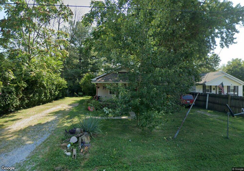
14620 N Maysville Ln Mount Vernon, IL 62864
Estimated Value: $63,102 - $206,000
--
Bed
--
Bath
--
Sq Ft
0.28
Acres
About This Home
This home is located at 14620 N Maysville Ln, Mount Vernon, IL 62864 and is currently estimated at $125,526. 14620 N Maysville Ln is a home located in Jefferson County with nearby schools including Field Elementary School, Mount Vernon High School, and St Marys.
Ownership History
Date
Name
Owned For
Owner Type
Purchase Details
Closed on
Nov 21, 2006
Sold by
Karch Michael D and Karch Nancy D
Bought by
Garrison Michael A
Current Estimated Value
Home Financials for this Owner
Home Financials are based on the most recent Mortgage that was taken out on this home.
Original Mortgage
$47,200
Outstanding Balance
$28,232
Interest Rate
6.41%
Mortgage Type
Purchase Money Mortgage
Estimated Equity
$97,294
Purchase Details
Closed on
Jan 19, 2006
Sold by
Tate David Lee and Tate Lois
Bought by
Karch Michael D and Karch Nancy D
Home Financials for this Owner
Home Financials are based on the most recent Mortgage that was taken out on this home.
Original Mortgage
$26,200
Interest Rate
6.42%
Mortgage Type
Purchase Money Mortgage
Create a Home Valuation Report for This Property
The Home Valuation Report is an in-depth analysis detailing your home's value as well as a comparison with similar homes in the area
Home Values in the Area
Average Home Value in this Area
Purchase History
| Date | Buyer | Sale Price | Title Company |
|---|---|---|---|
| Garrison Michael A | $61,000 | None Available | |
| Karch Michael D | $14,000 | None Available |
Source: Public Records
Mortgage History
| Date | Status | Borrower | Loan Amount |
|---|---|---|---|
| Open | Garrison Michael A | $47,200 | |
| Previous Owner | Karch Michael D | $26,200 |
Source: Public Records
Tax History Compared to Growth
Tax History
| Year | Tax Paid | Tax Assessment Tax Assessment Total Assessment is a certain percentage of the fair market value that is determined by local assessors to be the total taxable value of land and additions on the property. | Land | Improvement |
|---|---|---|---|---|
| 2024 | $664 | $15,655 | $2,971 | $12,684 |
| 2023 | $595 | $14,453 | $2,743 | $11,710 |
| 2022 | $544 | $12,678 | $2,406 | $10,272 |
| 2021 | $499 | $12,074 | $2,291 | $9,783 |
| 2020 | $487 | $11,284 | $2,141 | $9,143 |
| 2019 | $483 | $11,284 | $2,141 | $9,143 |
| 2018 | $473 | $11,284 | $2,141 | $9,143 |
| 2017 | $462 | $11,284 | $2,141 | $9,143 |
| 2016 | $442 | $11,284 | $2,141 | $9,143 |
| 2015 | $434 | $11,284 | $2,141 | $9,143 |
| 2014 | $378 | $11,284 | $2,141 | $9,143 |
| 2013 | $378 | $10,645 | $2,020 | $8,625 |
Source: Public Records
Map
Nearby Homes
- 0000 N Maysville Ln
- 16530 E Fairfield Rd
- 16514 E Fairfield Rd
- 000 N Clear Ln
- 475 N Dartmouth Ln
- TBD Birdie Dr
- 17794 E Fairfield Rd
- 14322 N Memory Ln
- 16807 E Kendall Rd
- 18562 E Hill St
- 601 Marteeny St
- 415 Marteeny St
- 909 & 905 Fairfield Rd
- 14768 N Harmony Ln
- 820 White Ave
- 14063 N Link Ln
- 14560 E Loyola Rd
- 820 Airport Rd
- 717 White Ave
- 19413 Illinois 15
- 14610 N Maysville Ln
- 14590 N Maysville Ln
- 14645 N Maysville Ln
- 16759 E Fairfield Rd
- 14546 N Maysville Ln
- 16735 E Fairfield Rd
- 16659 E Fairfield Rd
- 14508 N Maysville Ln
- 16730 E Fairfield Rd
- 16658 E Fairfield Rd
- 16835 E Fairfield Rd
- 3820 E Fairfield Rd
- 16626 E Fairfield Rd
- 16626 E Fairfield Rd
- 16800 E Fairfield Rd
- 16610 E Fairfield Rd
- 16790 E Fairfield Rd
- 16558 E Sheila Rd
- 3818 E Fairfield Rd
- 16836 E Fairfield Rd