14625 Citicorp Dr Hagerstown, MD 21742
Estimated Value: $7,259,762
--
Bed
--
Bath
135,184
Sq Ft
$54/Sq Ft
Est. Value
About This Home
This home is located at 14625 Citicorp Dr, Hagerstown, MD 21742 and is currently estimated at $7,259,762, approximately $53 per square foot. 14625 Citicorp Dr is a home located in Washington County with nearby schools including Maugansville Elementary School, Owendale-Gagetown Junior/Senior High School, and Western Heights Middle School.
Ownership History
Date
Name
Owned For
Owner Type
Purchase Details
Closed on
Jun 5, 2023
Sold by
Crec Hagerstown Owner Llc
Bought by
Bse Stateline Llc
Current Estimated Value
Purchase Details
Closed on
Dec 23, 2020
Sold by
Zarro Kaitlin R
Bought by
Crec Hagerstown Owner Llc
Purchase Details
Closed on
Dec 20, 2002
Sold by
Bank State Street & Trust Co
Bought by
254 Hagestown Llc
Purchase Details
Closed on
Dec 14, 1999
Sold by
Citicorp Credit Services Inc
Bought by
Bank State Street & Trust Co
Create a Home Valuation Report for This Property
The Home Valuation Report is an in-depth analysis detailing your home's value as well as a comparison with similar homes in the area
Home Values in the Area
Average Home Value in this Area
Purchase History
| Date | Buyer | Sale Price | Title Company |
|---|---|---|---|
| Bse Stateline Llc | $6,500,000 | None Listed On Document | |
| Bse Stateline Llc | $6,500,000 | None Listed On Document | |
| Crec Hagerstown Owner Llc | $8,000,000 | Chicago Title Insurance Co | |
| 254 Hagestown Llc | $64,444,690 | -- | |
| Bank State Street & Trust Co | $55,000,000 | -- |
Source: Public Records
Tax History Compared to Growth
Tax History
| Year | Tax Paid | Tax Assessment Tax Assessment Total Assessment is a certain percentage of the fair market value that is determined by local assessors to be the total taxable value of land and additions on the property. | Land | Improvement |
|---|---|---|---|---|
| 2025 | $67,357 | $8,339,533 | $0 | $0 |
| 2024 | $67,357 | $6,505,667 | $0 | $0 |
| 2023 | $374,403 | $36,161,600 | $15,295,000 | $20,866,600 |
| 2022 | $374,403 | $36,161,600 | $15,295,000 | $20,866,600 |
| 2021 | $383,313 | $36,161,600 | $15,295,000 | $20,866,600 |
| 2020 | $426,217 | $40,389,800 | $15,295,000 | $25,094,800 |
| 2019 | $426,755 | $40,259,867 | $0 | $0 |
| 2018 | $484,800 | $40,129,933 | $0 | $0 |
| 2017 | $424,000 | $40,000,000 | $0 | $0 |
| 2016 | -- | $40,000,000 | $0 | $0 |
| 2015 | -- | $46,915,800 | $0 | $0 |
| 2014 | $692,910 | $47,573,100 | $0 | $0 |
Source: Public Records
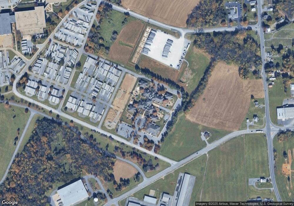
Map
Nearby Homes
- 171 East Ave
- 15444 Pennsylvania Ave
- 14108 William Talcott Ln
- 15480 Wedgewood Dr
- 110 Hykes Rd E
- 128 Hykes Rd E
- 1171 1173 Ridgeview Dr
- 15621 Oak Rd
- 684 Dresden Cir
- 18757 Mesa Terrace
- Lot C3-2 Cedarbrook Dr
- Lot C3-1 Cedarbrook Dr
- 14016 Weaver Ave
- 14732 Cedarbrook Dr
- 14799 Cedarbrook Dr
- 14222 Shelby Cir
- 14220 Shelby Cir
- 18023 Alpine Dr
- 18323 Roy Croft Dr
- 14501 Molly Pitcher Hwy
- 18606 Henson Blvd
- 18519 Henson Blvd
- 18512 Henson Blvd
- 18516 Henson Blvd
- 14606 Pennsylvania Ave
- 14612 Pennsylvania Ave
- 14616 Pennsylvania Ave
- 14735 Citicorp Dr
- 14626 Pennsylvania Ave
- 14620 Pennsylvania Ave
- 14568 Pennsylvania Ave
- 14556 Pennsylvania Ave
- 14615 Pennsylvania Ave
- 14563 Industry Dr
- 14625 Pennsylvania Ave
- 14516 Pennsylvania Ave
- 14621 Pennsylvania Ave
- 18544 Breeze Hill Dr
- 14554 Pennsylvania Ave
- 14559 Industry Dr