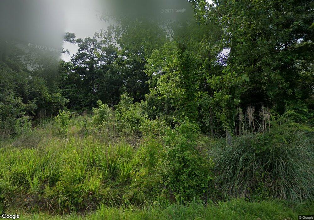
1464 Misty Cir Gilbert, SC 29054
Estimated Value: $32,344 - $208,000
--
Bed
--
Bath
--
Sq Ft
9,583
Sq Ft Lot
About This Home
This home is located at 1464 Misty Cir, Gilbert, SC 29054 and is currently estimated at $145,586. 1464 Misty Cir is a home located in Lexington County with nearby schools including Centerville Elementary School, Gilbert Primary School, and Gilbert Middle School.
Ownership History
Date
Name
Owned For
Owner Type
Purchase Details
Closed on
Aug 9, 2023
Sold by
Woodward Keith D
Bought by
Moore Peter M and Moore Lara F
Current Estimated Value
Purchase Details
Closed on
Apr 5, 2004
Sold by
Rawl Dial P
Bought by
Woodward Keith D
Purchase Details
Closed on
Mar 12, 1999
Sold by
Rawl Dial P
Bought by
Keisler Clyde L
Purchase Details
Closed on
Feb 26, 1999
Sold by
Rawl Dial P
Bought by
Shumpert Darrell W
Purchase Details
Closed on
Feb 5, 1999
Sold by
Rawl Dial P
Bought by
Smith Marvin H
Purchase Details
Closed on
May 26, 1998
Sold by
Rawl Dial P
Bought by
Franklin Arthur
Create a Home Valuation Report for This Property
The Home Valuation Report is an in-depth analysis detailing your home's value as well as a comparison with similar homes in the area
Home Values in the Area
Average Home Value in this Area
Purchase History
| Date | Buyer | Sale Price | Title Company |
|---|---|---|---|
| Moore Peter M | -- | None Listed On Document | |
| Woodward Keith D | $3,000 | -- | |
| Keisler Clyde L | $14,600 | -- | |
| Shumpert Darrell W | $28,000 | -- | |
| Smith Marvin H | $8,000 | -- | |
| Franklin Arthur | $8,000 | -- |
Source: Public Records
Tax History Compared to Growth
Tax History
| Year | Tax Paid | Tax Assessment Tax Assessment Total Assessment is a certain percentage of the fair market value that is determined by local assessors to be the total taxable value of land and additions on the property. | Land | Improvement |
|---|---|---|---|---|
| 2024 | $893 | $1,800 | $1,800 | $0 |
| 2023 | $893 | $576 | $576 | $0 |
| 2022 | $277 | $576 | $576 | $0 |
| 2020 | $306 | $576 | $576 | $0 |
| 2019 | $288 | $576 | $576 | $0 |
| 2018 | $286 | $576 | $576 | $0 |
| 2017 | $281 | $576 | $576 | $0 |
| 2016 | $272 | $576 | $576 | $0 |
| 2014 | $235 | $541 | $541 | $0 |
| 2013 | -- | $540 | $540 | $0 |
Source: Public Records
Map
Nearby Homes
- 0 Misty Cir Unit 566318
- 1620 Deep Cove Ln
- 1324 Martins Camp Ln
- 870 Shore Rd
- 1366 Camping Rd
- 1331 Camping Rd
- 1305 Rock Island Rd
- 839 Foxden Rd
- 113 Shull Fork Ct
- 157 Blue Wing Dr
- 153 Pintail Lake Dr
- 102 Hideaway Cove Ct
- 1148 Shull Island Rd
- 1223 Shull Island Rd
- 523 Radnor Hunt Ct
- 501 Canasta Dr
- 307 Kimberton Dr
- 110 Wood Duck Dr
- 274 Pintail Lake Dr
- 255 Pintail Lake Dr
