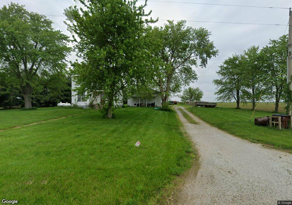
1469 E 1500 Rd N Taylorville, IL 62568
Estimated Value: $155,000 - $230,000
2
Beds
2
Baths
1,200
Sq Ft
$167/Sq Ft
Est. Value
About This Home
This home is located at 1469 E 1500 Rd N, Taylorville, IL 62568 and is currently estimated at $199,881, approximately $166 per square foot. 1469 E 1500 Rd N is a home located in Christian County with nearby schools including Stonington Elementary School, Taylorville Junior High School, and Taylorville Senior High School.
Ownership History
Date
Name
Owned For
Owner Type
Purchase Details
Closed on
Dec 4, 2008
Sold by
Secretary Of Veterans Affairs
Bought by
Burman Ryan
Current Estimated Value
Home Financials for this Owner
Home Financials are based on the most recent Mortgage that was taken out on this home.
Original Mortgage
$37,600
Interest Rate
5.03%
Mortgage Type
New Conventional
Purchase Details
Closed on
Oct 9, 2008
Sold by
Roth Eric L and Countrywide Home Loans Inc
Bought by
Secretary Of Veterans Affairs
Home Financials for this Owner
Home Financials are based on the most recent Mortgage that was taken out on this home.
Original Mortgage
$37,600
Interest Rate
5.03%
Mortgage Type
New Conventional
Create a Home Valuation Report for This Property
The Home Valuation Report is an in-depth analysis detailing your home's value as well as a comparison with similar homes in the area
Home Values in the Area
Average Home Value in this Area
Purchase History
| Date | Buyer | Sale Price | Title Company |
|---|---|---|---|
| Burman Ryan | -- | None Available | |
| Secretary Of Veterans Affairs | -- | None Available |
Source: Public Records
Mortgage History
| Date | Status | Borrower | Loan Amount |
|---|---|---|---|
| Previous Owner | Burman Ryan | $37,600 |
Source: Public Records
Tax History Compared to Growth
Tax History
| Year | Tax Paid | Tax Assessment Tax Assessment Total Assessment is a certain percentage of the fair market value that is determined by local assessors to be the total taxable value of land and additions on the property. | Land | Improvement |
|---|---|---|---|---|
| 2024 | $2,850 | $52,787 | $8,207 | $44,580 |
| 2023 | $2,639 | $48,357 | $7,518 | $40,839 |
| 2022 | $2,525 | $44,908 | $6,982 | $37,926 |
| 2021 | $2,390 | $43,180 | $6,713 | $36,467 |
| 2020 | $2,408 | $43,417 | $6,832 | $36,585 |
| 2019 | $1,807 | $44,604 | $7,019 | $37,585 |
| 2018 | $1,746 | $42,749 | $6,727 | $36,022 |
| 2017 | $1,700 | $41,670 | $6,557 | $35,113 |
| 2016 | $1,449 | $40,748 | $6,387 | $34,361 |
| 2015 | $1,463 | $31,323 | $6,340 | $24,983 |
| 2014 | $1,439 | $30,664 | $6,207 | $24,457 |
| 2013 | $1,430 | $30,664 | $6,207 | $24,457 |
| 2011 | $1,496 | $31,933 | $6,080 | $25,853 |
Source: Public Records
Map
Nearby Homes
- 703 Glenhill Rd
- 3415 Lincoln Trail
- 0 N 1400 Rd E
- 1918 Greenview
- 910 E Heights Ave
- 810 N Snodgrass St
- 117 S Pershing Ave
- 0 Illinois 29
- 1015 E Elm St
- 1221 E Park St
- 513 E Oak St
- 100 E Heights Ave Unit 9
- 1010 E Adams St
- 14 Brantley Ct
- 516 N Pawnee St
- 7 Brantley Ct
- 306 E Poplar St
- 507 E Market St
- 3418 Kennedy Rd
- 1246 N Lawrence Ave
- 1469 E 1500 North Rd
- 1515 N 1500 East Rd
- 700 Old Oak Rd
- 620 N Leland Ln
- 640 Old Oak Rd
- 610 N Leland Ln
- 601 N Leland Ln
- 630 Old Oak Rd
- 503 N Leland Ln
- 1546 N 1400 East Rd
- 622 Old Oak Rd
- 1405 E 1550 Rd N
- 500 N Leland Ln
- 1405 E 1550 North Rd
- 1531 E 1550 North Rd
- 415 N Leland Ln
- 614 Old Oak Rd
- 0 N Leland Ln
- 524 Old Oak Rd
- 512 Old Oak Rd