14723 Oyster Rd Alliance, OH 44601
Estimated Value: $300,178 - $518,000
3
Beds
2
Baths
2,088
Sq Ft
$171/Sq Ft
Est. Value
About This Home
This home is located at 14723 Oyster Rd, Alliance, OH 44601 and is currently estimated at $357,045, approximately $170 per square foot. 14723 Oyster Rd is a home located in Mahoning County with nearby schools including Alliance Elementary School at Rockhill, Alliance Intermediate School at Northside, and Alliance Middle School.
Ownership History
Date
Name
Owned For
Owner Type
Purchase Details
Closed on
Apr 25, 2016
Sold by
Keane Marjorie A
Bought by
Keane Jeffrey L
Current Estimated Value
Purchase Details
Closed on
Aug 5, 1993
Bought by
Keane Jeff
Create a Home Valuation Report for This Property
The Home Valuation Report is an in-depth analysis detailing your home's value as well as a comparison with similar homes in the area
Home Values in the Area
Average Home Value in this Area
Purchase History
| Date | Buyer | Sale Price | Title Company |
|---|---|---|---|
| Keane Jeffrey L | -- | Attorney | |
| Keane Jeff | $16,000 | -- |
Source: Public Records
Tax History Compared to Growth
Tax History
| Year | Tax Paid | Tax Assessment Tax Assessment Total Assessment is a certain percentage of the fair market value that is determined by local assessors to be the total taxable value of land and additions on the property. | Land | Improvement |
|---|---|---|---|---|
| 2024 | $3,246 | $80,160 | $5,630 | $74,530 |
| 2023 | $3,377 | $80,160 | $5,630 | $74,530 |
| 2022 | $2,812 | $64,340 | $4,610 | $59,730 |
| 2021 | $2,814 | $64,340 | $4,610 | $59,730 |
| 2020 | $2,922 | $64,340 | $4,610 | $59,730 |
| 2019 | $2,643 | $56,550 | $4,610 | $51,940 |
| 2018 | $3,034 | $56,550 | $4,610 | $51,940 |
| 2017 | $2,887 | $56,550 | $4,610 | $51,940 |
| 2016 | $2,753 | $53,690 | $4,960 | $48,730 |
| 2015 | $2,705 | $53,690 | $4,960 | $48,730 |
| 2014 | $2,808 | $53,690 | $4,960 | $48,730 |
| 2013 | $2,777 | $53,690 | $4,960 | $48,730 |
Source: Public Records
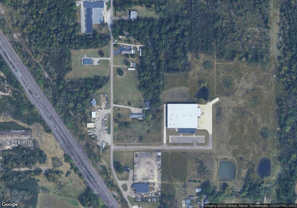
Map
Nearby Homes
- 22841 Lake Park Blvd
- 1233 Woodland Ave
- 834 Devine St
- 815 Grace St
- 729 Waugh St
- 831 Wade Ave
- 814 Milner St
- 1044 S Liberty Ave
- 853 Fairway Dr
- 1846 S Freedom Ave
- 2376 S Seneca Ave
- 2218 S Freedom Ave
- 390 E College St
- 1437 S Linden Ave
- 1005 S Freedom Ave
- 317 E State St
- 2408 S Linden Ave
- 442 S Liberty Ave
- 555 E Milton St
- 452 E Summit St
- 14763 Oyster Rd
- 14771 Oyster Rd
- 14575 Oyster Rd
- 14571 Oyster Rd
- 14565 Oyster Rd
- 22258 Harrisburg Westville Rd
- 22188 Alliance Sebring Rd
- 22250 Harrisburg Westville Rd
- 22238 Harrisburg Westville Rd
- 22345 Cover St
- 22216 Harrisburg Westville Rd
- 22329 State Route 62
- 14400 Oyster Rd
- 22343 State Route 62
- 22198 Youngstown Salem Rd
- 22309 State Route 62
- 22184 Harrisburg Westville Rd
- 22625 State Route 62
- 22372 Cover St
- 22285 U S 62