14737 State Highway 181 Fairhope, AL 36532
Estimated Value: $363,000 - $441,616
2
Beds
2
Baths
960
Sq Ft
$417/Sq Ft
Est. Value
About This Home
This home is located at 14737 State Highway 181, Fairhope, AL 36532 and is currently estimated at $400,539, approximately $417 per square foot. 14737 State Highway 181 is a home located in Baldwin County with nearby schools including J. Larry Newton School, Fairhope Middle School, and Fairhope High School.
Ownership History
Date
Name
Owned For
Owner Type
Purchase Details
Closed on
Mar 8, 2005
Sold by
Guinn John Philip and Guinn Kristy H
Bought by
Kendrick Charles M
Current Estimated Value
Home Financials for this Owner
Home Financials are based on the most recent Mortgage that was taken out on this home.
Original Mortgage
$149,600
Outstanding Balance
$75,793
Interest Rate
5.6%
Mortgage Type
New Conventional
Estimated Equity
$324,746
Create a Home Valuation Report for This Property
The Home Valuation Report is an in-depth analysis detailing your home's value as well as a comparison with similar homes in the area
Home Values in the Area
Average Home Value in this Area
Purchase History
| Date | Buyer | Sale Price | Title Company |
|---|---|---|---|
| Kendrick Charles M | -- | None Available |
Source: Public Records
Mortgage History
| Date | Status | Borrower | Loan Amount |
|---|---|---|---|
| Open | Kendrick Charles M | $149,600 |
Source: Public Records
Tax History Compared to Growth
Tax History
| Year | Tax Paid | Tax Assessment Tax Assessment Total Assessment is a certain percentage of the fair market value that is determined by local assessors to be the total taxable value of land and additions on the property. | Land | Improvement |
|---|---|---|---|---|
| 2024 | $980 | $40,360 | $29,040 | $11,320 |
| 2023 | $834 | $34,640 | $24,260 | $10,380 |
| 2022 | $681 | $28,580 | $0 | $0 |
| 2021 | $616 | $25,200 | $0 | $0 |
| 2020 | $606 | $25,500 | $0 | $0 |
| 2019 | $410 | $19,940 | $0 | $0 |
| 2018 | $399 | $19,420 | $0 | $0 |
| 2017 | $386 | $18,840 | $0 | $0 |
| 2016 | $389 | $18,960 | $0 | $0 |
| 2015 | $388 | $18,920 | $0 | $0 |
| 2014 | $381 | $18,600 | $0 | $0 |
| 2013 | -- | $17,160 | $0 | $0 |
Source: Public Records
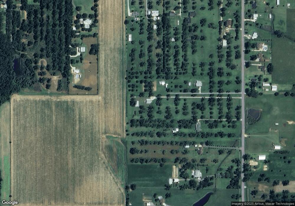
Map
Nearby Homes
- 9501 County Road 24
- 14905 Frego Ln
- 14606 County Road 13
- CALI Plan at Laurelbrooke
- The Ryder Plan at Laurelbrooke
- KELLY Plan at Laurelbrooke
- LAKESIDE Plan at Laurelbrooke
- 15965 Laurelbrooke Loop
- 10773 County Road 24
- 16277 Laurelbrooke Loop
- 16022 Laurelbrooke Loop
- 16039 Laurelbrooke Loop
- 16051 Laurelbrooke Loop
- 16030 Laurelbrooke Loop
- 16042 Laurelbrooke Loop
- 16075 Laurelbrooke Loop
- 16054 Laurelbrooke Loop
- 16087 Laurelbrooke Loop
- 16099 Laurelbrooke Loop
- 8728 Zippers Trail
- 14757 State Highway 181
- 14673 State Highway 181
- 9816 County Road 24 Unit C
- 9816 County Road 24
- 9618 County Road 24
- 14585 State Highway 181
- 9750 County Road 24
- 14545 State Highway 181
- 9850 County Road 24
- 9870 County Road 24
- 14561 State Highway 181
- 14435 State Highway 181
- 14435 State Highway 181
- 14776 State Highway 181
- 14947 State Highway 181
- 14810 State Highway 181
- 14624 State Highway 181
- 9775 County Road 24
- 14816 State Highway 181
- 14624 State Highway 181