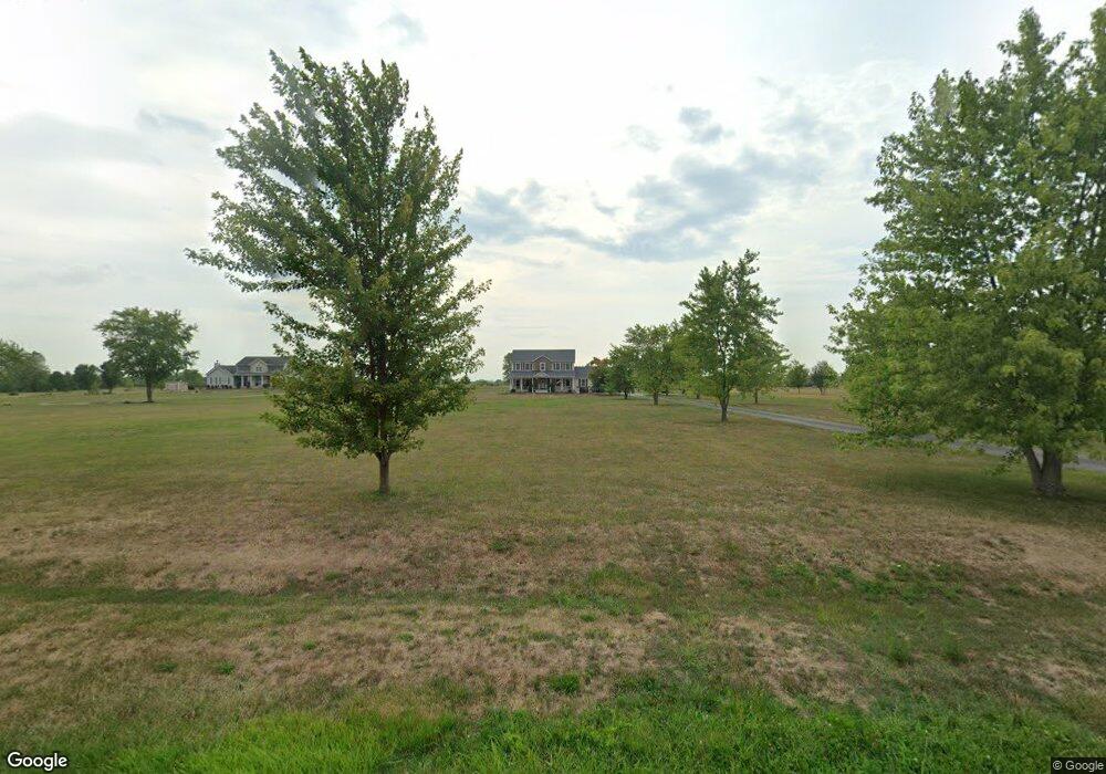
14779 Gibson Rd Ashville, OH 43103
Estimated Value: $453,000 - $526,000
4
Beds
3
Baths
2,376
Sq Ft
$211/Sq Ft
Est. Value
About This Home
This home is located at 14779 Gibson Rd, Ashville, OH 43103 and is currently estimated at $501,812, approximately $211 per square foot. 14779 Gibson Rd is a home located in Pickaway County.
Ownership History
Date
Name
Owned For
Owner Type
Purchase Details
Closed on
Jul 25, 2008
Sold by
M & T Bank
Bought by
Clark Steven D and Clark Jacquelyn R
Current Estimated Value
Home Financials for this Owner
Home Financials are based on the most recent Mortgage that was taken out on this home.
Original Mortgage
$179,100
Outstanding Balance
$118,066
Interest Rate
6.42%
Mortgage Type
Purchase Money Mortgage
Estimated Equity
$383,746
Purchase Details
Closed on
Oct 2, 2007
Sold by
Bronson Denise K and Bronson Joseph A
Bought by
M & T Bank
Purchase Details
Closed on
Jan 22, 2004
Sold by
Countrytyme Grove City Ltd
Bought by
Bronson Denise K
Create a Home Valuation Report for This Property
The Home Valuation Report is an in-depth analysis detailing your home's value as well as a comparison with similar homes in the area
Home Values in the Area
Average Home Value in this Area
Purchase History
| Date | Buyer | Sale Price | Title Company |
|---|---|---|---|
| Clark Steven D | $199,000 | Wright Choice Land Title | |
| M & T Bank | $156,667 | None Available | |
| Bronson Denise K | -- | None Available |
Source: Public Records
Mortgage History
| Date | Status | Borrower | Loan Amount |
|---|---|---|---|
| Open | Clark Steven D | $179,100 |
Source: Public Records
Tax History Compared to Growth
Tax History
| Year | Tax Paid | Tax Assessment Tax Assessment Total Assessment is a certain percentage of the fair market value that is determined by local assessors to be the total taxable value of land and additions on the property. | Land | Improvement |
|---|---|---|---|---|
| 2024 | -- | $135,150 | $37,210 | $97,940 |
| 2023 | $5,101 | $135,150 | $37,210 | $97,940 |
| 2022 | $3,928 | $95,630 | $24,830 | $70,800 |
| 2021 | $3,940 | $95,630 | $24,830 | $70,800 |
| 2020 | $3,941 | $95,630 | $24,830 | $70,800 |
| 2019 | $3,301 | $83,640 | $23,850 | $59,790 |
| 2018 | $3,273 | $83,640 | $23,850 | $59,790 |
| 2017 | $3,344 | $83,280 | $23,850 | $59,430 |
| 2016 | $3,051 | $75,840 | $21,400 | $54,440 |
| 2015 | $3,053 | $75,840 | $21,400 | $54,440 |
| 2014 | $3,056 | $75,840 | $21,400 | $54,440 |
| 2013 | $3,179 | $75,840 | $21,400 | $54,440 |
Source: Public Records
Map
Nearby Homes
- 4740 Ohio 316 Unit Tract 1
- 15360 State Route 104
- 15953 State Route 104
- 5117 Harvest Ln
- 5104 Harvest Ln
- 5122 Harvest Ln
- 13578 State Route 104
- 5327 Pear Ln
- 5310 Pear Ln Unit Lot 127
- Chestnut Plan at Day Farm
- Cooper Plan at Day Farm
- Bradford Plan at Day Farm
- Ironwood Plan at Day Farm
- Ashton Plan at Day Farm
- Empress Plan at Day Farm
- Norway Plan at Day Farm
- Spruce Plan at Day Farm
- Juniper Plan at Day Farm
- Palmetto Plan at Day Farm
- Aspen II Plan at Day Farm
- 14801 Gibson Rd
- 14701 Gibson Rd
- 14857 Gibson Rd
- 14774 Gibson Rd
- 4871 State Route 316 W
- 14706 Gibson Rd
- 14667 Gibson Rd
- 4943 State Route 316 W
- 14792 Gibson Rd
- 14680 Gibson Rd
- 4633 State Route 316 W
- 4740 State Route 316 W
- 14894 Gibson Rd
- 14941 Gibson Rd
- 14909 Gibson Rd
- 4740 Ohio 316 Unit Tract 4
- 4740 Ohio 316 Unit Tract 3
- 4740 Ohio 316 Unit Tract 2
- 4740 Ohio 316
- 14955 Gibson Rd