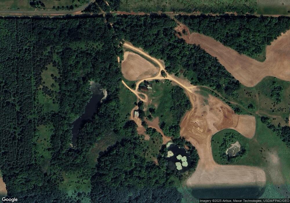
1479 Heron Ln Somerset, WI 54025
Saint Joseph NeighborhoodEstimated Value: $468,000 - $940,000
--
Bed
3
Baths
--
Sq Ft
160
Acres
About This Home
This home is located at 1479 Heron Ln, Somerset, WI 54025 and is currently estimated at $704,000. 1479 Heron Ln is a home located in St. Croix County.
Ownership History
Date
Name
Owned For
Owner Type
Purchase Details
Closed on
Feb 26, 2020
Sold by
Kluedtke Sandra and Simonet Linda
Bought by
Dulon Scott J
Current Estimated Value
Home Financials for this Owner
Home Financials are based on the most recent Mortgage that was taken out on this home.
Original Mortgage
$500,000
Outstanding Balance
$442,715
Interest Rate
3.6%
Mortgage Type
New Conventional
Estimated Equity
$261,285
Purchase Details
Closed on
Dec 29, 2014
Sold by
Hidalgo Jaime G
Bought by
Dulon Scott J
Purchase Details
Closed on
Mar 24, 2010
Sold by
Kluedtke Evelyn I
Bought by
Dulon Scott J and Hidalgo Jaime G
Home Financials for this Owner
Home Financials are based on the most recent Mortgage that was taken out on this home.
Original Mortgage
$648,000
Interest Rate
3%
Mortgage Type
Seller Take Back
Purchase Details
Closed on
Jun 6, 2009
Sold by
S R Carlson Property Llc
Bought by
Kluedtke Evelyn I
Create a Home Valuation Report for This Property
The Home Valuation Report is an in-depth analysis detailing your home's value as well as a comparison with similar homes in the area
Home Values in the Area
Average Home Value in this Area
Purchase History
| Date | Buyer | Sale Price | Title Company |
|---|---|---|---|
| Dulon Scott J | -- | None Available | |
| Dulon Scott J | $325,700 | None Available | |
| Dulon Scott J | $720,000 | None Available | |
| Kluedtke Evelyn I | -- | None Available |
Source: Public Records
Mortgage History
| Date | Status | Borrower | Loan Amount |
|---|---|---|---|
| Open | Dulon Scott J | $500,000 | |
| Previous Owner | Dulon Scott J | $648,000 |
Source: Public Records
Tax History Compared to Growth
Tax History
| Year | Tax Paid | Tax Assessment Tax Assessment Total Assessment is a certain percentage of the fair market value that is determined by local assessors to be the total taxable value of land and additions on the property. | Land | Improvement |
|---|---|---|---|---|
| 2024 | $18 | $134,200 | $127,300 | $6,900 |
| 2023 | $1,705 | $134,100 | $127,200 | $6,900 |
| 2022 | $4,141 | $133,800 | $126,900 | $6,900 |
| 2021 | $3,708 | $237,200 | $106,500 | $130,700 |
| 2020 | $3,649 | $237,300 | $106,600 | $130,700 |
| 2019 | $9,728 | $237,300 | $106,600 | $130,700 |
| 2018 | $3,052 | $237,300 | $106,600 | $130,700 |
| 2017 | $2,814 | $164,100 | $58,600 | $105,500 |
| 2016 | $2,814 | $164,100 | $58,600 | $105,500 |
| 2015 | $2,361 | $164,100 | $58,600 | $105,500 |
| 2014 | $2,103 | $164,000 | $58,500 | $105,500 |
| 2013 | $1,962 | $149,600 | $41,300 | $108,300 |
Source: Public Records
Map
Nearby Homes
- 339 144th Ave
- 342 144th Ave
- 496 149th Ave
- 487 146th Ave
- 1397 Fox Ridge Trail
- 1393 Fox Ridge Trail
- TBD 47th St
- 329 138th Ave
- 317 138th Ave
- 1432 25th St
- 543 Homestead Trail
- 406 134th Ave
- 1395 25th St
- 10 Acres Highland View
- 1334 27th St
- 1360 Birch Park Cir
- 465 Old E E
- 1303 Birch Park Rd
- 590 132nd Ave
- 375 Lot #10 172nd Ave