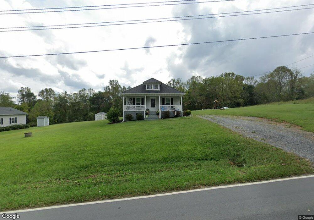
148 Hiatt Rd Mount Airy, NC 27030
Estimated Value: $155,000 - $227,000
2
Beds
1
Bath
784
Sq Ft
$230/Sq Ft
Est. Value
About This Home
This home is located at 148 Hiatt Rd, Mount Airy, NC 27030 and is currently estimated at $179,934, approximately $229 per square foot. 148 Hiatt Rd is a home with nearby schools including Pilot Mountain Elementary School, Pilot Mountain Middle School, and East Surry High School.
Ownership History
Date
Name
Owned For
Owner Type
Purchase Details
Closed on
Mar 31, 2025
Sold by
White Elizabeth and Duggins Gregory Scott
Bought by
Cruise Darren
Current Estimated Value
Home Financials for this Owner
Home Financials are based on the most recent Mortgage that was taken out on this home.
Original Mortgage
$142,500
Outstanding Balance
$141,771
Interest Rate
6.87%
Mortgage Type
New Conventional
Estimated Equity
$38,163
Purchase Details
Closed on
Nov 27, 2019
Sold by
Cgec Properties Llc
Bought by
White Elizabeth and Duggins Gregory S
Create a Home Valuation Report for This Property
The Home Valuation Report is an in-depth analysis detailing your home's value as well as a comparison with similar homes in the area
Home Values in the Area
Average Home Value in this Area
Purchase History
| Date | Buyer | Sale Price | Title Company |
|---|---|---|---|
| Cruise Darren | $150,000 | None Listed On Document | |
| Cruise Darren | $150,000 | None Listed On Document | |
| White Elizabeth | $98,000 | -- |
Source: Public Records
Mortgage History
| Date | Status | Borrower | Loan Amount |
|---|---|---|---|
| Open | Cruise Darren | $142,500 | |
| Closed | Cruise Darren | $142,500 |
Source: Public Records
Tax History Compared to Growth
Tax History
| Year | Tax Paid | Tax Assessment Tax Assessment Total Assessment is a certain percentage of the fair market value that is determined by local assessors to be the total taxable value of land and additions on the property. | Land | Improvement |
|---|---|---|---|---|
| 2025 | $787 | $126,580 | $9,600 | $116,980 |
| 2024 | $616 | $91,490 | $9,600 | $81,890 |
| 2023 | $505 | $91,490 | $9,600 | $81,890 |
| 2022 | $606 | $91,490 | $9,600 | $81,890 |
| 2021 | $616 | $91,490 | $9,600 | $81,890 |
| 2020 | $583 | $83,100 | $9,600 | $73,500 |
Source: Public Records
Map
Nearby Homes
- 366 Sheep Farm Rd
- 278 Old Us Highway 52
- 181 Fox Walk Ln
- 250 High Meadow Trail
- 115 Stout Ln
- 235 Hunter Ridge Ln
- 208 Holly Ave
- 177 Janice Dr
- Tbd Farmbrook Rd
- 01 Farmbrook Rd
- 000000 Farmbrook Rd
- 00000 Farmbrook Rd
- 02 Farmbrook Rd
- 00 Farmbrook Rd
- 00 S Andy Griffith Pkwy
- TBD S Andy Griffith Pkwy
- 201 Circle View Rd
- 112 Balcony Ln
- 138 Arthur Needham Rd
- 1520 Edgewood Dr
- 158 Hiatt Rd
- 145 Hiatt Rd
- 161 Hiatt Rd
- 168 Hiatt Rd
- 137 Hiatt Rd
- 123 Hiatt Rd
- Lot 2A Farm Rd
- 723 Sheep Farm Rd
- 171 Hiatt Rd
- 732 Sheep Farm Rd
- 160 Christie Creek Way
- 797 Sheep Farm Rd
- 762 Sheep Farm Rd
- 710 Sheep Farm Rd
- 794 Sheep Farm Rd
- 822 Sheep Farm Rd
- 837 Sheep Farm Rd
- 135 Bedrock Trail
- 260 Hiatt Rd
- 269 Hiatt Rd