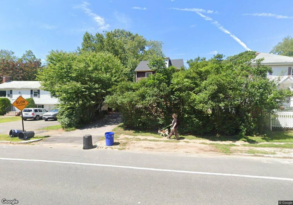
1487 Furnace Brook Pkwy Quincy, MA 02169
Estimated Value: $467,000 - $587,000
3
Beds
1
Bath
1,076
Sq Ft
$488/Sq Ft
Est. Value
About This Home
This home is located at 1487 Furnace Brook Pkwy, Quincy, MA 02169 and is currently estimated at $524,579, approximately $487 per square foot. 1487 Furnace Brook Pkwy is a home located in Norfolk County with nearby schools including South West Middle School, Lincoln-Hancock Community School, and Quincy High School.
Ownership History
Date
Name
Owned For
Owner Type
Purchase Details
Closed on
Aug 28, 1991
Sold by
Goodhue Mitchell J
Bought by
Parsons Richard C
Current Estimated Value
Create a Home Valuation Report for This Property
The Home Valuation Report is an in-depth analysis detailing your home's value as well as a comparison with similar homes in the area
Home Values in the Area
Average Home Value in this Area
Purchase History
| Date | Buyer | Sale Price | Title Company |
|---|---|---|---|
| Parsons Richard C | $130,000 | -- | |
| Parsons Richard C | $130,000 | -- |
Source: Public Records
Mortgage History
| Date | Status | Borrower | Loan Amount |
|---|---|---|---|
| Open | Parsons Richard C | $399,000 |
Source: Public Records
Tax History Compared to Growth
Tax History
| Year | Tax Paid | Tax Assessment Tax Assessment Total Assessment is a certain percentage of the fair market value that is determined by local assessors to be the total taxable value of land and additions on the property. | Land | Improvement |
|---|---|---|---|---|
| 2025 | $5,700 | $494,400 | $265,000 | $229,400 |
| 2024 | $5,378 | $477,200 | $252,400 | $224,800 |
| 2023 | $5,002 | $449,400 | $240,400 | $209,000 |
| 2022 | $4,562 | $380,800 | $192,300 | $188,500 |
| 2021 | $4,537 | $373,700 | $192,300 | $181,400 |
| 2020 | $4,459 | $358,700 | $192,300 | $166,400 |
| 2019 | $4,334 | $345,300 | $186,700 | $158,600 |
| 2018 | $4,265 | $319,700 | $172,900 | $146,800 |
| 2017 | $4,218 | $297,700 | $164,600 | $133,100 |
| 2016 | $3,956 | $275,500 | $149,700 | $125,800 |
| 2015 | $3,748 | $256,700 | $141,200 | $115,500 |
| 2014 | $3,679 | $247,600 | $141,200 | $106,400 |
Source: Public Records
Map
Nearby Homes
- 52 Bunker Hill Ln
- 63 Adele Rd
- 211 West St Unit 12B
- 2 Ricciuti Dr Unit 8
- 55 Station St Unit 1
- 57A West St
- 328 Copeland St Unit 3E
- 42 West St
- 36 Greystone St Unit 36
- 211 Copeland St
- 808 Willard St Unit F11
- 72 Centre St Unit J
- 57 Buckley St
- 145 Suomi Rd Unit C7
- 230 Willard St Unit 204
- 41 Filbert St
- 29 Oconnell Ave
- 203 Centre St
- 37 Wren Terrace Unit 2
- 14 Arthur Ave
- 1485 Furnace Brook Pkwy
- 1493 Furnace Brook Pkwy
- 10 Salem St
- 1501 Furnace Brook Pkwy
- 16 Salem St
- 45 Ashland St
- 1475 Furnace Brook Pkwy
- 41 Ashland St
- 20 Salem St
- 60 Bunker Hill Ln
- 50 Bunker Hill Ln
- 26 Salem St
- 37 Ashland St
- 3 Frederick St
- 9 Frederick St
- 46 Bunker Hill Ln
- 38 Bunker Hill Ln
- 1457 Furnace Brook Pkwy
- 4 Frederick St
- 30 Salem St