149 Dartmouth Trail Hopatcong, NJ 07843
Estimated Value: $288,206 - $304,000
--
Bed
--
Bath
635
Sq Ft
$466/Sq Ft
Est. Value
About This Home
This home is located at 149 Dartmouth Trail, Hopatcong, NJ 07843 and is currently estimated at $295,802, approximately $465 per square foot. 149 Dartmouth Trail is a home located in Sussex County with nearby schools including Hudson Maxim Elementary School, Durban Avenue Elementary School, and Tulsa Trail Elementary School.
Ownership History
Date
Name
Owned For
Owner Type
Purchase Details
Closed on
Dec 6, 2002
Sold by
Powers Dana Lee
Bought by
Johnson William
Current Estimated Value
Home Financials for this Owner
Home Financials are based on the most recent Mortgage that was taken out on this home.
Original Mortgage
$134,830
Outstanding Balance
$56,998
Interest Rate
6.02%
Mortgage Type
Stand Alone First
Estimated Equity
$238,804
Purchase Details
Closed on
Oct 15, 1999
Sold by
Mulhearn Joseph
Bought by
Powers Thomas William
Home Financials for this Owner
Home Financials are based on the most recent Mortgage that was taken out on this home.
Original Mortgage
$91,800
Interest Rate
7.8%
Mortgage Type
VA
Purchase Details
Closed on
Mar 17, 1995
Sold by
Andelman Mary
Bought by
Mulhearn Joseph
Create a Home Valuation Report for This Property
The Home Valuation Report is an in-depth analysis detailing your home's value as well as a comparison with similar homes in the area
Home Values in the Area
Average Home Value in this Area
Purchase History
| Date | Buyer | Sale Price | Title Company |
|---|---|---|---|
| Johnson William | $139,000 | -- | |
| Powers Thomas William | $90,000 | -- | |
| Mulhearn Joseph | $50,000 | -- |
Source: Public Records
Mortgage History
| Date | Status | Borrower | Loan Amount |
|---|---|---|---|
| Open | Johnson William | $134,830 | |
| Previous Owner | Powers Thomas William | $91,800 |
Source: Public Records
Tax History Compared to Growth
Tax History
| Year | Tax Paid | Tax Assessment Tax Assessment Total Assessment is a certain percentage of the fair market value that is determined by local assessors to be the total taxable value of land and additions on the property. | Land | Improvement |
|---|---|---|---|---|
| 2025 | $4,287 | $205,600 | $124,200 | $81,400 |
| 2024 | $4,115 | $205,600 | $124,200 | $81,400 |
| 2023 | $4,115 | $117,600 | $66,200 | $51,400 |
| 2022 | $4,034 | $117,600 | $66,200 | $51,400 |
| 2021 | $3,965 | $117,600 | $66,200 | $51,400 |
| 2020 | $3,924 | $117,600 | $66,200 | $51,400 |
| 2019 | $3,908 | $117,600 | $66,200 | $51,400 |
| 2018 | $3,900 | $117,600 | $66,200 | $51,400 |
| 2017 | $3,894 | $117,600 | $66,200 | $51,400 |
| 2016 | $3,902 | $117,600 | $66,200 | $51,400 |
| 2015 | $3,814 | $117,600 | $66,200 | $51,400 |
| 2014 | $3,801 | $117,600 | $66,200 | $51,400 |
Source: Public Records
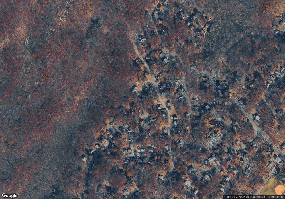
Map
Nearby Homes
- 2 Lincoln Trail
- 736 Brooklyn Mountain Rd
- 4 Northwestern Trail
- 720 Brooklyn Mountain Rd
- 452 Brown Trail
- 17 Coolidge Trail
- 125 Jefferson Trail
- 35 Mountain Trail
- 176 Monroe Trail
- 121 Bucknell Trail
- 626 Brooklyn Mountain Rd
- 151 Monroe Trail
- 207 Dupont Ave
- 134 Monroe Trail
- 114 Rollins Trail
- 11 Bucknell Way
- 5 Geneva Trail
- 38 Geneva Trail
- 336 Brown Trail
- 8 Cornell Way
- 147 Daroutemouth Trail
- 151 Dartmouth Trail
- 766 Brooklyn Mountain Rd
- 13 Seton Trail
- 770 Brooklyn Mountain Rd
- 10 Seton Trail
- 150 Dartmouth Trail
- 764 Brooklyn Mountain Rd
- 143 Dartmouth Trail
- 762 Brooklyn Mountain Rd
- 761 Brooklyn Mountain Rd Unit 1
- 763 Brooklyn Mountain Rd
- 9 Seton Trail
- 142 Dartmouth Trail
- 6 Seton Trail
- 154 Daroutemouth Trail
- 760 Brooklyn Mountain Rd
- 765 Brooklyn Mountain Rd
- 137 Dartmouth Trail
- 759 Brooklyn Mountain Rd