149 Outlaw Ln Suffolk, VA 23435
Sleepy Hole NeighborhoodEstimated Value: $473,370 - $494,000
4
Beds
2
Baths
2,247
Sq Ft
$215/Sq Ft
Est. Value
About This Home
This home is located at 149 Outlaw Ln, Suffolk, VA 23435 and is currently estimated at $483,343, approximately $215 per square foot. 149 Outlaw Ln is a home located in Suffolk City with nearby schools including Nansemond Parkway Elementary School, John Yeates Middle School, and Nansemond River High School.
Ownership History
Date
Name
Owned For
Owner Type
Purchase Details
Closed on
Oct 12, 2021
Sold by
Miles Seth A and Miles Desiree A
Bought by
Wright John P and Wright Kathryn
Current Estimated Value
Purchase Details
Closed on
Apr 5, 2016
Sold by
Ramsey Formerly Known As Lisa M Wil Lisa M
Bought by
Miles Seth A and Miles Desiree A
Home Financials for this Owner
Home Financials are based on the most recent Mortgage that was taken out on this home.
Original Mortgage
$247,920
Interest Rate
3.64%
Mortgage Type
VA
Create a Home Valuation Report for This Property
The Home Valuation Report is an in-depth analysis detailing your home's value as well as a comparison with similar homes in the area
Home Values in the Area
Average Home Value in this Area
Purchase History
| Date | Buyer | Sale Price | Title Company |
|---|---|---|---|
| Wright John P | $415,000 | Signature Title | |
| Miles Seth A | $240,000 | Attorney |
Source: Public Records
Mortgage History
| Date | Status | Borrower | Loan Amount |
|---|---|---|---|
| Previous Owner | Miles Seth A | $247,920 |
Source: Public Records
Tax History Compared to Growth
Tax History
| Year | Tax Paid | Tax Assessment Tax Assessment Total Assessment is a certain percentage of the fair market value that is determined by local assessors to be the total taxable value of land and additions on the property. | Land | Improvement |
|---|---|---|---|---|
| 2024 | $4,689 | $377,900 | $47,400 | $330,500 |
| 2023 | $4,437 | $368,700 | $47,400 | $321,300 |
| 2022 | $3,600 | $330,300 | $47,400 | $282,900 |
| 2021 | $3,142 | $283,100 | $47,400 | $235,700 |
| 2020 | $3,039 | $273,800 | $47,400 | $226,400 |
| 2019 | $3,033 | $273,200 | $47,400 | $225,800 |
| 2018 | $2,800 | $256,200 | $47,400 | $208,800 |
| 2017 | $2,574 | $240,600 | $47,400 | $193,200 |
| 2016 | $2,495 | $233,200 | $47,400 | $185,800 |
| 2015 | $1,288 | $232,400 | $46,600 | $185,800 |
| 2014 | $1,288 | $232,400 | $46,600 | $185,800 |
Source: Public Records
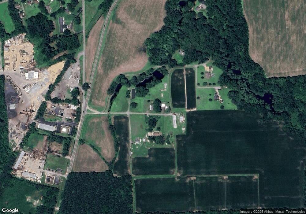
Map
Nearby Homes
- 3010 Beech Grove Ln
- 3109 Driver Station Way
- 3102 Caroline Crescent
- Lot 30 Patrick Dr
- 2226 Patrick Dr
- Franklin Plan at Creekside Reserve
- Taylor Plan at Creekside Reserve
- Jarvis Plan at Creekside Reserve
- Grayson Plan at Creekside Reserve
- Chatham Plan at Creekside Reserve
- 4102 Bluebill Dr
- 2221 Patrick Dr
- 2213 Patrick Dr
- 2228 Patrick Dr
- 2241 Patrick Dr
- 2030 Canvasback Dr
- 2230 Patrick Dr
- 3702 Nansemond Pkwy
- 3019 Dalton Cir
- 3017 Dalton Cir
- 129 Outlaw Ln
- 154 Outlaw Ln
- 173 Outlaw Ln
- 170 Outlaw Ln
- 175 Outlaw Ln
- 0 Driver Ln
- 3919 Nansemond Pkwy
- 4087 Driver Ln
- 179 Outlaw Ln
- 4109 Driver Ln
- 1 Blair Brothers Rd
- 4114 Driver Ln
- 3129 Kings Hwy
- 4301 Nansemond Pkwy
- 3143 Kings Hwy
- 3117 Kings Hwy
- 3057 Kings Hwy
- 3909 Nansemond Pkwy
- 3049 Kings Hwy
- 3033 Kings Hwy