14909 Gibson Rd Ashville, OH 43103
Estimated Value: $429,000 - $679,779
3
Beds
3
Baths
2,125
Sq Ft
$266/Sq Ft
Est. Value
About This Home
This home is located at 14909 Gibson Rd, Ashville, OH 43103 and is currently estimated at $564,945, approximately $265 per square foot. 14909 Gibson Rd is a home.
Ownership History
Date
Name
Owned For
Owner Type
Purchase Details
Closed on
Feb 8, 2018
Sold by
Tomlisson Katherine E
Bought by
Mitchell Matthew C and Mitchell Jamie D
Current Estimated Value
Home Financials for this Owner
Home Financials are based on the most recent Mortgage that was taken out on this home.
Original Mortgage
$30,000
Outstanding Balance
$25,439
Interest Rate
4.04%
Mortgage Type
Credit Line Revolving
Estimated Equity
$539,506
Purchase Details
Closed on
Apr 29, 2016
Sold by
Gee Steven D and Gee Rhonda K
Bought by
Tomlinson Katherine E
Purchase Details
Closed on
Apr 26, 2016
Sold by
Marchese Joseph A
Bought by
Gee Steven D and Gee Rhonda K
Purchase Details
Closed on
Sep 24, 2009
Sold by
Bible William H and Bible Mary C
Bought by
Marchese Mary Ann and Mary Ann Marchese Revocable Trust
Purchase Details
Closed on
Apr 18, 2008
Sold by
Countrytyme Grove City Ltd
Bought by
Bible William H
Create a Home Valuation Report for This Property
The Home Valuation Report is an in-depth analysis detailing your home's value as well as a comparison with similar homes in the area
Home Values in the Area
Average Home Value in this Area
Purchase History
| Date | Buyer | Sale Price | Title Company |
|---|---|---|---|
| Mitchell Matthew C | $105,000 | None Available | |
| Tomlinson Katherine E | $81,900 | Title Company Ltd | |
| Gee Steven D | $71,900 | Title Company Ltd | |
| Marchese Mary Ann | $47,400 | Attorney | |
| Bible William H | -- | Attorney |
Source: Public Records
Mortgage History
| Date | Status | Borrower | Loan Amount |
|---|---|---|---|
| Open | Mitchell Matthew C | $30,000 |
Source: Public Records
Tax History Compared to Growth
Tax History
| Year | Tax Paid | Tax Assessment Tax Assessment Total Assessment is a certain percentage of the fair market value that is determined by local assessors to be the total taxable value of land and additions on the property. | Land | Improvement |
|---|---|---|---|---|
| 2024 | -- | $179,700 | $50,480 | $129,220 |
| 2023 | $6,917 | $179,700 | $50,480 | $129,220 |
| 2022 | $5,315 | $126,550 | $33,700 | $92,850 |
| 2021 | $5,331 | $126,550 | $33,700 | $92,850 |
| 2020 | $5,333 | $126,550 | $33,700 | $92,850 |
| 2019 | $2,307 | $106,400 | $32,490 | $73,910 |
| 2018 | $1,169 | $29,170 | $29,170 | $0 |
| 2017 | $1,533 | $29,170 | $29,170 | $0 |
| 2016 | $1,214 | $29,460 | $29,460 | $0 |
| 2015 | $608 | $29,460 | $29,460 | $0 |
| 2014 | $1,217 | $29,460 | $29,460 | $0 |
| 2013 | $1,265 | $29,460 | $29,460 | $0 |
Source: Public Records
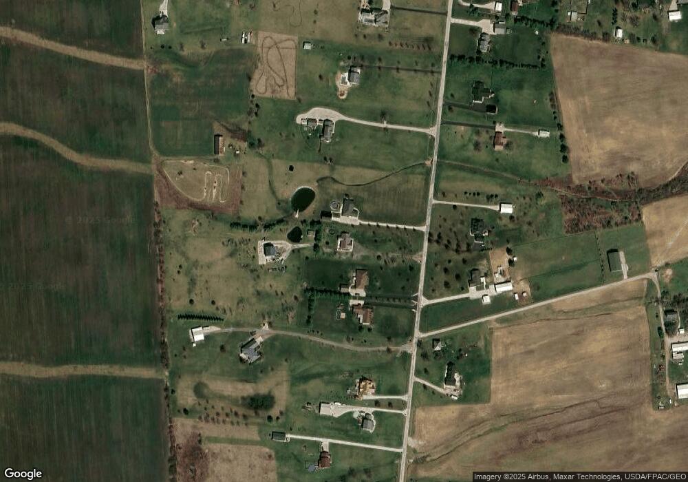
Map
Nearby Homes
- 4740 Ohio 316 Unit Tract 1
- 15360 State Route 104
- 15953 State Route 104
- 5117 Harvest Ln
- 5122 Harvest Ln
- 5104 Harvest Ln
- 5327 Pear Ln
- 5310 Pear Ln Unit Lot 127
- Chestnut Plan at Day Farm
- Cooper Plan at Day Farm
- Bradford Plan at Day Farm
- Ironwood Plan at Day Farm
- Ashton Plan at Day Farm
- Empress Plan at Day Farm
- Norway Plan at Day Farm
- Spruce Plan at Day Farm
- Juniper Plan at Day Farm
- Palmetto Plan at Day Farm
- Aspen II Plan at Day Farm
- 5026 Farmhouse Rd
- 15007 Gibson Rd
- 14941 Gibson Rd
- 14857 Gibson Rd
- 14955 Gibson Rd
- 4943 State Route 316 W
- 15033 Gibson Rd
- 14801 Gibson Rd
- 15051 Gibson Rd
- 14779 Gibson Rd
- 15085 Gibson Rd
- 14946 Gibson Rd
- 14894 Gibson Rd
- 14792 Gibson Rd
- 15145 Gibson Rd
- 15116 Gibson Rd
- 14701 Gibson Rd
- 4871 State Route 316 W
- 14774 Gibson Rd
- 15150 Gibson Rd
- 14706 Gibson Rd