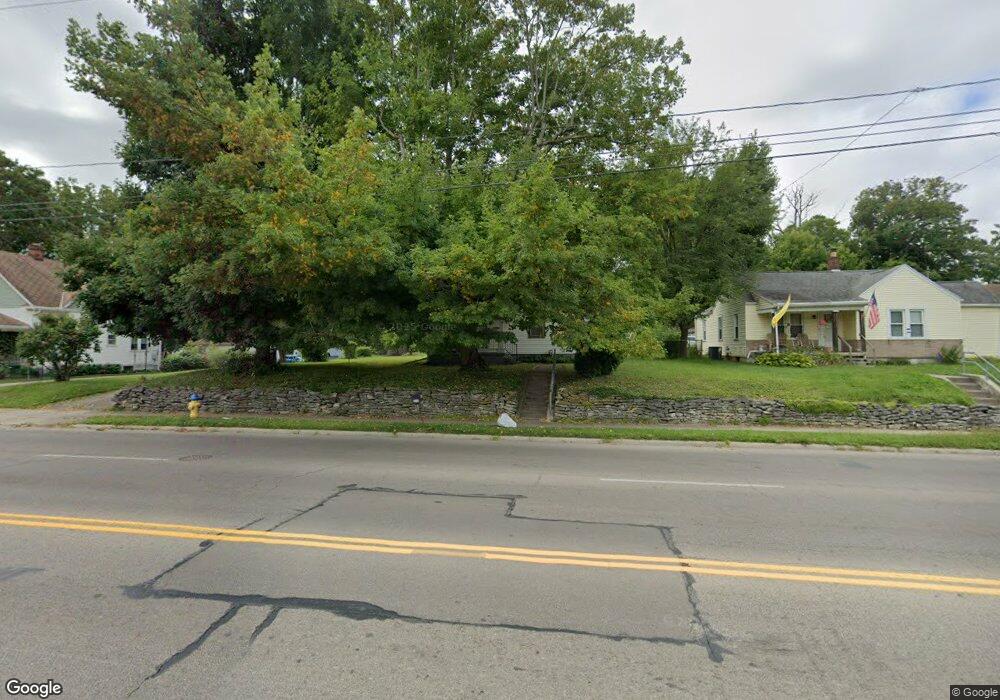
1497 S Burnett Rd Springfield, OH 45505
Estimated Value: $98,000 - $164,000
2
Beds
1
Bath
704
Sq Ft
$187/Sq Ft
Est. Value
About This Home
This home is located at 1497 S Burnett Rd, Springfield, OH 45505 and is currently estimated at $131,495, approximately $186 per square foot. 1497 S Burnett Rd is a home located in Clark County with nearby schools including Kenwood Elementary School, Hayward Middle School, and Springfield High School.
Ownership History
Date
Name
Owned For
Owner Type
Purchase Details
Closed on
Aug 25, 2000
Sold by
Thornsberry Billy R and Thornsberry Myrtle M
Bought by
Hockemeyer Richard C
Current Estimated Value
Home Financials for this Owner
Home Financials are based on the most recent Mortgage that was taken out on this home.
Original Mortgage
$47,900
Interest Rate
8%
Mortgage Type
Purchase Money Mortgage
Purchase Details
Closed on
Nov 22, 1991
Create a Home Valuation Report for This Property
The Home Valuation Report is an in-depth analysis detailing your home's value as well as a comparison with similar homes in the area
Home Values in the Area
Average Home Value in this Area
Purchase History
| Date | Buyer | Sale Price | Title Company |
|---|---|---|---|
| Hockemeyer Richard C | $59,900 | -- | |
| -- | $29,000 | -- |
Source: Public Records
Mortgage History
| Date | Status | Borrower | Loan Amount |
|---|---|---|---|
| Closed | Hockemeyer Richard C | $47,900 |
Source: Public Records
Tax History Compared to Growth
Tax History
| Year | Tax Paid | Tax Assessment Tax Assessment Total Assessment is a certain percentage of the fair market value that is determined by local assessors to be the total taxable value of land and additions on the property. | Land | Improvement |
|---|---|---|---|---|
| 2024 | $637 | $22,390 | $9,290 | $13,100 |
| 2023 | $637 | $22,390 | $9,290 | $13,100 |
| 2022 | $674 | $22,390 | $9,290 | $13,100 |
| 2021 | $415 | $16,500 | $6,730 | $9,770 |
| 2020 | $416 | $16,500 | $6,730 | $9,770 |
| 2019 | $417 | $16,500 | $6,730 | $9,770 |
| 2018 | $370 | $15,360 | $6,730 | $8,630 |
| 2017 | $370 | $15,362 | $6,734 | $8,628 |
| 2016 | $371 | $15,362 | $6,734 | $8,628 |
| 2015 | $189 | $15,362 | $6,734 | $8,628 |
| 2014 | $376 | $15,362 | $6,734 | $8,628 |
| 2013 | $186 | $15,362 | $6,734 | $8,628 |
Source: Public Records
Map
Nearby Homes
- 2605 Morton Dr
- 2218 Tanager Rd
- 1554 S Belmont Ave
- 2008 Kenton St
- 2733 Elmore Dr
- 1904 Sunset Ave
- 1915 Kenwood Ave
- 1979 Kenton St
- 2751 Share St
- 1810 Kenwood Ave
- 1832 Victory Dr
- 2753 Van Buren Ave
- 2073 Stowe Dr
- 1716 N Sweetbriar Ln
- 1714 Kenton St
- 2345 Irwin Ave
- 1225 Beacon St
- 1815 Beacon St
- 2434 Irwin Ave
- 2216 Hackberry St
- 1495 S Burnett Rd
- 1501 S Burnett Rd
- 1493 S Burnett Rd
- 1511 S Burnett Rd
- 1489 S Burnett Rd
- 1496 S Burnett Rd
- 1503 S Burnett Rd
- 1486 S Burnett Rd
- 2540 Sunset Ave
- 1500 S Burnett Rd
- 2538 Sunset Ave
- 1533 S Burnett Rd
- 2551 Kenton St
- 1484 S Burnett Rd
- 1482 S Burnett Rd
- 2563 Kenton St
- 2555 Kenton St
- 1490 S Burnett Rd
- 1524 S Burnett Rd
- 1480 S Burnett Rd