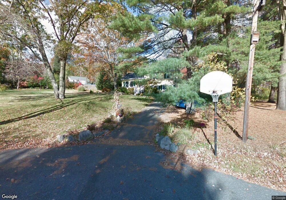
15 Cynthia Cir Holliston, MA 01746
Estimated Value: $616,000 - $667,610
3
Beds
3
Baths
1,414
Sq Ft
$448/Sq Ft
Est. Value
About This Home
This home is located at 15 Cynthia Cir, Holliston, MA 01746 and is currently estimated at $632,903, approximately $447 per square foot. 15 Cynthia Cir is a home located in Middlesex County with nearby schools including Miller Elementary School, Robert H. Adams Middle School, and Holliston High School.
Ownership History
Date
Name
Owned For
Owner Type
Purchase Details
Closed on
Aug 10, 1993
Sold by
Johnson Arthur R and Johnson Linda F
Bought by
Wilson Brian D and Wilson Kathleen J
Current Estimated Value
Home Financials for this Owner
Home Financials are based on the most recent Mortgage that was taken out on this home.
Original Mortgage
$119,200
Interest Rate
7.29%
Mortgage Type
Purchase Money Mortgage
Create a Home Valuation Report for This Property
The Home Valuation Report is an in-depth analysis detailing your home's value as well as a comparison with similar homes in the area
Home Values in the Area
Average Home Value in this Area
Purchase History
| Date | Buyer | Sale Price | Title Company |
|---|---|---|---|
| Wilson Brian D | $149,000 | -- |
Source: Public Records
Mortgage History
| Date | Status | Borrower | Loan Amount |
|---|---|---|---|
| Open | Wilson Brian D | $170,000 | |
| Closed | Wilson Brian D | $27,000 | |
| Closed | Wilson Brian D | $119,200 | |
| Previous Owner | Wilson Brian D | $55,000 |
Source: Public Records
Tax History Compared to Growth
Tax History
| Year | Tax Paid | Tax Assessment Tax Assessment Total Assessment is a certain percentage of the fair market value that is determined by local assessors to be the total taxable value of land and additions on the property. | Land | Improvement |
|---|---|---|---|---|
| 2025 | $8,399 | $573,300 | $259,500 | $313,800 |
| 2024 | $7,638 | $507,200 | $259,500 | $247,700 |
| 2023 | $7,697 | $499,800 | $259,500 | $240,300 |
| 2022 | $7,286 | $419,200 | $259,500 | $159,700 |
| 2021 | $7,269 | $407,200 | $247,500 | $159,700 |
| 2020 | $7,089 | $376,100 | $224,900 | $151,200 |
| 2019 | $6,926 | $367,800 | $218,300 | $149,500 |
| 2018 | $6,867 | $367,800 | $218,300 | $149,500 |
| 2017 | $6,830 | $368,800 | $222,800 | $146,000 |
| 2016 | $6,663 | $354,600 | $191,400 | $163,200 |
| 2015 | $6,432 | $331,900 | $156,500 | $175,400 |
Source: Public Records
Map
Nearby Homes
- 156 Mitchell Rd
- 625 Norfolk St
- 266 Willowgate Rise
- 140 Goulding St
- 27 Richardson Dr Unit 27
- 0 Hill St
- 1 Jameson Dr Unit 1
- 154 Union St
- 3 Jameson Dr Unit 3
- 7 Hill St
- 1366 Washington St
- 1037 Washington St
- 73 Orchard St
- 18 Lansing Way Unit 18
- 20 Lansing Way Unit 20
- 6 Glen Ellen Blvd Unit 6
- 30 Powderhorn Ln
- 121 Bullard St
- 116 Winthrop St
- 30 Broken Tree Rd
- 23 Cynthia Cir
- 424 Norfolk St
- 7 Cynthia Cir
- 432 Norfolk St
- 410 Norfolk St
- 444 Norfolk St
- 0 Norfolk St Unit 50393704
- 0 Norfolk St Unit 72543302
- 117 Shaw Farm Rd
- 425 Norfolk St
- 406 Norfolk St
- 454 Norfolk St
- 429 Norfolk St
- 109 Shaw Farm Rd
- 435 Norfolk St
- 101 Shaw Farm Rd
- 12 Appleyard Ln
- 400 Norfolk St
- 157 Shaw Farm Rd
- 437 Norfolk St