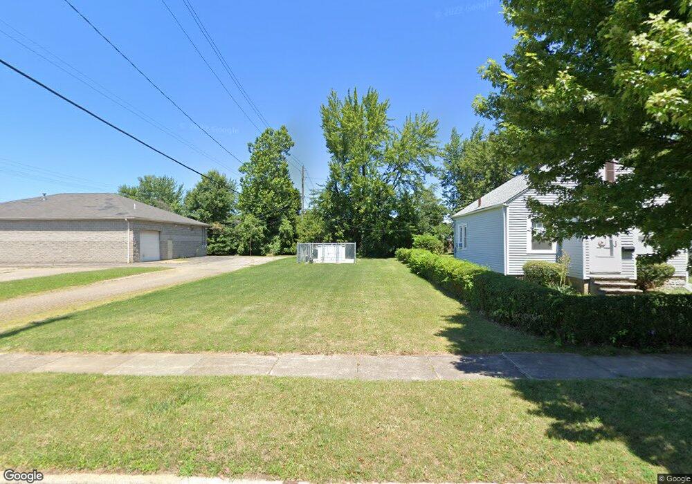
15 Henry St Bedford, OH 44146
Estimated Value: $57,507 - $88,000
--
Bed
--
Bath
--
Sq Ft
5,227
Sq Ft Lot
About This Home
This home is located at 15 Henry St, Bedford, OH 44146 and is currently estimated at $68,627. 15 Henry St is a home located in Cuyahoga County with nearby schools including Heskett Middle School, Bedford High School, and Ohio College Preparatory School.
Ownership History
Date
Name
Owned For
Owner Type
Purchase Details
Closed on
Aug 31, 2021
Sold by
Wideopenwest Ohio Llc
Bought by
Atlantic Broadband Oh Llc
Current Estimated Value
Purchase Details
Closed on
Mar 22, 2019
Sold by
Brubaker Tige L and Brubaker Jennifer
Bought by
Wideopen West Ohio Llc
Purchase Details
Closed on
Mar 11, 2010
Sold by
Rockwell Builders Inc
Bought by
Brubaker Tige L
Purchase Details
Closed on
Oct 7, 2005
Sold by
S E Mighton Co
Bought by
Rockwell Builders Inc
Purchase Details
Closed on
Jan 1, 1975
Bought by
Mighton S E Co
Create a Home Valuation Report for This Property
The Home Valuation Report is an in-depth analysis detailing your home's value as well as a comparison with similar homes in the area
Home Values in the Area
Average Home Value in this Area
Purchase History
| Date | Buyer | Sale Price | Title Company |
|---|---|---|---|
| Atlantic Broadband Oh Llc | $45,600 | Chicago Title Insurance Co | |
| Wideopen West Ohio Llc | $16,500 | First American Title Ins Co | |
| Brubaker Tige L | $2,500 | Quality Title Agency Inc | |
| Rockwell Builders Inc | $14,250 | Us Title Agency | |
| Mighton S E Co | -- | -- |
Source: Public Records
Tax History Compared to Growth
Tax History
| Year | Tax Paid | Tax Assessment Tax Assessment Total Assessment is a certain percentage of the fair market value that is determined by local assessors to be the total taxable value of land and additions on the property. | Land | Improvement |
|---|---|---|---|---|
| 2024 | $561 | $7,595 | $7,595 | -- |
| 2023 | $493 | $5,780 | $5,780 | $0 |
| 2022 | $433 | $5,780 | $5,780 | $0 |
| 2021 | $429 | $5,780 | $5,780 | $0 |
| 2020 | $450 | $5,460 | $5,460 | $0 |
| 2019 | $438 | $15,600 | $15,600 | $0 |
| 2018 | $426 | $5,460 | $5,460 | $0 |
| 2017 | $423 | $5,010 | $5,010 | $0 |
| 2016 | $419 | $5,010 | $5,010 | $0 |
| 2015 | $451 | $5,010 | $5,010 | $0 |
| 2014 | $451 | $5,430 | $5,430 | $0 |
Source: Public Records
Map
Nearby Homes
- 33 William St
- 92 John St
- 43 Forbes Rd
- 209 Dalepark Dr Unit 7
- 209 Dalepark Dr
- 200 Dalepark Dr Unit 3
- 80 Egbert Rd
- 194 Dalepark Dr Unit 5
- 7262 Free Ave
- 7263 Free Ave
- 70 Union St
- 7349 Wright Ave
- 7222 Grove Ave
- 7228 Grove Ave
- 140 Cowles Ave
- 167 Willis St
- 772 Broadway Ave
- 6569 Pau Ct
- 6538 Pau Ct
- 7322 Kentucky Dr