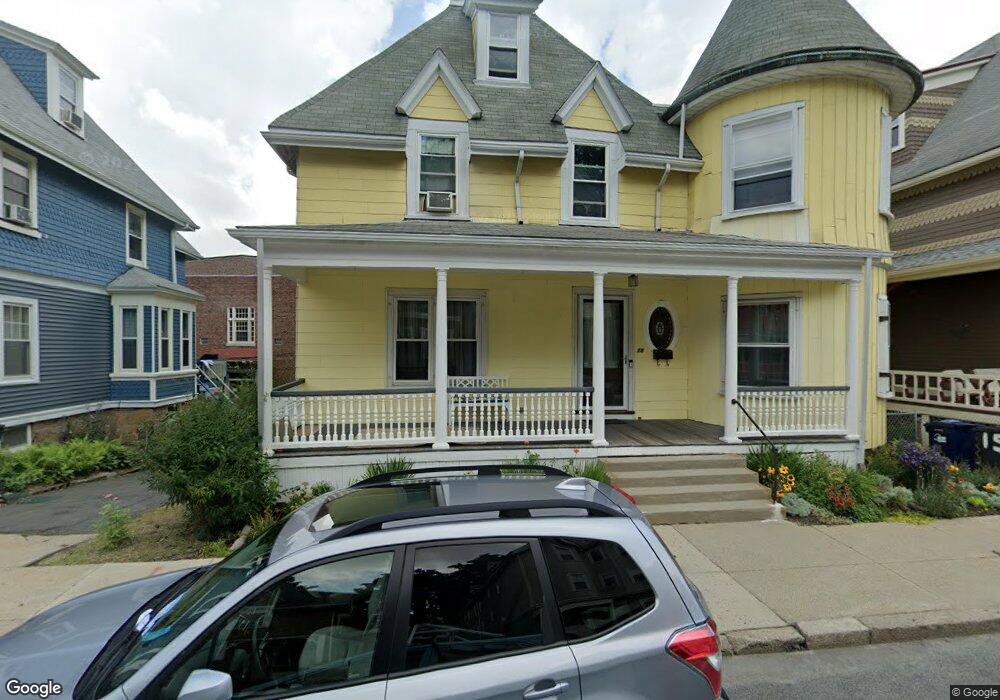
15 Howland St Dorchester, MA 02121
Washington Park NeighborhoodEstimated Value: $596,000 - $695,000
5
Beds
3
Baths
3,123
Sq Ft
$212/Sq Ft
Est. Value
About This Home
This home is located at 15 Howland St, Dorchester, MA 02121 and is currently estimated at $662,803, approximately $212 per square foot. 15 Howland St is a home located in Suffolk County with nearby schools including Bridge Boston Charter School and Mother Caroline Academy & Education Center.
Ownership History
Date
Name
Owned For
Owner Type
Purchase Details
Closed on
Nov 26, 2024
Sold by
Keith Mary E
Bought by
Mcelrath Jocelyn E
Current Estimated Value
Purchase Details
Closed on
Jul 30, 1992
Sold by
Mattocks Frances B
Bought by
Keith Mary E
Create a Home Valuation Report for This Property
The Home Valuation Report is an in-depth analysis detailing your home's value as well as a comparison with similar homes in the area
Home Values in the Area
Average Home Value in this Area
Purchase History
| Date | Buyer | Sale Price | Title Company |
|---|---|---|---|
| Mcelrath Jocelyn E | -- | None Available | |
| Mcelrath Jocelyn E | -- | None Available | |
| Keith Mary E | $66,000 | -- | |
| Keith Mary E | $66,000 | -- |
Source: Public Records
Mortgage History
| Date | Status | Borrower | Loan Amount |
|---|---|---|---|
| Previous Owner | Keith Mary E | $132,000 | |
| Previous Owner | Keith Mary E | $105,000 | |
| Previous Owner | Keith Mary E | $41,000 |
Source: Public Records
Tax History Compared to Growth
Tax History
| Year | Tax Paid | Tax Assessment Tax Assessment Total Assessment is a certain percentage of the fair market value that is determined by local assessors to be the total taxable value of land and additions on the property. | Land | Improvement |
|---|---|---|---|---|
| 2025 | $5,857 | $505,800 | $171,400 | $334,400 |
| 2024 | $5,949 | $545,800 | $177,100 | $368,700 |
| 2023 | $5,862 | $545,800 | $177,100 | $368,700 |
| 2022 | $5,551 | $510,200 | $165,500 | $344,700 |
| 2021 | $5,337 | $500,200 | $162,300 | $337,900 |
| 2020 | $4,114 | $389,600 | $148,700 | $240,900 |
| 2019 | $3,837 | $364,000 | $123,600 | $240,400 |
| 2018 | $3,563 | $340,000 | $123,600 | $216,400 |
| 2017 | $3,601 | $340,000 | $123,600 | $216,400 |
| 2016 | $3,562 | $323,800 | $123,600 | $200,200 |
| 2015 | $2,894 | $239,000 | $80,900 | $158,100 |
| 2014 | $2,919 | $232,000 | $80,900 | $151,100 |
Source: Public Records
Map
Nearby Homes
- 7 Waumbeck St Unit 3
- 2 Otisfield St
- 495 Warren St
- 40 Devon St Unit 3
- 164 Ruthven St Unit 1
- 4 Wyoming St Unit 2
- 352 Blue Hill Ave Unit 8
- 476 Warren St
- 340 Blue Hill Ave
- 28 Wabon St
- 32 Hartwell St
- 52 Intervale St
- 63 Normandy St
- 5 Glenburne St
- 8 Weldon St
- 12 Weldon St
- 214 Humboldt Ave
- 157-165 Stanwood St
- 103 Devon St
- 78 Hutchings St Unit 1
- 11 Howland St
- 17 Howland St
- 19 Howland St
- 9 Howland St
- 19 Brunswick St
- 16 Howland St Unit 2
- 16 Howland St
- 16 Howland St
- 16 Howland St Unit 1
- 14 Howland St
- 9 Brunswick St
- 12 Howland St
- 18 Howland St
- 23 Brunswick St
- 7 Howland St Unit 3
- 7 Howland St Unit 2
- 7 Howland St Unit 1
- 26 Elm Hill Ave
- 20 Howland St
- 10 Howland St