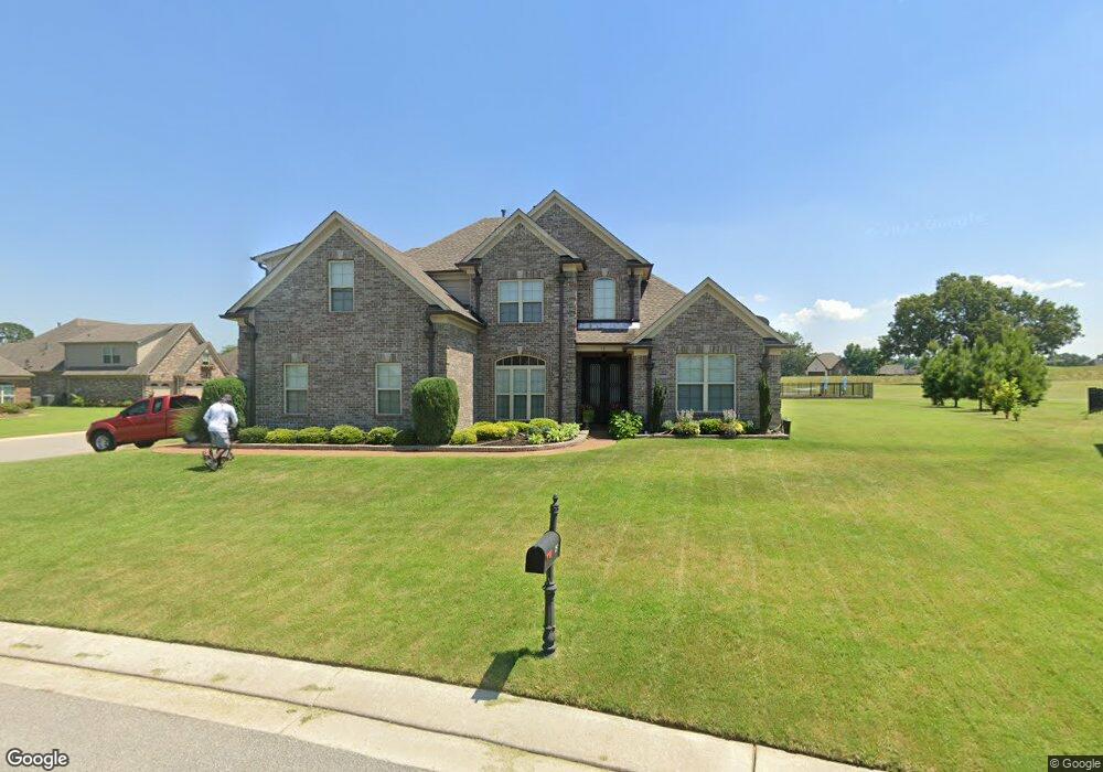
15 Muirfield Dr Oakland, TN 38060
Estimated Value: $407,870 - $471,000
--
Bed
--
Bath
2,764
Sq Ft
$159/Sq Ft
Est. Value
About This Home
This home is located at 15 Muirfield Dr, Oakland, TN 38060 and is currently estimated at $438,468, approximately $158 per square foot. 15 Muirfield Dr is a home with nearby schools including Oakland Elementary School, West Junior High School, and Fayette Ware Comprehensive High School.
Ownership History
Date
Name
Owned For
Owner Type
Purchase Details
Closed on
May 31, 2016
Sold by
Krahl Jimmy D
Bought by
Stewart Roosevelt
Current Estimated Value
Home Financials for this Owner
Home Financials are based on the most recent Mortgage that was taken out on this home.
Original Mortgage
$264,324
Outstanding Balance
$210,646
Interest Rate
3.61%
Mortgage Type
FHA
Estimated Equity
$227,822
Purchase Details
Closed on
Sep 11, 2014
Sold by
Swan Development Grp Llc
Bought by
Krahl Jimmy D and Pinion Charles B
Create a Home Valuation Report for This Property
The Home Valuation Report is an in-depth analysis detailing your home's value as well as a comparison with similar homes in the area
Home Values in the Area
Average Home Value in this Area
Purchase History
| Date | Buyer | Sale Price | Title Company |
|---|---|---|---|
| Stewart Roosevelt | $269,200 | -- | |
| Krahl Jimmy D | $405,000 | -- |
Source: Public Records
Mortgage History
| Date | Status | Borrower | Loan Amount |
|---|---|---|---|
| Open | Stewart Roosevelt | $264,324 |
Source: Public Records
Tax History Compared to Growth
Tax History
| Year | Tax Paid | Tax Assessment Tax Assessment Total Assessment is a certain percentage of the fair market value that is determined by local assessors to be the total taxable value of land and additions on the property. | Land | Improvement |
|---|---|---|---|---|
| 2024 | $2,130 | $82,500 | $12,500 | $70,000 |
| 2023 | $2,130 | $82,500 | $0 | $0 |
| 2022 | $1,412 | $82,500 | $12,500 | $70,000 |
| 2021 | $1,412 | $82,500 | $12,500 | $70,000 |
| 2020 | $1,070 | $82,500 | $12,500 | $70,000 |
| 2019 | $1,440 | $70,950 | $11,250 | $59,700 |
| 2018 | $1,482 | $70,950 | $11,250 | $59,700 |
| 2017 | $1,263 | $70,950 | $11,250 | $59,700 |
| 2016 | $836 | $43,925 | $11,250 | $32,675 |
| 2015 | $214 | $11,250 | $11,250 | $0 |
| 2014 | $214 | $11,250 | $11,250 | $0 |
Source: Public Records
Map
Nearby Homes
- 325 Saint Andrews Dr
- Callahan Plan at Fair Oaks - Villas at Fair Oaks
- Clark Plan at Fair Oaks - Villas at Fair Oaks
- Gibson Plan at Fair Oaks - Villas at Fair Oaks
- 360 Saint Andrews Dr
- 290 Saint Andrews Dr
- 205 Saint Andrews Dr
- 217 Saint Andrews Dr Unit 55-C
- 300 Saint Andrews Dr
- 175 Saint Andrews Dr
- 22 Doral Loop
- 235 Fairoaks Dr
- 75 Fairoaks Dr
- 160 Aberdeen Dr
- 65 Birkdale Dr
- 65 Bentgrass Cove
- 15 Hughetta St
- 10 Blackthorn Cove
- 205 Hughetta St S
- 000 Hwy 64
- 95 Augusta Dr
- 25 Muirfield Dr
- 140 Augusta Dr
- 120 Augusta Dr
- 100 Augusta Dr
- 20 Muirfield Dr
- 45 Muirfield Dr
- 75 Augusta Dr
- 80 Augusta Dr
- 165 Augusta Dr
- 160 Augusta Dr
- 46 Muirfield Dr
- 55 Muirfield Dr
- 60 Augusta Dr
- 65 Muirfield Dr
- 60 Muirfield Dr
- 195 Augusta Dr
- 180 Augusta Dr
- 75 Muirfield Dr
- 329 Saint Andrews Dr