15 Sherman Ln Westport, MA 02790
Estimated Value: $699,000 - $1,216,000
3
Beds
--
Bath
4,568
Sq Ft
$207/Sq Ft
Est. Value
About This Home
This home is located at 15 Sherman Ln, Westport, MA 02790 and is currently estimated at $947,452, approximately $207 per square foot. 15 Sherman Ln is a home located in Bristol County with nearby schools including Alice A. Macomber Primary School, Westport Elementary School, and Westport Middle-High School.
Ownership History
Date
Name
Owned For
Owner Type
Purchase Details
Closed on
Dec 21, 2007
Sold by
Brothers Adam and Citimortgage Inc
Bought by
Fhlmc
Current Estimated Value
Purchase Details
Closed on
Dec 8, 1995
Sold by
Raiche Donald and Raiche Donna
Bought by
Frias Joseph and Frias Ana
Create a Home Valuation Report for This Property
The Home Valuation Report is an in-depth analysis detailing your home's value as well as a comparison with similar homes in the area
Home Values in the Area
Average Home Value in this Area
Purchase History
| Date | Buyer | Sale Price | Title Company |
|---|---|---|---|
| Fhlmc | $150,736 | -- | |
| Frias Joseph | $70,000 | -- |
Source: Public Records
Mortgage History
| Date | Status | Borrower | Loan Amount |
|---|---|---|---|
| Previous Owner | Frias Joseph | $176,500 | |
| Previous Owner | Frias Joseph | $185,000 | |
| Previous Owner | Frias Joseph | $194,000 |
Source: Public Records
Tax History Compared to Growth
Tax History
| Year | Tax Paid | Tax Assessment Tax Assessment Total Assessment is a certain percentage of the fair market value that is determined by local assessors to be the total taxable value of land and additions on the property. | Land | Improvement |
|---|---|---|---|---|
| 2025 | $6,216 | $834,400 | $231,300 | $603,100 |
| 2024 | $6,314 | $816,800 | $218,100 | $598,700 |
| 2023 | $6,444 | $789,700 | $201,000 | $588,700 |
| 2022 | $6,297 | $743,000 | $182,800 | $560,200 |
| 2021 | $6,297 | $730,500 | $170,300 | $560,200 |
| 2020 | $6,116 | $725,500 | $165,300 | $560,200 |
| 2019 | $5,835 | $705,600 | $165,300 | $540,300 |
| 2018 | $4,773 | $584,200 | $164,300 | $419,900 |
| 2017 | $4,773 | $598,900 | $160,500 | $438,400 |
| 2016 | $4,790 | $605,500 | $156,800 | $448,700 |
| 2015 | $4,300 | $542,300 | $159,300 | $383,000 |
Source: Public Records
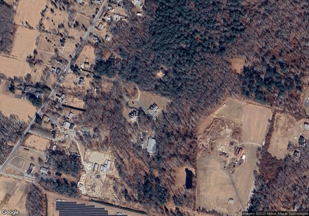
Map
Nearby Homes
- 128 Old Bedford Rd
- 3 Diane Way
- 33 William St
- 6 Beaulieu St
- 25 Beaulieu St
- 9 Register Ave
- 125 Angell St
- 1276 Old Fall River Rd
- 34 Alsop St
- 23 Donna St
- 85 Reney St
- 20 Faulkner St
- 219 Earle St Unit 3
- 217 Earle St Unit 2
- 215 Earle St Unit 1
- 89 Lafayette St
- 172 Earle St
- 37 Eaton St
- 1792 Pleasant St Unit 1808
- 10 Choate St