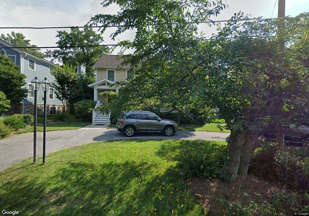
15 Upshur Ave Annapolis, MD 21403
Estimated Value: $1,230,000 - $2,005,000
--
Bed
3
Baths
2,671
Sq Ft
$571/Sq Ft
Est. Value
About This Home
This home is located at 15 Upshur Ave, Annapolis, MD 21403 and is currently estimated at $1,524,493, approximately $570 per square foot. 15 Upshur Ave is a home located in Anne Arundel County with nearby schools including Georgetown East Elementary School, Annapolis Middle School, and Annapolis High School.
Ownership History
Date
Name
Owned For
Owner Type
Purchase Details
Closed on
Jun 20, 2003
Sold by
Petrini Clara M
Bought by
Drum Michael M and Drum Carol B
Current Estimated Value
Purchase Details
Closed on
Apr 30, 1986
Sold by
Sharkey Wm J
Bought by
Petrini Clara M
Home Financials for this Owner
Home Financials are based on the most recent Mortgage that was taken out on this home.
Original Mortgage
$120,000
Interest Rate
9.86%
Create a Home Valuation Report for This Property
The Home Valuation Report is an in-depth analysis detailing your home's value as well as a comparison with similar homes in the area
Home Values in the Area
Average Home Value in this Area
Purchase History
| Date | Buyer | Sale Price | Title Company |
|---|---|---|---|
| Drum Michael M | $525,000 | -- | |
| Petrini Clara M | $150,000 | -- |
Source: Public Records
Mortgage History
| Date | Status | Borrower | Loan Amount |
|---|---|---|---|
| Previous Owner | Petrini Clara M | $120,000 | |
| Closed | Drum Michael M | -- |
Source: Public Records
Tax History Compared to Growth
Tax History
| Year | Tax Paid | Tax Assessment Tax Assessment Total Assessment is a certain percentage of the fair market value that is determined by local assessors to be the total taxable value of land and additions on the property. | Land | Improvement |
|---|---|---|---|---|
| 2025 | $7,619 | $1,191,600 | -- | -- |
| 2024 | $7,619 | $1,078,500 | $0 | $0 |
| 2023 | $7,228 | $965,400 | $678,000 | $287,400 |
| 2022 | $9,559 | $914,700 | $0 | $0 |
| 2021 | $13,199 | $864,000 | $0 | $0 |
| 2020 | $6,392 | $813,300 | $528,000 | $285,300 |
| 2019 | $12,353 | $810,433 | $0 | $0 |
| 2018 | $8,189 | $807,567 | $0 | $0 |
| 2017 | $5,543 | $804,700 | $0 | $0 |
| 2016 | -- | $804,700 | $0 | $0 |
| 2015 | -- | $804,700 | $0 | $0 |
| 2014 | -- | $805,700 | $0 | $0 |
Source: Public Records
Map
Nearby Homes
- 93 Bay Dr
- 12 Decatur Ave
- 30 Decatur Ave
- 3176 Catrina Ln
- 3137 Catrina Ln
- 3300 Shore Dr
- 1193 Bay Highlands Dr
- 3365 Arundel on The Bay Rd
- 3117 Port Way
- 1141 Mainsail Dr
- 1352 Fishing Creek Rd
- 1350 Fishing Creek Rd
- 3130 Starboard Dr
- 3276 Kitty Duvall Dr
- 1217 Cross Rd
- 3410 Newport Ave
- 3268 Kitty Duvall Dr
- 1221 Creek Dr
- 1114 Bay Ridge Rd
- 3449 Rockway Ave