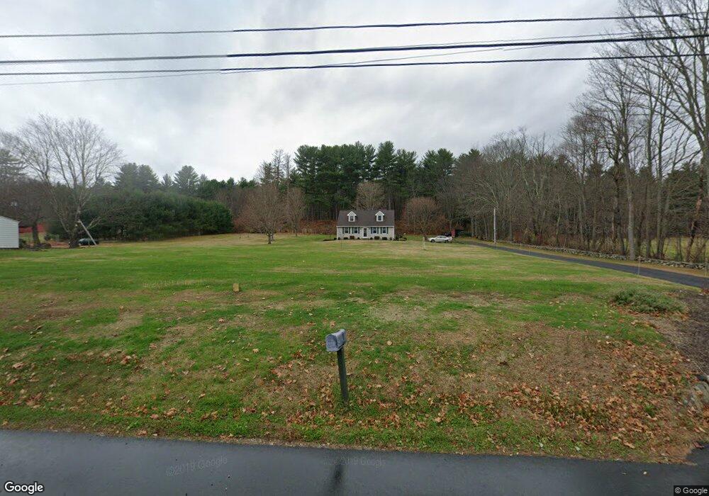
150 Boston Rd Palmer, MA 01069
Estimated Value: $422,000 - $477,000
3
Beds
2
Baths
1,960
Sq Ft
$228/Sq Ft
Est. Value
About This Home
This home is located at 150 Boston Rd, Palmer, MA 01069 and is currently estimated at $447,236, approximately $228 per square foot. 150 Boston Rd is a home located in Hampden County with nearby schools including Old Mill Pond Elementary School, Converse Middle School, and Palmer High School.
Ownership History
Date
Name
Owned For
Owner Type
Purchase Details
Closed on
Jun 7, 2011
Sold by
Rollet Jeffery S and Rollet Jeffrey S
Bought by
Rollet Kathleen M
Current Estimated Value
Purchase Details
Closed on
Mar 30, 2007
Sold by
Rollet Jeffery S and Rollet Kathleen M
Bought by
Rollet Kathleen M
Home Financials for this Owner
Home Financials are based on the most recent Mortgage that was taken out on this home.
Original Mortgage
$160,000
Interest Rate
6.33%
Mortgage Type
Purchase Money Mortgage
Create a Home Valuation Report for This Property
The Home Valuation Report is an in-depth analysis detailing your home's value as well as a comparison with similar homes in the area
Home Values in the Area
Average Home Value in this Area
Purchase History
| Date | Buyer | Sale Price | Title Company |
|---|---|---|---|
| Rollet Kathleen M | -- | -- | |
| Rollet Kathleen M | -- | -- |
Source: Public Records
Mortgage History
| Date | Status | Borrower | Loan Amount |
|---|---|---|---|
| Previous Owner | Rollet Kathleen M | $160,000 |
Source: Public Records
Tax History Compared to Growth
Tax History
| Year | Tax Paid | Tax Assessment Tax Assessment Total Assessment is a certain percentage of the fair market value that is determined by local assessors to be the total taxable value of land and additions on the property. | Land | Improvement |
|---|---|---|---|---|
| 2025 | $6,902 | $380,300 | $68,100 | $312,200 |
| 2024 | $6,447 | $345,300 | $62,000 | $283,300 |
| 2023 | $6,285 | $323,300 | $62,000 | $261,300 |
| 2022 | $5,977 | $279,300 | $54,500 | $224,800 |
| 2021 | $5,601 | $247,500 | $60,600 | $186,900 |
| 2020 | $5,406 | $237,100 | $60,600 | $176,500 |
| 2019 | $5,249 | $237,100 | $60,600 | $176,500 |
| 2018 | $5,085 | $230,300 | $58,900 | $171,400 |
| 2017 | $4,968 | $230,300 | $58,900 | $171,400 |
| 2016 | $4,799 | $225,600 | $57,200 | $168,400 |
| 2015 | $4,654 | $225,600 | $57,200 | $168,400 |
Source: Public Records
Map
Nearby Homes
- 36 Washington Rd
- 52 Washington Rd
- Lot 3 Washington Rd
- 190 Dunhamtown Palmer Rd
- 98 Mason St
- 135 Thompson St
- 7 Cedar Hill St
- 10 Willow Cir
- 1 Willow Cir
- 0 Flynt St
- 302 Boston Rd
- 60 Beech St
- 1415 Park St
- 0 Lyman Barnes Rd
- 11V Old Reed Rd
- 11 Allen St
- 1B Quaboag Valley Co Op St
- 207 Breckenridge St
- 160 Breckenridge St
- Lot 8 Breckenridge St
- 146 Boston Rd
- 140 Boston Rd Unit 144
- 142 Boston Rd
- 149 Boston Rd
- 145 Boston Rd
- 141 Boston Rd
- 139 Boston Rd
- 138 Boston Rd
- 131 Boston Rd
- 5 Kings Bridge Rd
- 129 Boston Rd
- 7 Kings Bridge Rd
- 128 Boston Rd
- 127 Boston Rd
- 10 Kings Bridge Rd
- 125 Boston Rd
- 41 Washington Rd
- 123 Boston Rd
- 4 Kings Bridge Rd
- 116 Boston Rd