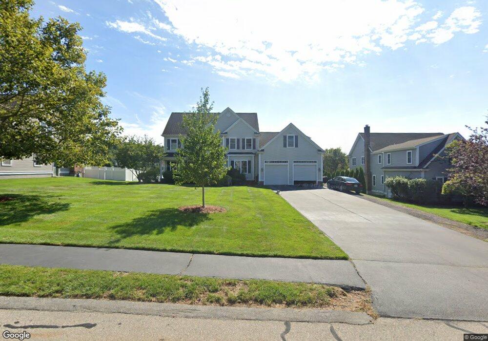
150 Pokanoket Path Wrentham, MA 02093
Estimated Value: $1,214,000 - $1,245,000
4
Beds
5
Baths
3,616
Sq Ft
$340/Sq Ft
Est. Value
About This Home
This home is located at 150 Pokanoket Path, Wrentham, MA 02093 and is currently estimated at $1,229,129, approximately $339 per square foot. 150 Pokanoket Path is a home located in Norfolk County with nearby schools including Delaney Elementary School and Charles E Roderick.
Ownership History
Date
Name
Owned For
Owner Type
Purchase Details
Closed on
Mar 24, 2004
Sold by
Diplacido Dev Corp
Bought by
Tartaglia Mary Jo and Tartaglia Robert R
Current Estimated Value
Home Financials for this Owner
Home Financials are based on the most recent Mortgage that was taken out on this home.
Original Mortgage
$305,000
Outstanding Balance
$142,344
Interest Rate
5.65%
Mortgage Type
Purchase Money Mortgage
Estimated Equity
$1,086,785
Create a Home Valuation Report for This Property
The Home Valuation Report is an in-depth analysis detailing your home's value as well as a comparison with similar homes in the area
Home Values in the Area
Average Home Value in this Area
Purchase History
| Date | Buyer | Sale Price | Title Company |
|---|---|---|---|
| Tartaglia Mary Jo | $639,900 | -- |
Source: Public Records
Mortgage History
| Date | Status | Borrower | Loan Amount |
|---|---|---|---|
| Open | Tartaglia Mary Jo | $305,000 |
Source: Public Records
Tax History Compared to Growth
Tax History
| Year | Tax Paid | Tax Assessment Tax Assessment Total Assessment is a certain percentage of the fair market value that is determined by local assessors to be the total taxable value of land and additions on the property. | Land | Improvement |
|---|---|---|---|---|
| 2025 | $12,249 | $1,056,900 | $301,800 | $755,100 |
| 2024 | $11,545 | $962,100 | $301,800 | $660,300 |
| 2023 | $11,957 | $947,500 | $274,300 | $673,200 |
| 2022 | $10,637 | $778,100 | $211,200 | $566,900 |
| 2021 | $10,448 | $742,600 | $221,200 | $521,400 |
| 2020 | $11,151 | $782,500 | $199,600 | $582,900 |
| 2019 | $10,885 | $770,900 | $214,900 | $556,000 |
| 2018 | $9,302 | $653,200 | $215,100 | $438,100 |
| 2017 | $9,074 | $636,800 | $211,000 | $425,800 |
| 2016 | $8,889 | $622,500 | $204,900 | $417,600 |
| 2015 | $9,078 | $606,000 | $197,000 | $409,000 |
| 2014 | $8,993 | $587,400 | $189,400 | $398,000 |
Source: Public Records
Map
Nearby Homes
- Lot 3 - 14 Earle Stewart Ln
- Lot 1 - Blueberry 2 Car Plan at King Philip Estates
- Lot 8 - Blueberry 2 Car Plan at King Philip Estates
- Lot 5 - Hughes 2 car Plan at King Philip Estates
- Lot 6 - Blueberry 3 Car Plan at King Philip Estates
- Lot 2 - Camden 2 Car Plan at King Philip Estates
- Lot 7 - Cedar Plan at King Philip Estates
- Lot 4 - Hemingway 2 Car Plan at King Philip Estates
- Lot 3 - Blueberry 2 Car Plan at King Philip Estates
- 11 Earle Stewart Ln
- 131 Creek St Unit 7
- 791 South St Unit 5
- 570 Franklin St
- 319 Taunton St
- 10 Nature View Dr
- 15 Nature View Dr
- 440 Chestnut St
- 155 Clark Rd Unit 155
- 270 Dedham St
- 1 Lorraine Metcalf Dr
- 160 Pokanoket Path
- 140 Pokanoket Path
- 130 Pokanoket Path
- 170 Pokanoket Path
- 30 Annawon Ave
- 20 Annawon Ave
- 40 Annawon Ave
- 155 Pokanoket Path
- 165 Pokanoket Path
- 10 Annawon Ave
- 120 Pokanoket Path
- 50 Annawon Ave
- 175 Pokanoket Path
- 145 Pokanoket Path
- 60 Annawon Ave
- 110 Pokanoket Path
- 135 Pokanoket Path
- 70 Annawon Ave
- 125 Pokanoket Path
- 90 Annawon Ave