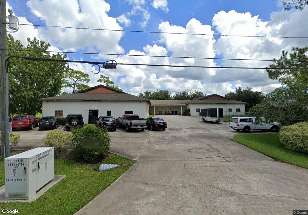
1501 Lexington Ave Deland, FL 32724
North DeLand NeighborhoodEstimated Value: $1,034,118
--
Bed
3
Baths
10,050
Sq Ft
$103/Sq Ft
Est. Value
About This Home
This home is located at 1501 Lexington Ave, Deland, FL 32724 and is currently estimated at $1,034,118, approximately $102 per square foot. 1501 Lexington Ave is a home located in Volusia County with nearby schools including Deland High School, George W. Marks Elementary School, and Deland Middle School.
Ownership History
Date
Name
Owned For
Owner Type
Purchase Details
Closed on
May 2, 2019
Sold by
Ruppert Norbert
Bought by
Workman Land Group Llc
Current Estimated Value
Home Financials for this Owner
Home Financials are based on the most recent Mortgage that was taken out on this home.
Original Mortgage
$516,000
Outstanding Balance
$451,816
Interest Rate
4%
Mortgage Type
Future Advance Clause Open End Mortgage
Estimated Equity
$582,302
Purchase Details
Closed on
Apr 15, 1990
Bought by
Ruppert Norbert
Purchase Details
Closed on
Sep 15, 1988
Bought by
Ruppert Norbert
Purchase Details
Closed on
Mar 15, 1984
Bought by
Ruppert Norbert
Create a Home Valuation Report for This Property
The Home Valuation Report is an in-depth analysis detailing your home's value as well as a comparison with similar homes in the area
Home Values in the Area
Average Home Value in this Area
Purchase History
| Date | Buyer | Sale Price | Title Company |
|---|---|---|---|
| Workman Land Group Llc | $645,000 | Westside Title Services Inc | |
| Ruppert Norbert | $1,700 | -- | |
| Ruppert Norbert | $100 | -- | |
| Ruppert Norbert | $70,000 | -- |
Source: Public Records
Mortgage History
| Date | Status | Borrower | Loan Amount |
|---|---|---|---|
| Open | Workman Land Group Llc | $516,000 |
Source: Public Records
Tax History Compared to Growth
Tax History
| Year | Tax Paid | Tax Assessment Tax Assessment Total Assessment is a certain percentage of the fair market value that is determined by local assessors to be the total taxable value of land and additions on the property. | Land | Improvement |
|---|---|---|---|---|
| 2025 | $8,570 | $527,021 | $65,364 | $461,657 |
| 2024 | $8,570 | $508,596 | $65,364 | $443,232 |
| 2023 | $8,570 | $475,614 | $65,364 | $410,250 |
| 2022 | $7,973 | $439,934 | $65,364 | $374,570 |
| 2021 | $7,631 | $371,479 | $49,023 | $322,456 |
| 2020 | $7,780 | $377,575 | $49,023 | $328,552 |
| 2019 | $6,495 | $358,911 | $49,023 | $309,888 |
| 2018 | $5,719 | $257,179 | $49,023 | $208,156 |
| 2017 | $5,360 | $229,850 | $40,853 | $188,997 |
| 2016 | $4,968 | $216,277 | $0 | $0 |
| 2015 | -- | $207,269 | $0 | $0 |
| 2014 | -- | $207,123 | $0 | $0 |
Source: Public Records
Map
Nearby Homes
- TBD E International Speedway Blvd
- 913 Lake Lindley Dr N
- 147 Rip Cord Ln
- 0 E International Speedway Blvd
- 1403 Island Cove Dr
- 1410 Heather Glen Dr
- 1300 Benton Lake Dr E
- 1401 Hendren Dr
- 1618 Palm Ave
- 1103 Lindley Cove Cir
- 1150 Orangewood Ave
- 1702 Palmetto Ave
- 0 Newport Ave
- 1 Smith Ct
- 2324 Lake Talmadge Dr
- 915 Marlboro Dr
- 516 Grace Ave
- 907 Marlboro Dr
- 1580 1st Ave
- 717 E Grove Place
- 1511 Lexington Ave Deland 32 Ave
- 1511 Lexington Ave
- 1511 Lexington Ave Unit 1
- 1301 Lexington Ave Unit B
- 1301 Yorktown St Unit B
- 1301 Yorktown St
- 1310 Yorktown St
- 1560 Lexington Ave
- 1370 Saratoga St
- 1320 Yorktown St
- 1412 Intrepid Dr
- 1416 Intrepid Dr
- 1711 Ranger Ave
- 1260 Biscayne Blvd
- 1704 Langley Ave
- 1702 Langley Ave
- 1720 Ranger Ave
- 1335 Saratoga St
- 1241 Biscayne Blvd
- 1730 Langley Ave