15029 Old Ridge Rd Beaverdam, VA 23015
Estimated Value: $466,000 - $623,000
4
Beds
3
Baths
3,123
Sq Ft
$177/Sq Ft
Est. Value
About This Home
This home is located at 15029 Old Ridge Rd, Beaverdam, VA 23015 and is currently estimated at $551,335, approximately $176 per square foot. 15029 Old Ridge Rd is a home located in Hanover County with nearby schools including Beaverdam Elementary School, Liberty Middle School, and Patrick Henry High School.
Ownership History
Date
Name
Owned For
Owner Type
Purchase Details
Closed on
Dec 2, 2009
Sold by
Miller Matthew S L
Bought by
Davis John M
Current Estimated Value
Purchase Details
Closed on
Sep 4, 2002
Sold by
Aderhold David G
Bought by
Miller Matthew S
Home Financials for this Owner
Home Financials are based on the most recent Mortgage that was taken out on this home.
Original Mortgage
$129,000
Interest Rate
6.48%
Create a Home Valuation Report for This Property
The Home Valuation Report is an in-depth analysis detailing your home's value as well as a comparison with similar homes in the area
Home Values in the Area
Average Home Value in this Area
Purchase History
| Date | Buyer | Sale Price | Title Company |
|---|---|---|---|
| Davis John M | $289,950 | -- | |
| Miller Matthew S | $172,000 | -- |
Source: Public Records
Mortgage History
| Date | Status | Borrower | Loan Amount |
|---|---|---|---|
| Previous Owner | Miller Matthew S | $129,000 |
Source: Public Records
Tax History Compared to Growth
Tax History
| Year | Tax Paid | Tax Assessment Tax Assessment Total Assessment is a certain percentage of the fair market value that is determined by local assessors to be the total taxable value of land and additions on the property. | Land | Improvement |
|---|---|---|---|---|
| 2025 | $3,144 | $388,200 | $120,100 | $268,100 |
| 2024 | $3,144 | $388,200 | $120,100 | $268,100 |
| 2023 | $2,900 | $376,600 | $117,200 | $259,400 |
| 2022 | $2,719 | $335,700 | $95,500 | $240,200 |
| 2021 | $2,487 | $307,000 | $85,800 | $221,200 |
| 2020 | $2,487 | $307,000 | $85,800 | $221,200 |
| 2019 | $2,286 | $282,200 | $84,800 | $197,400 |
| 2018 | $2,286 | $282,200 | $84,800 | $197,400 |
| 2017 | $2,286 | $282,200 | $84,800 | $197,400 |
| 2016 | $2,131 | $263,100 | $81,800 | $181,300 |
| 2015 | $2,131 | $263,100 | $81,800 | $181,300 |
| 2014 | $2,131 | $263,100 | $81,800 | $181,300 |
Source: Public Records
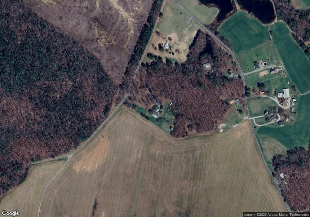
Map
Nearby Homes
- 17471 Hewlett Rd
- 17561 Hewlett Rd
- 17133 Katy Ln
- 16889 Watchman Way
- 16866 Sheppards Fold Way
- 16860 Sheppards Fold Way
- 16044 Parsons Rd
- 16855 Sheppards Fold Way
- 16853 Sheppards Fold Way
- 15520 Mount Air Ct
- 16850 Sheppards Fold Way
- 16852 Sheppards Fold Way
- 16851 Sheppards Fold Way
- 16884 Watchman Way
- 16877 Watchman Way
- Roanoke Plan at Sheppards Fold
- The Jemma Plan at Sheppards Fold
- Colfax Plan at Sheppards Fold
- Davidson Plan at Sheppards Fold
- The Pennington Plan at Sheppards Fold
- 15015 Old Ridge Rd
- 17175 Coatesville Rd
- 17170 Coatesville Rd
- 17178 Coatesville Rd
- 17152 Coatesville Rd
- 17122 Coatesville Rd
- 17259 Teman Rd
- 14515 Old Ridge Rd
- 14536 Old Ridge Rd
- 14526 Old Ridge Rd
- 14402 Edgewood Farm Ln
- 14500 Old Ridge Rd
- 17082 Coatesville Rd
- 17061 Coatesville Rd
- 14410 Edgewood Farm Ln
- 17104 Annfield Rd
- 14473 Old Ridge Rd
- 17040 Coatesville Rd
- 14482 Old Ridge Rd
- 17030 Coatesville Rd