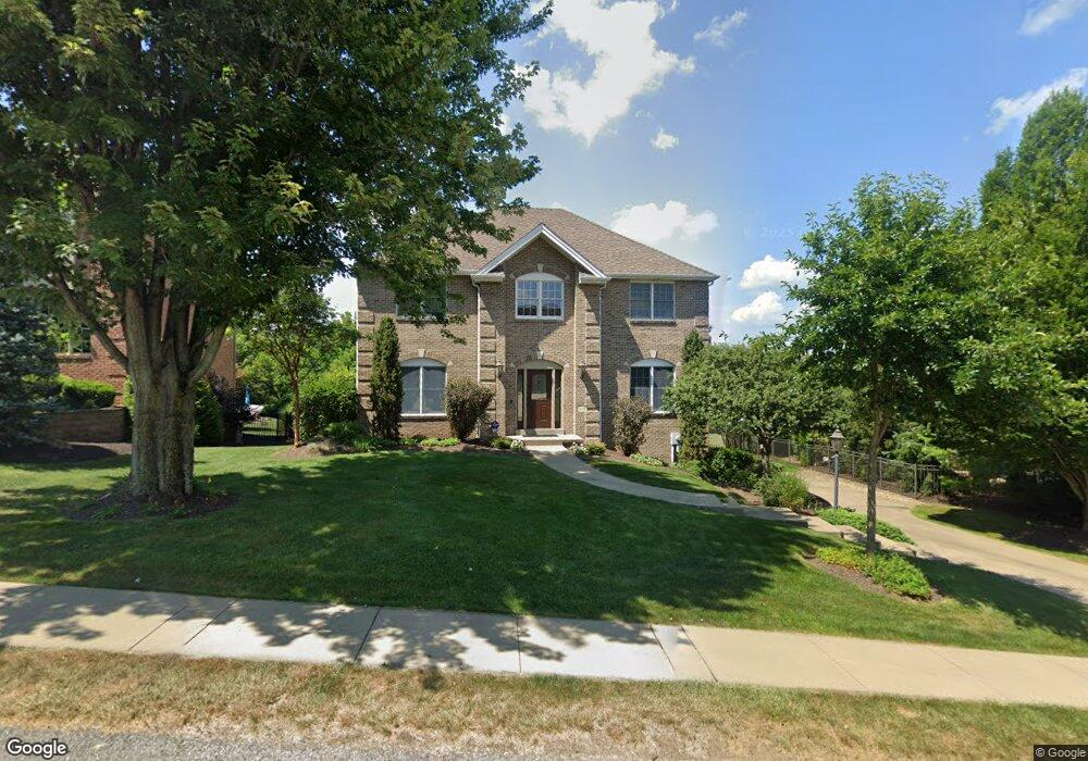
1505 Network Dr Canonsburg, PA 15317
Estimated Value: $594,000 - $646,000
4
Beds
3
Baths
2,340
Sq Ft
$262/Sq Ft
Est. Value
About This Home
This home is located at 1505 Network Dr, Canonsburg, PA 15317 and is currently estimated at $613,268, approximately $262 per square foot. 1505 Network Dr is a home located in Washington County with nearby schools including Canon-Mcmillan Senior High School.
Ownership History
Date
Name
Owned For
Owner Type
Purchase Details
Closed on
Jul 23, 2002
Sold by
Graziani William
Bought by
Witkowski Jeffrey B
Current Estimated Value
Home Financials for this Owner
Home Financials are based on the most recent Mortgage that was taken out on this home.
Original Mortgage
$254,650
Outstanding Balance
$108,104
Interest Rate
6.73%
Estimated Equity
$505,164
Create a Home Valuation Report for This Property
The Home Valuation Report is an in-depth analysis detailing your home's value as well as a comparison with similar homes in the area
Home Values in the Area
Average Home Value in this Area
Purchase History
| Date | Buyer | Sale Price | Title Company |
|---|---|---|---|
| Witkowski Jeffrey B | $55,000 | -- |
Source: Public Records
Mortgage History
| Date | Status | Borrower | Loan Amount |
|---|---|---|---|
| Open | Witkowski Jeffrey B | $254,650 |
Source: Public Records
Tax History Compared to Growth
Tax History
| Year | Tax Paid | Tax Assessment Tax Assessment Total Assessment is a certain percentage of the fair market value that is determined by local assessors to be the total taxable value of land and additions on the property. | Land | Improvement |
|---|---|---|---|---|
| 2025 | $6,567 | $390,000 | $105,600 | $284,400 |
| 2024 | $6,213 | $390,000 | $105,600 | $284,400 |
| 2023 | $6,213 | $390,000 | $105,600 | $284,400 |
| 2022 | $6,194 | $390,000 | $105,600 | $284,400 |
| 2021 | $6,194 | $390,000 | $105,600 | $284,400 |
| 2020 | $6,076 | $390,000 | $105,600 | $284,400 |
| 2019 | $5,979 | $390,000 | $105,600 | $284,400 |
| 2018 | $5,858 | $390,000 | $105,600 | $284,400 |
| 2017 | $935 | $390,000 | $105,600 | $284,400 |
| 2016 | $935 | $37,550 | $7,147 | $30,403 |
| 2015 | $615 | $37,550 | $7,147 | $30,403 |
| 2014 | $935 | $37,550 | $7,147 | $30,403 |
| 2013 | $935 | $37,550 | $7,147 | $30,403 |
Source: Public Records
Map
Nearby Homes
- 1037 Skyline Dr
- 1041 Skyline Dr
- 1033 Skyline Dr
- 1065 Skyline Dr
- 1272 Mcewen Rd
- 1582 Network Dr
- 1382 Lucia Dr
- 214 Hooks Ln
- 1163 Mcewen Ave
- 510 Panorama Dr
- 29 Virginia Ln
- 520 Panorama Dr
- 209 Joseph Dr
- 9 Puskar Ln
- 1116 Martin Dr
- 718 Gladden Rd
- 4084 Overview Dr
- 3016 Brookstone Dr
- 1021 Coldstream Dr
- 3029 Brookstone Dr
- 1501 Network Dr
- 1005 Buck Run Rd
- 1001 Buck Run Rd
- 1009 Buck Run Rd
- 1497 Network Dr
- 1508 Network Dr
- 1492 Network Dr
- 1013 Buck Run Rd
- 1013 Buck Run Rd
- 1008 Buck Run Rd
- 1004 Skyline Dr
- 1512 Network Dr
- 1008 Skyline Dr
- 922 Skyline Dr
- 928 Skyline Dr
- 930 Skyline Dr
- 926 Skyline Dr
- 924 Skyline Dr
- 932 Skyline Dr
- 914 Skyline Dr