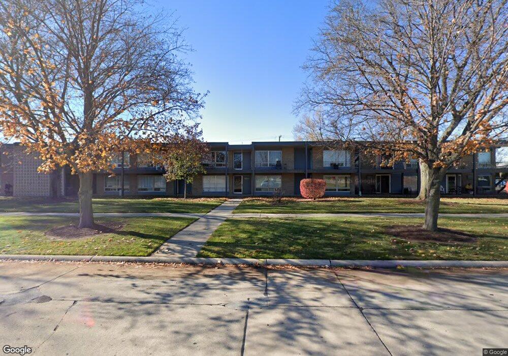
15055 Hubbard St Unit 29 Livonia, MI 48154
Estimated Value: $119,000 - $323,000
2
Beds
1
Bath
766
Sq Ft
$233/Sq Ft
Est. Value
About This Home
This home is located at 15055 Hubbard St Unit 29, Livonia, MI 48154 and is currently estimated at $178,583, approximately $233 per square foot. 15055 Hubbard St Unit 29 is a home located in Wayne County with nearby schools including Kennedy Elementary School, Johnson Upper Elementary School, and Frost Middle School.
Ownership History
Date
Name
Owned For
Owner Type
Purchase Details
Closed on
Dec 14, 2023
Sold by
Hand Barbara M
Bought by
Hand William and Hand Barbara M
Current Estimated Value
Purchase Details
Closed on
Nov 14, 2016
Sold by
Janda David B
Bought by
Gearin Paula M
Home Financials for this Owner
Home Financials are based on the most recent Mortgage that was taken out on this home.
Original Mortgage
$107,346
Interest Rate
4.4%
Mortgage Type
FHA
Create a Home Valuation Report for This Property
The Home Valuation Report is an in-depth analysis detailing your home's value as well as a comparison with similar homes in the area
Home Values in the Area
Average Home Value in this Area
Purchase History
| Date | Buyer | Sale Price | Title Company |
|---|---|---|---|
| Hand William | -- | None Listed On Document | |
| Hand William | -- | None Listed On Document | |
| Gearin Paula M | $139,000 | First American Title Ins Co |
Source: Public Records
Mortgage History
| Date | Status | Borrower | Loan Amount |
|---|---|---|---|
| Previous Owner | Gearin Paula M | $107,346 |
Source: Public Records
Tax History Compared to Growth
Tax History
| Year | Tax Paid | Tax Assessment Tax Assessment Total Assessment is a certain percentage of the fair market value that is determined by local assessors to be the total taxable value of land and additions on the property. | Land | Improvement |
|---|---|---|---|---|
| 2025 | $651 | $58,400 | $0 | $0 |
| 2024 | $651 | $54,100 | $0 | $0 |
| 2023 | $619 | $46,900 | $0 | $0 |
| 2022 | $1,114 | $40,900 | $0 | $0 |
| 2021 | $1,081 | $38,000 | $0 | $0 |
| 2019 | $1,040 | $32,600 | $0 | $0 |
| 2018 | $528 | $25,300 | $0 | $0 |
| 2017 | $964 | $22,100 | $0 | $0 |
| 2016 | $995 | $19,400 | $0 | $0 |
| 2015 | $1,677 | $17,580 | $0 | $0 |
| 2012 | -- | $19,680 | $4,000 | $15,680 |
Source: Public Records
Map
Nearby Homes
- 15075 Hubbard St Unit 5
- 14879 Fairfield St
- 32651 5 Mile Rd Unit 15
- 15040 Berwick St
- 32136 Lyndon St
- 14677 Auburndale St
- 14563 Melrose St
- 33040 Allen St
- 15600 Auburndale St
- 33025 Martin St
- 14214 Cranston St
- 32950 Perth St
- 15873 Shadyside Dr
- 14327 Arden St
- 31221 Lyndon St
- 31005 Roycroft St
- 31126 Grennada St
- 15345 Bainbridge St
- 15709 Stamford St
- 14292 Hubbell St
- 15055 Hubbard St Unit 35
- 15055 Hubbard St Unit 24
- 15055 Hubbard St Unit 19
- 15055 Hubbard St Unit 34
- 15055 Hubbard St Unit 26
- 15055 Hubbard St Unit 30
- 15055 Hubbard St Unit 20
- 15055 Hubbard St Unit 36
- 15055 Hubbard St Unit 33
- 15055 Hubbard St Unit 32
- 15055 Hubbard St Unit 31
- 15055 Hubbard St Unit 28
- 15055 Hubbard St Unit 25
- 15055 Hubbard St Unit 23
- 15055 Hubbard St Unit 22
- 15055 Hubbard St Unit 21
- 15055 Hubbard St Unit 2 23
- 15055 Hubbard St Unit 2, 22
- 15055 Hubbard St
- 15055 Hubbard St Unit 2 30