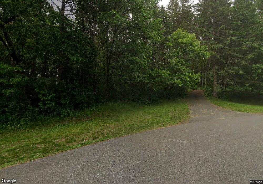
15065 Park Dr Dayton, MN 55327
Estimated Value: $402,612 - $466,000
3
Beds
2
Baths
2,661
Sq Ft
$165/Sq Ft
Est. Value
About This Home
This home is located at 15065 Park Dr, Dayton, MN 55327 and is currently estimated at $438,403, approximately $164 per square foot. 15065 Park Dr is a home located in Hennepin County with nearby schools including Hassan Elementary School, Rogers Middle School, and Rogers Senior High School.
Ownership History
Date
Name
Owned For
Owner Type
Purchase Details
Closed on
Nov 30, 2020
Sold by
Jarvis Garret R and Jarvis Merrilee C
Bought by
John Megan L and John Derek
Current Estimated Value
Home Financials for this Owner
Home Financials are based on the most recent Mortgage that was taken out on this home.
Original Mortgage
$315,400
Outstanding Balance
$280,800
Interest Rate
2.7%
Mortgage Type
New Conventional
Estimated Equity
$157,603
Create a Home Valuation Report for This Property
The Home Valuation Report is an in-depth analysis detailing your home's value as well as a comparison with similar homes in the area
Home Values in the Area
Average Home Value in this Area
Purchase History
| Date | Buyer | Sale Price | Title Company |
|---|---|---|---|
| John Megan L | $332,000 | Results Title | |
| St | $332,000 | -- |
Source: Public Records
Mortgage History
| Date | Status | Borrower | Loan Amount |
|---|---|---|---|
| Open | John Megan L | $315,400 | |
| Closed | St | $315,400 |
Source: Public Records
Tax History Compared to Growth
Tax History
| Year | Tax Paid | Tax Assessment Tax Assessment Total Assessment is a certain percentage of the fair market value that is determined by local assessors to be the total taxable value of land and additions on the property. | Land | Improvement |
|---|---|---|---|---|
| 2024 | $4,457 | $348,100 | $69,300 | $278,800 |
| 2023 | $4,317 | $347,200 | $66,000 | $281,200 |
| 2022 | $3,358 | $334,000 | $66,000 | $268,000 |
| 2021 | $3,261 | $252,000 | $44,000 | $208,000 |
| 2020 | $3,420 | $244,000 | $44,000 | $200,000 |
| 2019 | $3,041 | $243,000 | $50,000 | $193,000 |
| 2018 | $2,824 | $235,000 | $46,000 | $189,000 |
| 2017 | $2,800 | $207,000 | $50,000 | $157,000 |
| 2016 | $2,591 | $190,000 | $44,000 | $146,000 |
| 2015 | $2,537 | $180,000 | $44,000 | $136,000 |
| 2014 | -- | $164,000 | $44,000 | $120,000 |
Source: Public Records
Map
Nearby Homes
- 5201 Ramier Ave NE
- 17760 54th St NE
- Clearwater Plan at River Pointe - The Meadows of River Pointe
- Lewis Plan at River Pointe - The Meadows of River Pointe
- Bristol Plan at River Pointe - The Meadows of River Pointe
- Sinclair Plan at River Pointe - The Meadows of River Pointe
- Springfield Plan at River Pointe - The Meadows of River Pointe
- Vanderbilt Plan at River Pointe - The Meadows of River Pointe
- 17696 59th St NE
- 17552 57th St NE
- 5998 Rathbun Ave NE
- 14325 Brockton Ln
- 5945 Ranger Ave NE
- 19700 Pembrook Cir
- 14520 Edgewood Rd
- The Foster Plan at Anna's Acres
- The Water Stone Plan at Anna's Acres
- The Mulbery Plan at Anna's Acres
- The Rockport Plan at Anna's Acres
- The Newport Plan at Anna's Acres
- 15067 Scenic Dr
- 15050 Crow River Dr
- 15063 Park Dr
- 15072 Scenic Dr
- 15051 Brockton Ln N
- 15074 Scenic Dr
- 15010 Crow River Dr
- 15088 Park Dr
- 15055 Crow River Dr
- 19100 Evergreen Ln N
- 15076 Scenic Dr
- 15121 Brockton Ln N
- 15069 Scenic Dr
- 15080 Scenic Dr
- 14915 Brockton Ln N
- 14945 Crow River Dr
- 14930 Crow River Dr
- 15071 Scenic Dr
- 15071 15071 Scenic-Drive-
- 15120 Park Dr
