15075 Ridge Rd Waynesboro, PA 17268
Estimated Value: $87,591 - $229,000
--
Bed
--
Bath
864
Sq Ft
$192/Sq Ft
Est. Value
About This Home
This home is located at 15075 Ridge Rd, Waynesboro, PA 17268 and is currently estimated at $165,898, approximately $192 per square foot. 15075 Ridge Rd is a home located in Franklin County with nearby schools including Greencastle-Antrim Primary School, Greencastle-Antrim Elementary School, and Greencastle-Antrim Middle School.
Ownership History
Date
Name
Owned For
Owner Type
Purchase Details
Closed on
Mar 3, 2025
Sold by
Ditch Kay Ruth and Ditch Benjamin C
Bought by
Ditch Benjamin C
Current Estimated Value
Purchase Details
Closed on
Oct 26, 2005
Sold by
Keefer Leslie and Keefer Brian J
Bought by
Ditch Kay R
Home Financials for this Owner
Home Financials are based on the most recent Mortgage that was taken out on this home.
Original Mortgage
$100,000
Interest Rate
6.06%
Mortgage Type
New Conventional
Create a Home Valuation Report for This Property
The Home Valuation Report is an in-depth analysis detailing your home's value as well as a comparison with similar homes in the area
Home Values in the Area
Average Home Value in this Area
Purchase History
| Date | Buyer | Sale Price | Title Company |
|---|---|---|---|
| Ditch Benjamin C | -- | None Listed On Document | |
| Ditch Kay R | $172,000 | None Available |
Source: Public Records
Mortgage History
| Date | Status | Borrower | Loan Amount |
|---|---|---|---|
| Previous Owner | Ditch Kay R | $100,000 |
Source: Public Records
Tax History Compared to Growth
Tax History
| Year | Tax Paid | Tax Assessment Tax Assessment Total Assessment is a certain percentage of the fair market value that is determined by local assessors to be the total taxable value of land and additions on the property. | Land | Improvement |
|---|---|---|---|---|
| 2025 | $1,753 | $10,480 | $600 | $9,880 |
| 2024 | $1,591 | $10,480 | $600 | $9,880 |
| 2023 | $1,572 | $10,480 | $600 | $9,880 |
| 2022 | $1,572 | $10,480 | $600 | $9,880 |
| 2021 | $1,541 | $10,480 | $600 | $9,880 |
| 2020 | $1,501 | $10,480 | $600 | $9,880 |
| 2019 | $1,467 | $10,480 | $600 | $9,880 |
| 2018 | $1,451 | $10,480 | $600 | $9,880 |
| 2017 | $1,415 | $10,480 | $600 | $9,880 |
| 2016 | $300 | $10,480 | $600 | $9,880 |
| 2015 | $280 | $10,480 | $600 | $9,880 |
| 2014 | $280 | $10,480 | $600 | $9,880 |
Source: Public Records
Map
Nearby Homes
- 1031 Dianne Dr
- 1033 Dianne Dr
- 14732 Cedarbrook Dr
- 15621 Oak Rd
- 14799 Cedarbrook Dr
- Lot C3-2 Cedarbrook Dr
- Lot C3-1 Cedarbrook Dr
- 128 Hykes Rd E
- 110 Hykes Rd E
- 14501 Molly Pitcher Hwy
- 15444 Pennsylvania Ave
- 171 East Ave
- 684 Dresden Cir
- 15480 Wedgewood Dr
- 226 Milnor Rd
- 0 Hykes Rd
- 642 Milnor Rd
- 1700 Mcdowell Rd
- 0 Molly Pitcher Hwy Unit PAFL178468
- 0 Molly Pitcher Hwy Unit PAFL2030380
- 15103 Ridge Rd
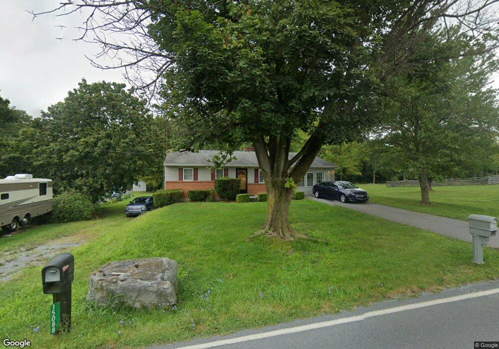
- 15088 Ridge Rd
- 15117 Ridge Rd
- 15114 Ridge Rd
- 15112 Ridge Rd
- 15112 N Ridge Ave
- 15027 Ridge Rd
- 14969 Ridge Rd
- 14954 Ridge Rd
- 15238 Ridge Rd
- 15254 Ridge Rd
- 14948 Ridge Rd
- 15282 Ridge Rd
- 14921 Ridge Rd
- 14854 Ridge Rd
- 11171 Katie Ln
- 11143 Katie Ln
- 11134 Katie Ln
- 15296 Ridge Rd
- 11171 Katie Ln