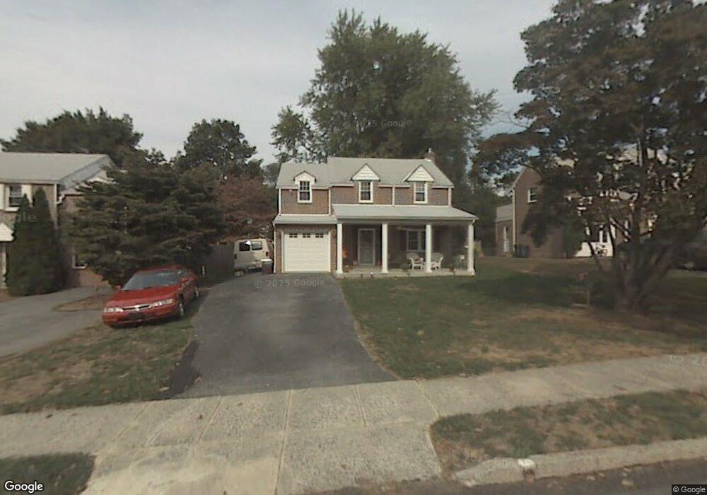
151 Treaty Rd Drexel Hill, PA 19026
Estimated Value: $479,000 - $516,000
3
Beds
3
Baths
1,991
Sq Ft
$251/Sq Ft
Est. Value
About This Home
This home is located at 151 Treaty Rd, Drexel Hill, PA 19026 and is currently estimated at $499,899, approximately $251 per square foot. 151 Treaty Rd is a home located in Delaware County with nearby schools including Manoa Elementary School, Haverford Middle School, and Haverford Senior High School.
Ownership History
Date
Name
Owned For
Owner Type
Purchase Details
Closed on
Mar 14, 2003
Sold by
Tanenbaum Alan and Tanenbaum Theresa
Bought by
Dougherty Charles J
Current Estimated Value
Purchase Details
Closed on
Jun 28, 1995
Sold by
Buildings Professional Inc
Bought by
Tanenbaum Alan and Tanenbaum Theresa
Home Financials for this Owner
Home Financials are based on the most recent Mortgage that was taken out on this home.
Original Mortgage
$125,200
Interest Rate
7.84%
Purchase Details
Closed on
Nov 29, 1994
Sold by
Bruce William D and Mellon Bank N A
Bought by
Buildings Professional Inc
Create a Home Valuation Report for This Property
The Home Valuation Report is an in-depth analysis detailing your home's value as well as a comparison with similar homes in the area
Home Values in the Area
Average Home Value in this Area
Purchase History
| Date | Buyer | Sale Price | Title Company |
|---|---|---|---|
| Dougherty Charles J | $215,000 | -- | |
| Tanenbaum Alan | $156,500 | Commonwealth Land Title Ins | |
| Buildings Professional Inc | $106,000 | Commonwealth Land Title Ins |
Source: Public Records
Mortgage History
| Date | Status | Borrower | Loan Amount |
|---|---|---|---|
| Previous Owner | Tanenbaum Alan | $125,200 |
Source: Public Records
Tax History Compared to Growth
Tax History
| Year | Tax Paid | Tax Assessment Tax Assessment Total Assessment is a certain percentage of the fair market value that is determined by local assessors to be the total taxable value of land and additions on the property. | Land | Improvement |
|---|---|---|---|---|
| 2025 | $8,303 | $322,920 | $98,010 | $224,910 |
| 2024 | $8,303 | $322,920 | $98,010 | $224,910 |
| 2023 | $8,067 | $322,920 | $98,010 | $224,910 |
| 2022 | $7,879 | $322,920 | $98,010 | $224,910 |
| 2021 | $12,835 | $322,920 | $98,010 | $224,910 |
| 2020 | $7,558 | $162,610 | $51,940 | $110,670 |
| 2019 | $7,418 | $162,610 | $51,940 | $110,670 |
| 2018 | $7,291 | $162,610 | $0 | $0 |
| 2017 | $7,137 | $162,610 | $0 | $0 |
| 2016 | $892 | $162,610 | $0 | $0 |
| 2015 | $911 | $162,610 | $0 | $0 |
| 2014 | $892 | $162,610 | $0 | $0 |
Source: Public Records
Map
Nearby Homes
- 141 Friendship Rd
- 181 Friendship Rd
- 505 Glendale Rd
- 2223 Steele Rd
- 2216 Steele Rd
- 541 Glendale Rd
- 1372 Dermond Rd
- 5053 Sylvia Rd
- 5042 Sylvia Rd
- 1232 Steel Rd
- 1208 Belfield Ave
- 736 Timber Trail Ln
- 400 Glendale Rd Unit K52
- 658 W Rolling Rd
- 555 Grand Ave
- 334 Francis Dr
- 333 Sussex Blvd
- 635 Grand Ave
- 1102 Childs Ave
- 1005 Belfield Ave