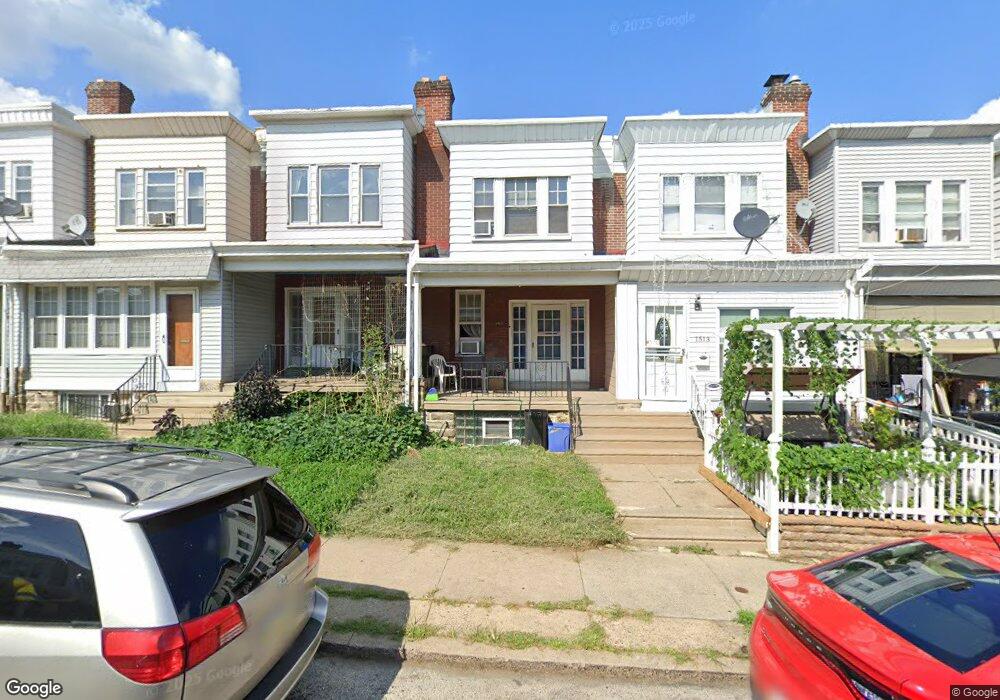
1511 Rosalie St Philadelphia, PA 19149
Mayfair NeighborhoodEstimated Value: $182,000 - $202,544
3
Beds
1
Bath
1,120
Sq Ft
$175/Sq Ft
Est. Value
About This Home
This home is located at 1511 Rosalie St, Philadelphia, PA 19149 and is currently estimated at $195,636, approximately $174 per square foot. 1511 Rosalie St is a home located in Philadelphia County with nearby schools including Ziegler William H School, Frankford High School, and The Philadelphia Charter School for the Arts & Sciences.
Ownership History
Date
Name
Owned For
Owner Type
Purchase Details
Closed on
Apr 28, 2000
Sold by
Olsen Thomas D
Bought by
Carrigan William J and Carrigan Helen
Current Estimated Value
Home Financials for this Owner
Home Financials are based on the most recent Mortgage that was taken out on this home.
Original Mortgage
$45,325
Interest Rate
8.12%
Mortgage Type
FHA
Create a Home Valuation Report for This Property
The Home Valuation Report is an in-depth analysis detailing your home's value as well as a comparison with similar homes in the area
Home Values in the Area
Average Home Value in this Area
Purchase History
| Date | Buyer | Sale Price | Title Company |
|---|---|---|---|
| Carrigan William J | $44,890 | -- |
Source: Public Records
Mortgage History
| Date | Status | Borrower | Loan Amount |
|---|---|---|---|
| Previous Owner | Carrigan William J | $45,325 |
Source: Public Records
Tax History Compared to Growth
Tax History
| Year | Tax Paid | Tax Assessment Tax Assessment Total Assessment is a certain percentage of the fair market value that is determined by local assessors to be the total taxable value of land and additions on the property. | Land | Improvement |
|---|---|---|---|---|
| 2026 | $1,818 | $166,500 | $33,300 | $133,200 |
| 2025 | $1,818 | $166,500 | $33,300 | $133,200 |
| 2024 | $1,818 | $166,500 | $33,300 | $133,200 |
| 2023 | $1,818 | $129,900 | $25,980 | $103,920 |
| 2022 | $724 | $84,900 | $25,980 | $58,920 |
| 2021 | $1,354 | $0 | $0 | $0 |
| 2020 | $1,354 | $0 | $0 | $0 |
| 2019 | $1,299 | $0 | $0 | $0 |
| 2018 | $1,403 | $0 | $0 | $0 |
| 2017 | $1,403 | $0 | $0 | $0 |
| 2016 | $983 | $0 | $0 | $0 |
| 2015 | $941 | $0 | $0 | $0 |
| 2014 | -- | $100,200 | $16,727 | $83,473 |
| 2012 | -- | $12,768 | $1,272 | $11,496 |
Source: Public Records
Map
Nearby Homes
- 1431 Rosalie St
- 1530 Van Kirk St
- 5451 Oakland St
- 5828 Akron St
- 1244 E Sanger St
- 5347 Sylvester St
- 5823 Akron St
- 5422 Akron St
- 5431 Akron St
- 1613 Van Kirk St
- 5844 Saul St
- 1622 E Howell St
- 7753 E Roosevelt Blvd
- 5345 Akron St
- 6005 Horrocks St
- 1137 Bridge St
- 5407 Saul St
- 7600 E Roosevelt Blvd Unit 206
- 7600 E Roosevelt Blvd Unit 212
- 7600 E Roosevelt Blvd Unit 909
- 1513 Rosalie St
- 1509 Rosalie St
- 1515 Rosalie St
- 1507 Rosalie St
- 1517 Rosalie St
- 1505 Rosalie St
- 1519 Rosalie St
- 1503 Rosalie St
- 1521 Rosalie St
- 1501 Rosalie St
- 1523 Rosalie St
- 1512 Alcott St
- 1508 Alcott St
- 1510 Alcott St
- 1525 Rosalie St
- 1506 Alcott St
- 1514 Alcott St
- 1516 Alcott St
- 1504 Alcott St
- 1518 Alcott St