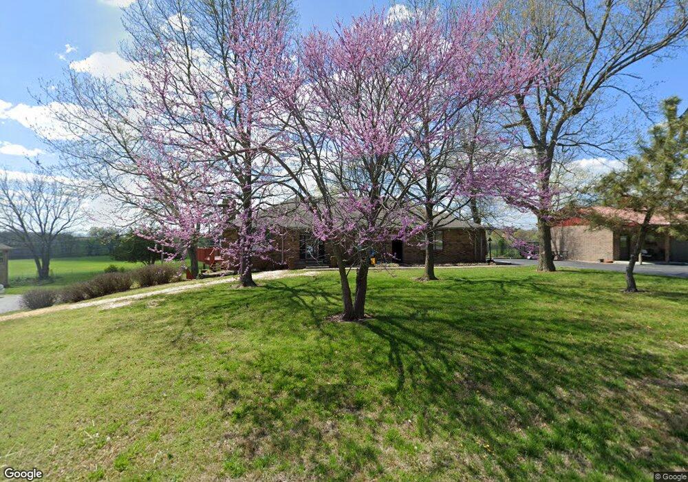
1511 S Fairwood Ave Springfield, MO 65809
Southeast Springfield NeighborhoodEstimated Value: $424,000 - $456,000
4
Beds
4
Baths
3,132
Sq Ft
$139/Sq Ft
Est. Value
About This Home
This home is located at 1511 S Fairwood Ave, Springfield, MO 65809 and is currently estimated at $436,593, approximately $139 per square foot. 1511 S Fairwood Ave is a home located in Greene County with nearby schools including Hickory Hills K-8 School and Glendale High School.
Ownership History
Date
Name
Owned For
Owner Type
Purchase Details
Closed on
Oct 21, 2014
Sold by
Mulhall Michael B and Mulhall Cynthia L
Bought by
Boehne Gerald and Boehne Mary
Current Estimated Value
Purchase Details
Closed on
Jun 29, 2005
Sold by
Odom Alfred and Odom Sarah
Bought by
Mulhall Michael B and Mulhall Cynthia
Home Financials for this Owner
Home Financials are based on the most recent Mortgage that was taken out on this home.
Original Mortgage
$159,000
Interest Rate
5.67%
Mortgage Type
Purchase Money Mortgage
Create a Home Valuation Report for This Property
The Home Valuation Report is an in-depth analysis detailing your home's value as well as a comparison with similar homes in the area
Home Values in the Area
Average Home Value in this Area
Purchase History
| Date | Buyer | Sale Price | Title Company |
|---|---|---|---|
| Boehne Gerald | -- | None Available | |
| Mulhall Michael B | -- | None Available |
Source: Public Records
Mortgage History
| Date | Status | Borrower | Loan Amount |
|---|---|---|---|
| Previous Owner | Mulhall Michael B | $159,000 |
Source: Public Records
Tax History Compared to Growth
Tax History
| Year | Tax Paid | Tax Assessment Tax Assessment Total Assessment is a certain percentage of the fair market value that is determined by local assessors to be the total taxable value of land and additions on the property. | Land | Improvement |
|---|---|---|---|---|
| 2025 | $2,628 | $51,170 | $6,350 | $44,820 |
| 2024 | $2,628 | $47,200 | $6,350 | $40,850 |
| 2023 | $2,496 | $47,200 | $6,350 | $40,850 |
| 2022 | $2,359 | $43,460 | $6,350 | $37,110 |
| 2021 | $2,359 | $43,460 | $6,350 | $37,110 |
| 2020 | $2,302 | $40,440 | $6,350 | $34,090 |
| 2019 | $2,238 | $40,440 | $6,350 | $34,090 |
| 2018 | $2,172 | $39,260 | $6,350 | $32,910 |
| 2017 | $2,151 | $31,700 | $6,350 | $25,350 |
| 2016 | $1,737 | $31,700 | $6,350 | $25,350 |
| 2015 | $1,724 | $31,700 | $6,350 | $25,350 |
| 2014 | $1,549 | $29,680 | $6,350 | $23,330 |
Source: Public Records
Map
Nearby Homes
- 1410 S Briar Ave
- 5757 E Meadowmere St
- 1318 S Farm Road 205
- 1950 S Farm Road 199
- Lot 12 S Markham Ct
- 5854 E Sumac Ln
- 000 S Farm Road 197
- 4833 E Eastmoor St
- 927 S Farm Road 197
- 5295 E Farm Road 138
- 2149 S Cedar Hill Ave
- Tract 3 S Farm Road 199
- 4681 E Stonebrook Ct
- 2173 S Pin Oak Dr
- 608 S Yellowwood Dr
- 5116 E Crown Park Ln
- 846 White Diamond Ct
- 5147 E Crown Park Ln
- 5055 E Cherry Place
- 5159 E Cherry Hills Blvd
- 1449 S Fairwood Ave
- 1521 S Fairwood Ave
- 1500 S Fairwood Ave
- 1448 S Fairwood Ave
- 1522 S Fairwood Ave
- 1431 S Fairwood Ave
- 1545 S Fairwood Ave
- 1430 S Fairwood Ave
- 1511 S Jameston Rd
- 1546 S Fairwood Ave
- 1449 S Jameston Rd
- 1521 S Jameston Rd
- 1565 S Fairwood Ave
- 1411 S Fairwood Ave
- 1431 S Jameston Rd
- 1545 S Jameston Rd
- 1410 S Fairwood Ave
- 1564 S Fairwood Ave
- 1510 S Jameston Rd
- 1411 S Jameston Rd