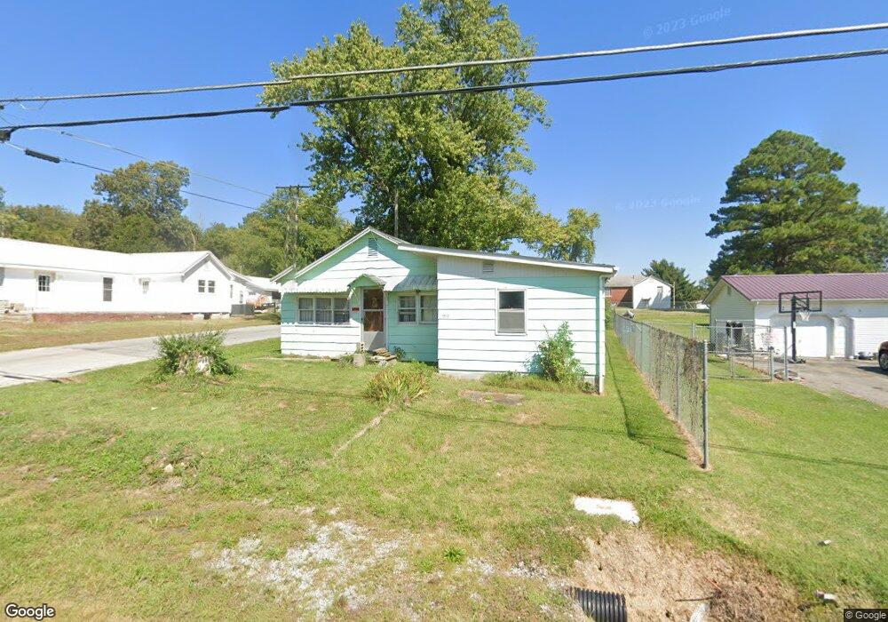
1512 Dorris Heights Rd Harrisburg, IL 62946
Estimated Value: $52,993 - $125,000
--
Bed
--
Bath
--
Sq Ft
8,625
Sq Ft Lot
About This Home
This home is located at 1512 Dorris Heights Rd, Harrisburg, IL 62946 and is currently estimated at $83,748. 1512 Dorris Heights Rd is a home with nearby schools including East Side Intermediate School, Harrisburg Middle School, and Harrisburg High School.
Ownership History
Date
Name
Owned For
Owner Type
Purchase Details
Closed on
Jun 15, 2020
Sold by
Price Kenneth D and Larry Price Irrevocable Trust
Bought by
Price Kenneth D and Price Richard H
Current Estimated Value
Purchase Details
Closed on
Jan 15, 2020
Sold by
Price Larry D
Bought by
Larry Price Irrevocable Trust
Purchase Details
Closed on
Jul 13, 2018
Sold by
Price Larry and Price Kenneth D
Bought by
Mitchell Rick
Create a Home Valuation Report for This Property
The Home Valuation Report is an in-depth analysis detailing your home's value as well as a comparison with similar homes in the area
Home Values in the Area
Average Home Value in this Area
Purchase History
| Date | Buyer | Sale Price | Title Company |
|---|---|---|---|
| Price Kenneth D | -- | None Available | |
| Larry Price Irrevocable Trust | -- | None Available | |
| Mitchell Rick | -- | Attorney |
Source: Public Records
Tax History Compared to Growth
Tax History
| Year | Tax Paid | Tax Assessment Tax Assessment Total Assessment is a certain percentage of the fair market value that is determined by local assessors to be the total taxable value of land and additions on the property. | Land | Improvement |
|---|---|---|---|---|
| 2024 | $210 | $2,349 | $2,034 | $315 |
| 2023 | $700 | $7,086 | $1,724 | $5,362 |
| 2022 | $690 | $6,680 | $1,625 | $5,055 |
| 2021 | $714 | $6,886 | $1,675 | $5,211 |
| 2020 | $706 | $6,680 | $1,625 | $5,055 |
| 2019 | $719 | $6,680 | $1,625 | $5,055 |
| 2018 | $1,038 | $9,535 | $1,625 | $7,910 |
| 2017 | $1,022 | $9,535 | $1,625 | $7,910 |
| 2016 | $10 | $9,535 | $1,625 | $7,910 |
| 2015 | -- | $9,535 | $1,625 | $7,910 |
| 2014 | $944 | $9,535 | $1,625 | $7,910 |
| 2013 | $944 | $9,535 | $1,625 | $7,910 |
| 2012 | $944 | $9,535 | $1,625 | $7,910 |
Source: Public Records
Map
Nearby Homes
- 1120 Dorris Heights Rd
- 104 Hickory St
- 204 N Sherman St
- 205 S Shaw St
- 111 W Midkiff St
- 430 W Church St
- 504 W South St
- 405 S Shaw St
- 216 W Poplar St
- 827 W Raymond St
- 202 W Poplar St
- 305 W Church St
- 305 W Lincoln St
- 210 W Lincoln St
- 0 Ron Crank Dr Unit EB441387
- 500 W Sloan St
- 215 S Jackson St
- 520 S Mckinley St
- 614 W College St
- 206 W Homer Ave
- 1500 Dorris Heights Rd
- 1600 Dorris Heights Rd
- 1616 Green St
- 1612 Dorris Heights Rd
- 1416 Dorris Heights Rd
- 1609 Green St
- 1620 Dorris Heights Rd
- 1513 Dorris Heights Rd
- 1313 Green St
- 1617 Green St
- 1609 Dorris Heights Rd
- 1709 Green St
- 1408 Dorris Heights Rd
- 1704 Dorris Heights Rd
- 1621 May St
- 1409 Dorris Heights Rd
- 1700 Green St
- 1400 Green St
- 1619 Dorris Heights Rd
- 1309 Green St