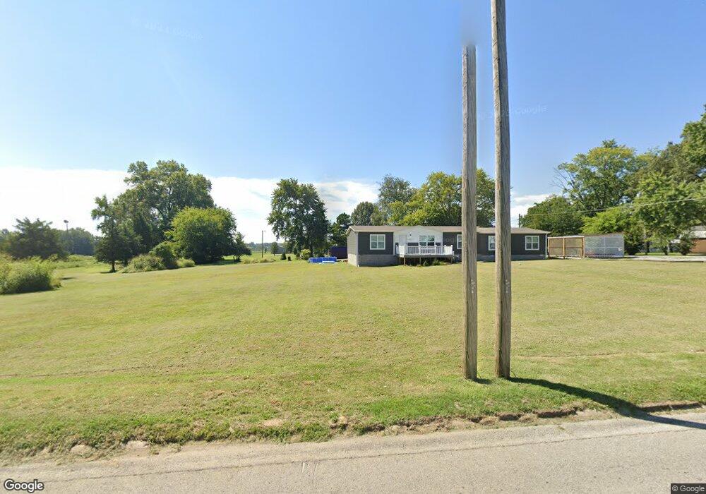
1513 Dorris Heights Rd Harrisburg, IL 62946
Estimated Value: $240,000 - $262,185
--
Bed
--
Bath
--
Sq Ft
0.93
Acres
About This Home
This home is located at 1513 Dorris Heights Rd, Harrisburg, IL 62946 and is currently estimated at $251,093. 1513 Dorris Heights Rd is a home with nearby schools including East Side Intermediate School, Harrisburg Middle School, and Harrisburg High School.
Ownership History
Date
Name
Owned For
Owner Type
Purchase Details
Closed on
Oct 17, 2022
Sold by
Wright Kody
Bought by
Wright Kody and Wright Raechel
Current Estimated Value
Home Financials for this Owner
Home Financials are based on the most recent Mortgage that was taken out on this home.
Original Mortgage
$180,000
Interest Rate
6.02%
Mortgage Type
Construction
Purchase Details
Closed on
Mar 27, 2021
Sold by
Duncan Masuko
Bought by
Duncan Wade and Pinkston Donna F
Create a Home Valuation Report for This Property
The Home Valuation Report is an in-depth analysis detailing your home's value as well as a comparison with similar homes in the area
Home Values in the Area
Average Home Value in this Area
Purchase History
| Date | Buyer | Sale Price | Title Company |
|---|---|---|---|
| Wright Kody | -- | -- | |
| Duncan Wade | -- | None Available |
Source: Public Records
Mortgage History
| Date | Status | Borrower | Loan Amount |
|---|---|---|---|
| Closed | Wright Kody | $180,000 |
Source: Public Records
Tax History Compared to Growth
Tax History
| Year | Tax Paid | Tax Assessment Tax Assessment Total Assessment is a certain percentage of the fair market value that is determined by local assessors to be the total taxable value of land and additions on the property. | Land | Improvement |
|---|---|---|---|---|
| 2024 | $6,746 | $81,361 | $5,813 | $75,548 |
| 2023 | $6,811 | $68,962 | $4,927 | $64,035 |
| 2022 | $480 | $4,645 | $4,645 | $0 |
| 2021 | $497 | $4,789 | $4,789 | $0 |
| 2020 | $491 | $4,645 | $4,645 | $0 |
| 2019 | $500 | $4,645 | $4,645 | $0 |
| 2018 | $506 | $4,645 | $4,645 | $0 |
| 2017 | $498 | $4,645 | $4,645 | $0 |
| 2016 | $5 | $4,645 | $4,645 | $0 |
| 2015 | -- | $4,645 | $4,645 | $0 |
| 2014 | $461 | $4,645 | $4,645 | $0 |
| 2013 | $461 | $4,645 | $4,645 | $0 |
| 2012 | $461 | $4,645 | $4,645 | $0 |
Source: Public Records
Map
Nearby Homes
- 1120 Dorris Heights Rd
- 104 Hickory St
- 204 N Sherman St
- 205 S Shaw St
- 111 W Midkiff St
- 430 W Church St
- 504 W South St
- 405 S Shaw St
- 216 W Poplar St
- 827 W Raymond St
- 202 W Poplar St
- 305 W Church St
- 305 W Lincoln St
- 210 W Lincoln St
- 0 Ron Crank Dr Unit EB441387
- 500 W Sloan St
- 215 S Jackson St
- 520 S Mckinley St
- 614 W College St
- 206 W Homer Ave
- 1400 Green St
- 1313 Green St
- 1409 Dorris Heights Rd
- 1304 Green St
- 1500 Dorris Heights Rd
- 1416 Dorris Heights Rd
- 1512 Dorris Heights Rd
- 1609 Dorris Heights Rd
- 1600 Dorris Heights Rd
- 1309 Green St
- 1408 Dorris Heights Rd
- 1612 Dorris Heights Rd
- 1616 Green St
- 1207 Green St
- 1620 Dorris Heights Rd
- 1321 Dorris Heights Rd
- 1619 Dorris Heights Rd
- 1704 Dorris Heights Rd
- 1609 Green St
- 1627 Dorris Heights Rd