1514 Full Moon Rd Shell Knob, MO 65747
Estimated Value: $514,045 - $849,000
3
Beds
3
Baths
2,971
Sq Ft
$213/Sq Ft
Est. Value
About This Home
This home is located at 1514 Full Moon Rd, Shell Knob, MO 65747 and is currently estimated at $634,261, approximately $213 per square foot. 1514 Full Moon Rd is a home located in Stone County with nearby schools including Shell Knob Elementary School.
Ownership History
Date
Name
Owned For
Owner Type
Purchase Details
Closed on
Mar 18, 2025
Sold by
Etherington Family Trust and Etherington Glenn Allen
Bought by
Glenn A Etherington Revocable Trust
Current Estimated Value
Purchase Details
Closed on
Mar 1, 2011
Sold by
Hotzler Gerald L and Gerald L Hotzler Trust
Bought by
Etherington Charles A and Etherington Joni W
Home Financials for this Owner
Home Financials are based on the most recent Mortgage that was taken out on this home.
Original Mortgage
$292,000
Interest Rate
4.1%
Mortgage Type
New Conventional
Create a Home Valuation Report for This Property
The Home Valuation Report is an in-depth analysis detailing your home's value as well as a comparison with similar homes in the area
Home Values in the Area
Average Home Value in this Area
Purchase History
| Date | Buyer | Sale Price | Title Company |
|---|---|---|---|
| Glenn A Etherington Revocable Trust | -- | None Listed On Document | |
| Etherington Charles A | -- | -- |
Source: Public Records
Mortgage History
| Date | Status | Borrower | Loan Amount |
|---|---|---|---|
| Previous Owner | Etherington Charles A | $292,000 |
Source: Public Records
Tax History Compared to Growth
Tax History
| Year | Tax Paid | Tax Assessment Tax Assessment Total Assessment is a certain percentage of the fair market value that is determined by local assessors to be the total taxable value of land and additions on the property. | Land | Improvement |
|---|---|---|---|---|
| 2025 | $1,639 | $34,880 | -- | -- |
| 2024 | $1,637 | $34,880 | -- | -- |
| 2023 | $1,637 | $34,880 | $0 | $0 |
| 2022 | $1,627 | $34,880 | $0 | $0 |
| 2021 | $1,648 | $34,880 | $0 | $0 |
| 2020 | $1,693 | $34,880 | $0 | $0 |
| 2019 | $1,690 | $34,880 | $0 | $0 |
| 2018 | $1,690 | $34,880 | $0 | $0 |
| 2017 | $1,478 | $34,880 | $0 | $0 |
| 2016 | $1,469 | $34,880 | $0 | $0 |
| 2015 | $1,471 | $34,880 | $0 | $0 |
| 2014 | $1,432 | $33,950 | $0 | $0 |
| 2012 | -- | $33,950 | $0 | $0 |
Source: Public Records
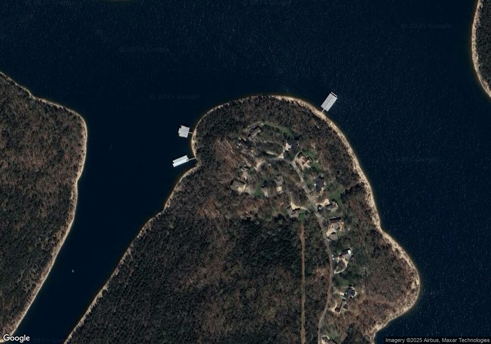
Map
Nearby Homes
- Tbd Tract4 Big Bay Rd
- 202 Big Bay Rd
- Lot 2 Pr 2200
- Tbd Tract3 Yy-1-a
- Tbd Tract2 Yy-1-a
- 31 Yy-1-a Unit 5
- 31 Yy-1-a Unit 2
- 31 Yy-1-a Unit 7
- 31 Yy-1-a Unit 31
- 31 Yy-1-a Unit 4
- 23 Woodcliff Rd
- 000 N Hillside St
- 000 N Keystone St
- 000 N Sunset Ln
- 32 Ledgestone Rd
- .17M/L Farm Road 2208
- 175 Ivy St
- 000 Turkey Mountain Estates #2 Unit Lots 196/198
- 000 E Bayberry St
- 26386 State Highway Yy
- 1438 Full Moon Rd
- 1394 Full Moon Rd
- 1360 Full Moon Rd
- 1334 Full Moon Rd
- 1300 Full Moon Rd
- 1250 Full Moon Rd
- 1172 Full Moon Rd
- 921 Lacey Marie Trail
- 901 Lacey Marie Trail
- 777 Lacey Marie Trail
- 277ac Stallion Bluff Rd
- 324 Dynamite Point
- 312 Dynamite Point
- 284 Dynamite Point
- 323 Dynamite Point
- 321 Dynamite Point
- 247 Dynamite Point
- 000 Lacey Marie Trail
- 0 Lacey Marie Trail
- Lot 2 Whip Poor Will