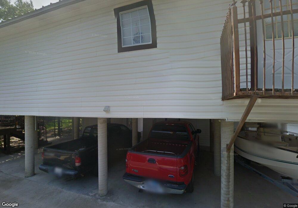
1517 County Road 132a Unit Lots 41 & 42 Kingsland, TX 78639
Estimated Value: $976,000 - $1,123,000
--
Bed
--
Bath
1,880
Sq Ft
$559/Sq Ft
Est. Value
About This Home
This home is located at 1517 County Road 132a Unit Lots 41 & 42, Kingsland, TX 78639 and is currently estimated at $1,050,333, approximately $558 per square foot. 1517 County Road 132a Unit Lots 41 & 42 is a home located in Burnet County with nearby schools including Shady Grove Elementary School, RJ Richey Elementary School, and Burnet Middle School.
Ownership History
Date
Name
Owned For
Owner Type
Purchase Details
Closed on
Jun 18, 2020
Sold by
Shifflett Jo Ellen and Brune David A
Bought by
Fogarty Ryan
Current Estimated Value
Home Financials for this Owner
Home Financials are based on the most recent Mortgage that was taken out on this home.
Original Mortgage
$319,600
Outstanding Balance
$283,301
Interest Rate
3.2%
Mortgage Type
New Conventional
Estimated Equity
$767,032
Create a Home Valuation Report for This Property
The Home Valuation Report is an in-depth analysis detailing your home's value as well as a comparison with similar homes in the area
Home Values in the Area
Average Home Value in this Area
Purchase History
| Date | Buyer | Sale Price | Title Company |
|---|---|---|---|
| Fogarty Ryan | -- | None Available |
Source: Public Records
Mortgage History
| Date | Status | Borrower | Loan Amount |
|---|---|---|---|
| Open | Fogarty Ryan | $319,600 |
Source: Public Records
Tax History Compared to Growth
Tax History
| Year | Tax Paid | Tax Assessment Tax Assessment Total Assessment is a certain percentage of the fair market value that is determined by local assessors to be the total taxable value of land and additions on the property. | Land | Improvement |
|---|---|---|---|---|
| 2025 | $12,728 | $1,140,000 | $450,855 | $689,145 |
| 2024 | $12,728 | $1,158,754 | $450,855 | $707,899 |
| 2023 | $12,728 | $725,000 | $230,437 | $494,563 |
| 2022 | $12,315 | $725,000 | $230,437 | $494,563 |
| 2021 | $10,935 | $600,000 | $230,437 | $369,563 |
| 2020 | $6,961 | $371,974 | $90,956 | $281,018 |
| 2019 | $13,228 | $682,225 | $398,820 | $283,405 |
| 2018 | $13,050 | $662,639 | $398,820 | $263,819 |
| 2017 | $12,862 | $636,409 | $398,820 | $237,589 |
| 2016 | $12,651 | $625,961 | $398,820 | $227,141 |
| 2015 | -- | $625,961 | $398,820 | $227,141 |
| 2014 | -- | $567,274 | $398,820 | $168,454 |
Source: Public Records
Map
Nearby Homes
- 1110 County Road 132a
- LOT 19 County Road 132a
- 1413 County Road 132a
- 1100 County Road 132a
- 1109 County Road 132a
- 1005 Terry Ln
- 1117 County Road 132b
- 105 Mesquite Bend
- 104 Raindrop Ln
- 101 Lakeview
- 112 Raindrop Ln
- 1310 Oak Springs Rd
- 204 N Waterway
- 000 W Fm 1431 Hwy
- 108 S Waterway
- 100 Waterway Dr
- 100 S Waterway Dr
- 129 Bud Ln
- 211 Chandler Way
- 208 Colina Cove Dr
- 1517 County Road 132a
- 1517 County Road 132a Unit Lot 43
- 1515 County Road 132a
- 1512 County Road 132a
- 1513 County Road 132a
- 1510 County Road 132a
- 1506 County Road 132a
- 1509 Cr 132 A
- 1509 County Road 132a
- 1509 County Road 132a Unit Mountain View
- 1507 County Road 132a
- 1502 County Road 132a
- 1007 County Road 132b
- 1013 County Road 132b
- 1009 County Road 132b
- 1009 County Road 132a
- 1200 County Road 132a
- 1200 Cr 132a
- 1007 County Road 132a
- 1005 Cr 132b