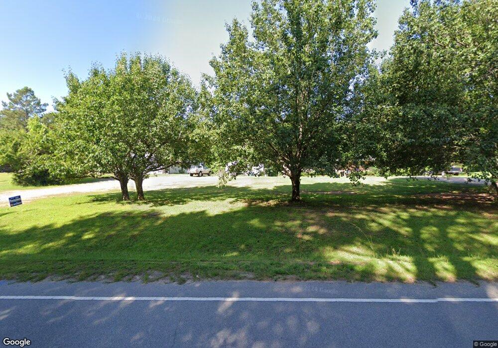
1519 Landis Rd Winnsboro, SC 29180
Estimated Value: $140,872 - $231,000
--
Bed
--
Bath
1,245
Sq Ft
$141/Sq Ft
Est. Value
About This Home
This home is located at 1519 Landis Rd, Winnsboro, SC 29180 and is currently estimated at $175,968, approximately $141 per square foot. 1519 Landis Rd is a home located in Fairfield County with nearby schools including Fairfield Middle School and Fairfield Central High School.
Ownership History
Date
Name
Owned For
Owner Type
Purchase Details
Closed on
Jan 7, 2008
Sold by
Ellisor Mary M and Ellisor Wayne T
Bought by
Albert Charlie David and Albert Miranda C
Current Estimated Value
Home Financials for this Owner
Home Financials are based on the most recent Mortgage that was taken out on this home.
Original Mortgage
$75,500
Outstanding Balance
$47,108
Interest Rate
5.94%
Mortgage Type
Purchase Money Mortgage
Estimated Equity
$128,860
Create a Home Valuation Report for This Property
The Home Valuation Report is an in-depth analysis detailing your home's value as well as a comparison with similar homes in the area
Home Values in the Area
Average Home Value in this Area
Purchase History
| Date | Buyer | Sale Price | Title Company |
|---|---|---|---|
| Albert Charlie David | $95,000 | None Available |
Source: Public Records
Mortgage History
| Date | Status | Borrower | Loan Amount |
|---|---|---|---|
| Open | Albert Charlie David | $75,500 |
Source: Public Records
Tax History Compared to Growth
Tax History
| Year | Tax Paid | Tax Assessment Tax Assessment Total Assessment is a certain percentage of the fair market value that is determined by local assessors to be the total taxable value of land and additions on the property. | Land | Improvement |
|---|---|---|---|---|
| 2024 | $566 | $3,144 | $520 | $2,624 |
| 2023 | $566 | $3,144 | $520 | $2,624 |
| 2022 | $528 | $3,144 | $520 | $2,624 |
| 2021 | $530 | $3,144 | $520 | $2,624 |
| 2020 | $564 | $3,144 | $520 | $2,624 |
| 2019 | $559 | $3,112 | $520 | $2,592 |
| 2018 | $548 | $3,112 | $520 | $2,592 |
| 2017 | $535 | $3,112 | $0 | $0 |
| 2016 | $541 | $3,112 | $0 | $0 |
| 2015 | $635 | $0 | $0 | $0 |
| 2014 | $635 | $3,726 | $0 | $0 |
| 2012 | $635 | $3,726 | $0 | $0 |
Source: Public Records
Map
Nearby Homes
- 00 Mann Rd
- 0 Evergreen Rd
- 00 Landis Rd
- TBD Scotts Crossing Rd
- 16419 State Highway 215 S
- 0 State Road S-20-327
- 00 State Road S-20-419
- Kennedy Rd
- 210 Ridge Rd Unit 25
- 210 Ridge Rd
- 199 Sunset Ln
- TBD Hinnants Store Rd
- TBD Bundrick Rd
- 5267 Reservoir Rd
- 2086 State Road S-20-19
- 13294 State Hyw 215 South Hwy S
- 1130 Richtex Rd
- 1315 Richtex Rd
- 1252 Richtex Rd
- 1316 Richtex Rd
- 1493 Landis Rd
- 1545 Landis Rd
- 1630 Landis Rd
- 1229 Landis Rd
- 1511 Mann Rd
- 1186 Estes Ln
- 2063 Landis Rd
- 1399 Mann Rd
- 2105 Landis Rd
- 2109 Landis Rd
- 1356 Estes Ln
- 44 Firefly Dr
- 1275 Mann Rd
- 2260 Landis Rd
- 806 Estes Ln
- 2314 Landis Rd
- 773 Honey Bee Cir
- 935 Honey Bee Cir
- 902 Honey Bee Cir
- 934 Honey Bee Cir
