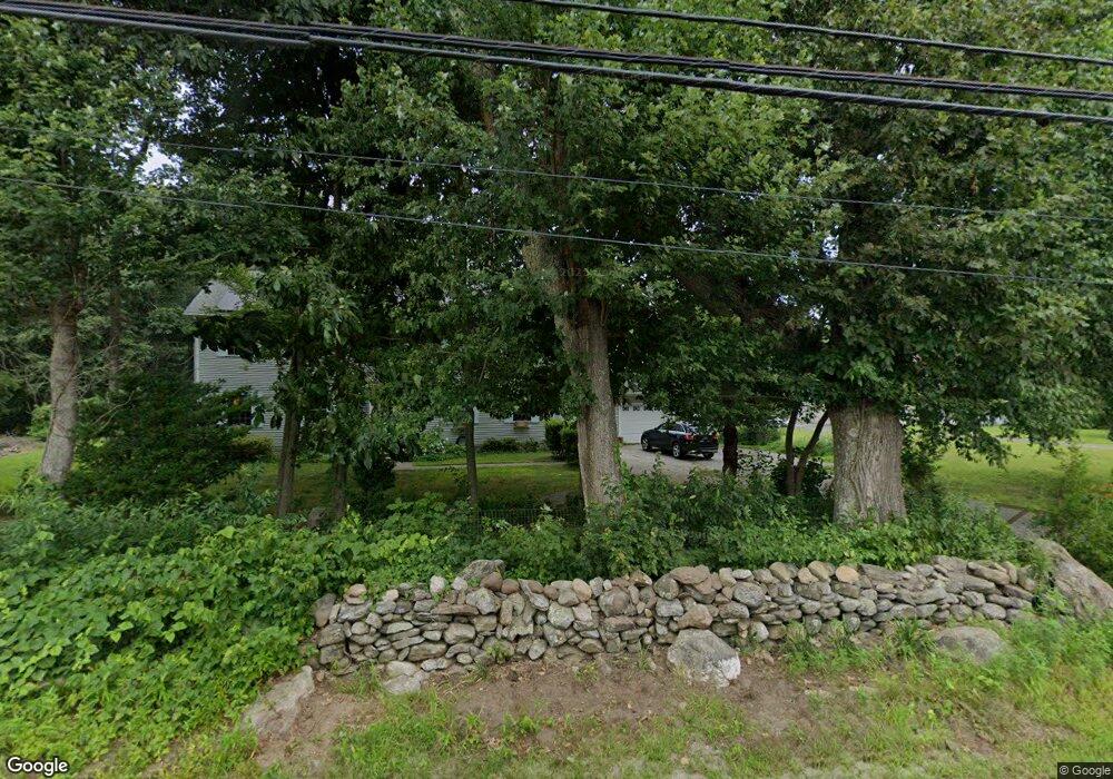
152 Kimball Rd Jewett City, CT 06351
Estimated Value: $507,000 - $590,000
4
Beds
2
Baths
2,912
Sq Ft
$186/Sq Ft
Est. Value
About This Home
This home is located at 152 Kimball Rd, Jewett City, CT 06351 and is currently estimated at $541,409, approximately $185 per square foot. 152 Kimball Rd is a home located in New London County with nearby schools including Lisbon Central School and St. Maryour Lady of the Rosary.
Ownership History
Date
Name
Owned For
Owner Type
Purchase Details
Closed on
Oct 27, 2011
Sold by
Residential Mtg T2008-
Bought by
Driggers Rongina
Current Estimated Value
Purchase Details
Closed on
Jul 30, 2010
Sold by
Champlain Leslie
Bought by
Res Mortgage T
Purchase Details
Closed on
May 1, 2006
Sold by
Concord Equity Grp Llc
Bought by
Champlain Leslie
Home Financials for this Owner
Home Financials are based on the most recent Mortgage that was taken out on this home.
Original Mortgage
$262,000
Interest Rate
6.4%
Create a Home Valuation Report for This Property
The Home Valuation Report is an in-depth analysis detailing your home's value as well as a comparison with similar homes in the area
Home Values in the Area
Average Home Value in this Area
Purchase History
| Date | Buyer | Sale Price | Title Company |
|---|---|---|---|
| Driggers Rongina | -- | -- | |
| Res Mortgage T | -- | -- | |
| Champlain Leslie | $110,000 | -- |
Source: Public Records
Mortgage History
| Date | Status | Borrower | Loan Amount |
|---|---|---|---|
| Open | Champlain Leslie | $250,300 | |
| Previous Owner | Champlain Leslie | $262,000 |
Source: Public Records
Tax History Compared to Growth
Tax History
| Year | Tax Paid | Tax Assessment Tax Assessment Total Assessment is a certain percentage of the fair market value that is determined by local assessors to be the total taxable value of land and additions on the property. | Land | Improvement |
|---|---|---|---|---|
| 2025 | $7,190 | $269,300 | $41,860 | $227,440 |
| 2024 | $6,848 | $269,300 | $41,860 | $227,440 |
| 2023 | $6,310 | $269,300 | $41,860 | $227,440 |
| 2022 | $5,987 | $269,300 | $41,860 | $227,440 |
| 2021 | $5,365 | $230,930 | $44,310 | $186,620 |
| 2020 | $5,365 | $230,930 | $44,310 | $186,620 |
| 2019 | $5,365 | $230,930 | $44,310 | $186,620 |
| 2018 | $5,196 | $230,930 | $44,310 | $186,620 |
| 2017 | $5,196 | $230,930 | $44,310 | $186,620 |
| 2014 | $4,273 | $219,140 | $0 | $0 |
Source: Public Records
Map
Nearby Homes
- 165 Kimball Rd
- 8 Harvest Rd
- 24 Kimball Rd
- 38 Sergeants Way
- 158 N Burnham Hwy
- 108 Phillips Rd
- 28 Pleasant View Cove
- 41 Arbor Rd
- 85 Potash Hill Rd
- 34 Newent Rd
- 121 Walker Rd
- 13 Central Ave
- 12 William St
- 61 S Main St Unit 507
- 112 E Main St
- 65 S Main St
- 41 S Main St Unit 51
- 2 Mission St
- 77 Slater Ave Unit 79
- 23 Carely Ave