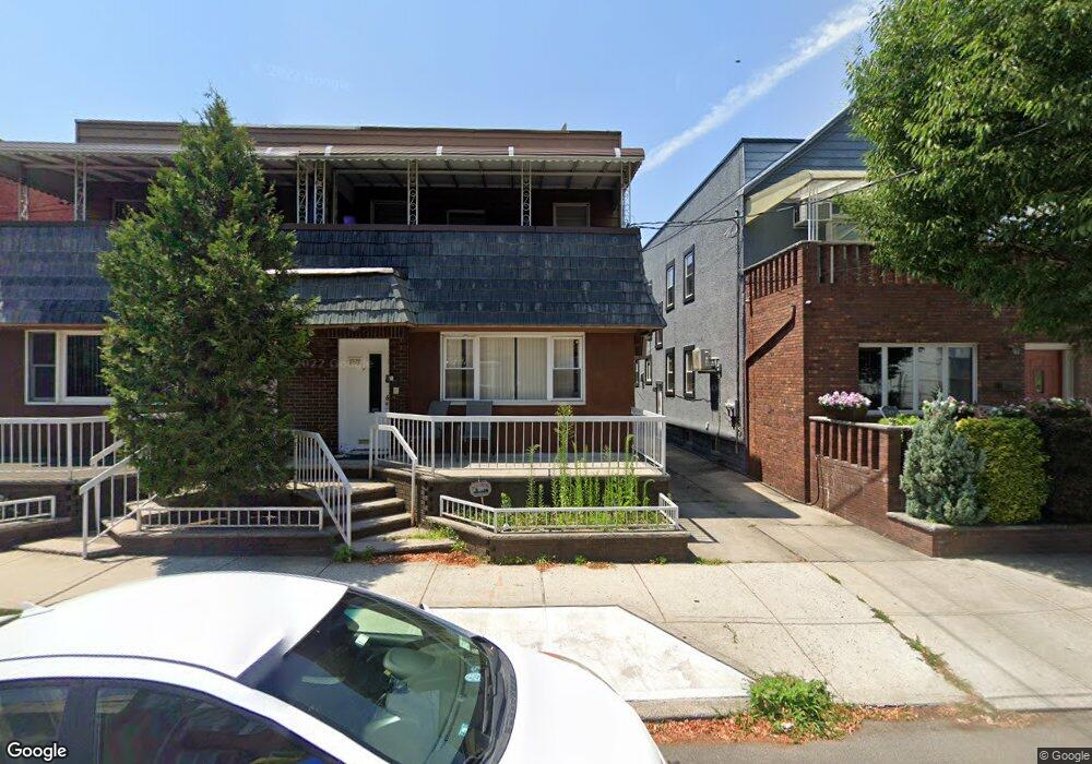
1520 Kimball St Brooklyn, NY 11234
Marine Park NeighborhoodEstimated Value: $966,220 - $1,134,000
--
Bed
--
Bath
2,206
Sq Ft
$480/Sq Ft
Est. Value
About This Home
This home is located at 1520 Kimball St, Brooklyn, NY 11234 and is currently estimated at $1,058,805, approximately $479 per square foot. 1520 Kimball St is a home located in Kings County with nearby schools including PS 222 Katherine R Snyder, J.H.S. 278 Marine Park, and James Madison High School.
Ownership History
Date
Name
Owned For
Owner Type
Purchase Details
Closed on
Jun 22, 2010
Sold by
Mott Dennis
Bought by
Gross Jacob and Gross Orit
Current Estimated Value
Home Financials for this Owner
Home Financials are based on the most recent Mortgage that was taken out on this home.
Original Mortgage
$440,000
Outstanding Balance
$292,126
Interest Rate
4.78%
Mortgage Type
Purchase Money Mortgage
Estimated Equity
$766,679
Purchase Details
Closed on
Jun 13, 2001
Sold by
Genovese Anthony
Bought by
Mott Dennis and Mott Eleni
Home Financials for this Owner
Home Financials are based on the most recent Mortgage that was taken out on this home.
Original Mortgage
$242,000
Interest Rate
7.21%
Create a Home Valuation Report for This Property
The Home Valuation Report is an in-depth analysis detailing your home's value as well as a comparison with similar homes in the area
Home Values in the Area
Average Home Value in this Area
Purchase History
| Date | Buyer | Sale Price | Title Company |
|---|---|---|---|
| Gross Jacob | $550,750 | -- | |
| Mott Dennis | -- | -- |
Source: Public Records
Mortgage History
| Date | Status | Borrower | Loan Amount |
|---|---|---|---|
| Open | Gross Jacob | $440,000 | |
| Previous Owner | Mott Dennis | $242,000 |
Source: Public Records
Tax History Compared to Growth
Tax History
| Year | Tax Paid | Tax Assessment Tax Assessment Total Assessment is a certain percentage of the fair market value that is determined by local assessors to be the total taxable value of land and additions on the property. | Land | Improvement |
|---|---|---|---|---|
| 2025 | $9,197 | $67,680 | $10,320 | $57,360 |
| 2024 | $9,197 | $53,460 | $10,320 | $43,140 |
| 2023 | $8,757 | $64,980 | $10,320 | $54,660 |
| 2022 | $8,098 | $61,080 | $10,320 | $50,760 |
| 2021 | $8,543 | $58,680 | $10,320 | $48,360 |
| 2020 | $4,160 | $60,480 | $10,320 | $50,160 |
| 2019 | $7,933 | $57,420 | $10,320 | $47,100 |
| 2018 | $7,265 | $37,099 | $7,734 | $29,365 |
| 2017 | $6,835 | $35,001 | $9,053 | $25,948 |
| 2016 | $6,687 | $35,001 | $9,601 | $25,400 |
| 2015 | $3,763 | $34,320 | $11,460 | $22,860 |
| 2014 | $3,763 | $32,770 | $9,556 | $23,214 |
Source: Public Records
Map
Nearby Homes
- 1513 Kimball St
- 1532 Kimball St
- 3708 Avenue M
- 3920 Avenue P
- 3622 Avenue M
- 1530 E 38th St
- 1554 E 38th St
- 1531 E 37th St
- 3626 Kings Hwy Unit 4E
- 3626 Kings Hwy
- 3626 Kings Hwy Unit 6C
- 3710 Avenue P
- 2075 Flatbush Ave
- 2230 Troy Ave
- 1607 E 43rd St
- 1668 Hendrickson St
- 3402 Kings Hwy
- 1517 E 34th St
- 1358 E 35th St
- 1642 E 45th St
- 1522 Kimball St
- 1516 Kimball St
- 1526 Kimball St
- 1528 Kimball St
- 3842 Flatlands Ave
- 3840 Flatlands Ave
- 3840 Flatlands Ave Unit 1
- 1519 Ryder St
- 1515 Ryder St
- 1521 Ryder St
- 1525 Ryder St
- 3846 Flatlands Ave
- 3838 Flatlands Ave
- 3834 Flatlands Ave
- 3836 Flatlands Ave
- 1527 Ryder St
- 1534 Kimball St
- 3832 Flatlands Ave
- 1531 Ryder St
- 3830 Flatlands Ave